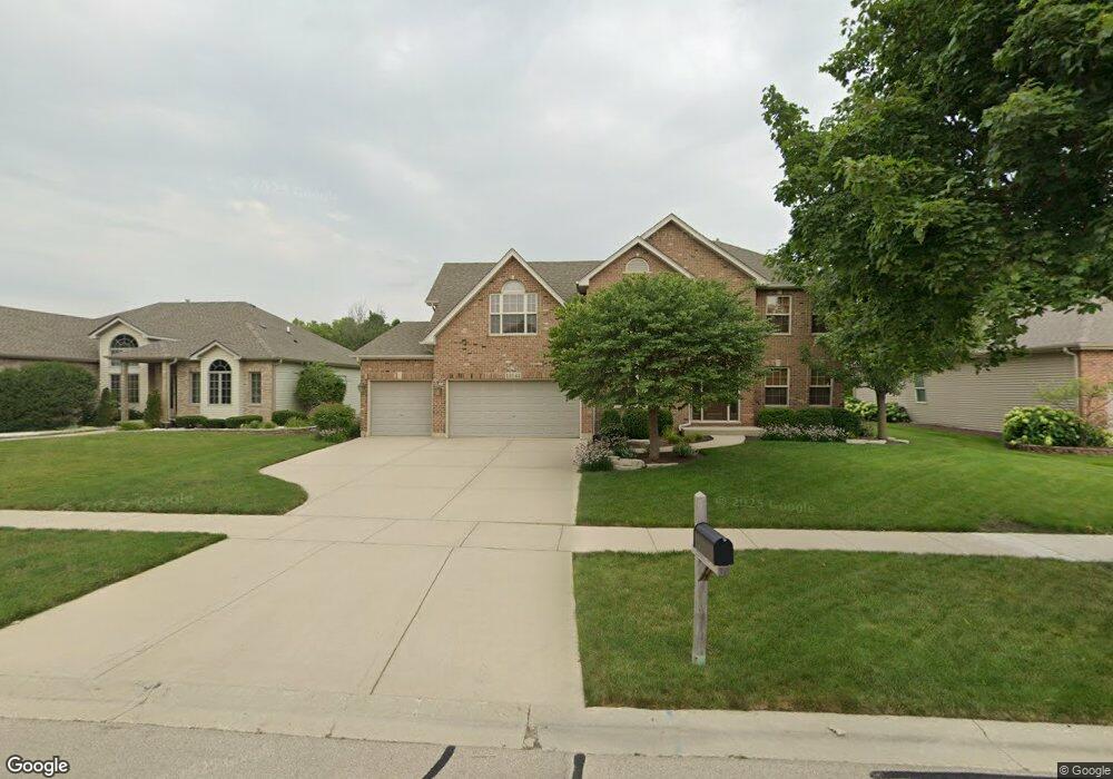
13143 Millbank Dr Unit 2 Plainfield, IL 60585
North Plainfield NeighborhoodEstimated Value: $576,968 - $603,000
--
Bed
1
Bath
2,842
Sq Ft
$207/Sq Ft
Est. Value
About This Home
This home is located at 13143 Millbank Dr Unit 2, Plainfield, IL 60585 and is currently estimated at $589,242, approximately $207 per square foot. 13143 Millbank Dr Unit 2 is a home located in Will County with nearby schools including Eagle Pointe Elementary School, Heritage Grove Middle School, and Plainfield North High School.
Ownership History
Date
Name
Owned For
Owner Type
Purchase Details
Closed on
Oct 3, 2002
Sold by
Notaro Homes Inc
Bought by
Ohlson Bradley P and Ohlson Jennifer A
Current Estimated Value
Home Financials for this Owner
Home Financials are based on the most recent Mortgage that was taken out on this home.
Original Mortgage
$225,000
Outstanding Balance
$95,569
Interest Rate
6.34%
Estimated Equity
$493,673
Purchase Details
Closed on
Jun 9, 2001
Sold by
First Midwest Trust Company
Bought by
Notaro Homes Inc
Create a Home Valuation Report for This Property
The Home Valuation Report is an in-depth analysis detailing your home's value as well as a comparison with similar homes in the area
Home Values in the Area
Average Home Value in this Area
Purchase History
| Date | Buyer | Sale Price | Title Company |
|---|---|---|---|
| Ohlson Bradley P | $324,000 | Greater Illinois Title Compa | |
| Notaro Homes Inc | $60,000 | Greater Illinois Title Compa |
Source: Public Records
Mortgage History
| Date | Status | Borrower | Loan Amount |
|---|---|---|---|
| Open | Ohlson Bradley P | $225,000 |
Source: Public Records
Tax History Compared to Growth
Tax History
| Year | Tax Paid | Tax Assessment Tax Assessment Total Assessment is a certain percentage of the fair market value that is determined by local assessors to be the total taxable value of land and additions on the property. | Land | Improvement |
|---|---|---|---|---|
| 2024 | $11,772 | $169,754 | $36,830 | $132,924 |
| 2023 | $11,772 | $149,959 | $32,535 | $117,424 |
| 2022 | $10,061 | $131,541 | $30,778 | $100,763 |
| 2021 | $9,690 | $125,277 | $29,312 | $95,965 |
| 2020 | $9,684 | $123,292 | $28,848 | $94,444 |
| 2019 | $9,538 | $119,817 | $28,035 | $91,782 |
| 2018 | $8,794 | $108,830 | $27,418 | $81,412 |
| 2017 | $9,510 | $114,736 | $26,710 | $88,026 |
| 2016 | $9,533 | $112,266 | $26,135 | $86,131 |
| 2015 | $10,001 | $107,948 | $25,130 | $82,818 |
| 2014 | $10,001 | $111,820 | $25,130 | $86,690 |
| 2013 | $10,001 | $111,820 | $25,130 | $86,690 |
Source: Public Records
Map
Nearby Homes
- 12854 S Sydney Cir
- 13018 S Sydney Cir
- 12938 S Beckham Dr
- 24650 W Adalyn Ct
- 24535 W Beckham Cir
- 12955 S Sydney Cir
- 24439 W Beckham Cir
- 12942 S Sydney Cir
- 12966 S Twin Pines Ln
- 12946 S Sydney Cir
- 12950 S Twin Pines Ln
- 12901 S Twin Pines Ln
- 12916 S Mason Ln
- 24331 Norwood Dr
- 24708 W Owen Ct
- 13028 Bradford Ln Unit 1
- 24505 W Kroll Dr Unit 67416
- 24638 W Alexis Ln
- 13516 Vicarage Dr Unit 2
- 24634 W Alexis Ln
- 13151 Millbank Dr
- 13135 Millbank Dr Unit 2
- 13144 Vicarage Dr
- 13136 Vicarage Dr
- 13127 Millbank Dr
- 13152 Vicarage Dr
- 13159 Millbank Dr
- 13128 Vicarage Dr
- 24709 Rushford Place
- 13160 Vicarage Dr Unit 2
- 13112 Millbank Dr Unit 2
- 13201 Millbank Dr
- 13120 Vicarage Dr
- 13136 Millbank Dr
- 24701 Hanover Ct
- 24717 Rushford Place
- 13202 Vicarage Dr Unit 2
- 13209 Millbank Dr
- 13144 Millbank Dr
- 24709 Hanover Ct