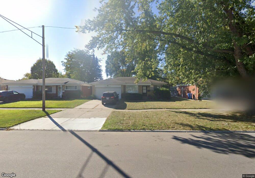
13146 Common Rd Warren, MI 48088
Northeast Warren NeighborhoodEstimated Value: $228,125 - $263,000
3
Beds
2
Baths
1,101
Sq Ft
$221/Sq Ft
Est. Value
About This Home
This home is located at 13146 Common Rd, Warren, MI 48088 and is currently estimated at $243,781, approximately $221 per square foot. 13146 Common Rd is a home located in Macomb County with nearby schools including Warren Woods Tower High School, Warren Woods Christian School, and Warren SDA Junior Academy.
Ownership History
Date
Name
Owned For
Owner Type
Purchase Details
Closed on
Apr 1, 2023
Sold by
Enyart Tricia
Bought by
Designated Holdings Llc
Current Estimated Value
Purchase Details
Closed on
Jun 19, 2020
Sold by
Enyart Brian
Bought by
Enyart Tricia
Purchase Details
Closed on
Mar 2, 2011
Sold by
Enyart Richard and Enyart Patricia
Bought by
Enyart Brian
Purchase Details
Closed on
Oct 5, 2005
Sold by
Enyart Richard
Bought by
Enyart Richard and Enyart Patricia
Create a Home Valuation Report for This Property
The Home Valuation Report is an in-depth analysis detailing your home's value as well as a comparison with similar homes in the area
Home Values in the Area
Average Home Value in this Area
Purchase History
| Date | Buyer | Sale Price | Title Company |
|---|---|---|---|
| Designated Holdings Llc | -- | None Listed On Document | |
| Enyart Tricia | -- | Philip F Greco Title Company | |
| Enyart Brian | -- | None Available | |
| Enyart Richard | -- | First American Title Ins Co | |
| Enyart Richard | -- | First American Title Ins Co |
Source: Public Records
Tax History
| Year | Tax Paid | Tax Assessment Tax Assessment Total Assessment is a certain percentage of the fair market value that is determined by local assessors to be the total taxable value of land and additions on the property. | Land | Improvement |
|---|---|---|---|---|
| 2025 | $7,124 | $108,700 | $0 | $0 |
| 2024 | $69 | $98,600 | $0 | $0 |
| 2023 | $2,640 | $95,150 | $0 | $0 |
| 2022 | $2,588 | $83,140 | $0 | $0 |
| 2021 | $3,345 | $76,000 | $0 | $0 |
| 2020 | $2,434 | $71,860 | $0 | $0 |
| 2019 | $2,325 | $68,690 | $0 | $0 |
| 2018 | $0 | $56,760 | $0 | $0 |
| 2017 | $2,221 | $50,970 | $9,700 | $41,270 |
| 2016 | $2,204 | $50,970 | $0 | $0 |
| 2015 | -- | $44,710 | $0 | $0 |
| 2013 | $2,130 | $41,680 | $0 | $0 |
Source: Public Records
Map
Nearby Homes
- 29649 Dover Ave
- 30032 Iroquois Dr
- 30045 Iroquois Dr
- 12531 Common Rd
- 29820 Palomino Dr
- 30806 Ridgefield Ave
- 30829 Eiffel Ave
- 54765 Palomino Ave
- 29143 Dover Ave
- 29454 Scarborough Dr Unit 7
- 29766 Wagner Ave
- 13019 Stanley Dr
- 13209 E 13 Mile Rd
- 29316 Roan Ave
- 29337 Roan Dr
- 29366 Wagner Dr
- 29105 Palomino Dr
- 14066 Castle Ave
- 13430 Dominic Dr
- 31036 Palomino Dr
- 13158 Common Rd
- 13134 Common Rd
- 13170 Common Rd
- 13139 Walter Ave
- 13127 Walter Ave
- 13155 Walter Ave
- 29830 Dover Ave
- 29842 Dover Ave
- 13206 Common Rd
- 29818 Dover Ave
- 13167 Walter Ave
- 13151 Common Rd
- 29806 Dover Ave
- 13139 Common Rd
- 13218 Common Rd
- 13209 Walter Ave
- 13163 Common Rd
- 13127 Common Rd
- 13201 Common Rd
- 13115 Common Rd
Your Personal Tour Guide
Ask me questions while you tour the home.