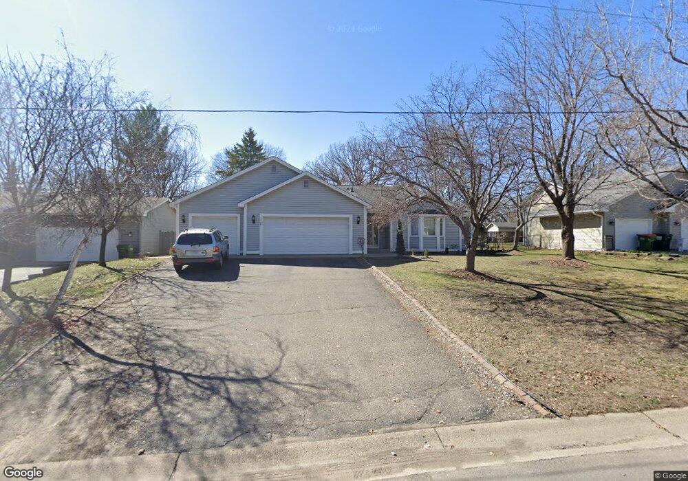
13148 Jay St NW Coon Rapids, MN 55448
Estimated Value: $370,000 - $401,000
4
Beds
2
Baths
2,014
Sq Ft
$190/Sq Ft
Est. Value
About This Home
This home is located at 13148 Jay St NW, Coon Rapids, MN 55448 and is currently estimated at $382,616, approximately $189 per square foot. 13148 Jay St NW is a home located in Anoka County with nearby schools including Lucile Bruner Elementary School, Morris Bye Elementary School, and Laughlin Junior/Senior High School.
Ownership History
Date
Name
Owned For
Owner Type
Purchase Details
Closed on
Nov 6, 2015
Sold by
Polzin Wallace and Nihart Polzin Marjorie
Bought by
Omwenga James D and Omwenga Hellen
Current Estimated Value
Home Financials for this Owner
Home Financials are based on the most recent Mortgage that was taken out on this home.
Original Mortgage
$199,323
Outstanding Balance
$154,505
Interest Rate
3.37%
Mortgage Type
FHA
Estimated Equity
$228,111
Create a Home Valuation Report for This Property
The Home Valuation Report is an in-depth analysis detailing your home's value as well as a comparison with similar homes in the area
Home Values in the Area
Average Home Value in this Area
Purchase History
| Date | Buyer | Sale Price | Title Company |
|---|---|---|---|
| Omwenga James D | $203,000 | Attorney |
Source: Public Records
Mortgage History
| Date | Status | Borrower | Loan Amount |
|---|---|---|---|
| Open | Omwenga James D | $199,323 |
Source: Public Records
Tax History Compared to Growth
Tax History
| Year | Tax Paid | Tax Assessment Tax Assessment Total Assessment is a certain percentage of the fair market value that is determined by local assessors to be the total taxable value of land and additions on the property. | Land | Improvement |
|---|---|---|---|---|
| 2025 | $3,543 | $343,400 | $90,000 | $253,400 |
| 2024 | $3,543 | $339,200 | $87,000 | $252,200 |
| 2023 | $3,327 | $329,500 | $72,000 | $257,500 |
| 2022 | $2,939 | $340,000 | $72,000 | $268,000 |
| 2021 | $2,892 | $270,600 | $56,000 | $214,600 |
| 2020 | $3,048 | $260,700 | $56,000 | $204,700 |
| 2019 | $3,305 | $254,300 | $56,000 | $198,300 |
| 2018 | $3,197 | $238,200 | $0 | $0 |
| 2017 | $3,010 | $219,700 | $0 | $0 |
| 2016 | $2,644 | $194,800 | $0 | $0 |
| 2015 | $2,380 | $194,800 | $50,000 | $144,800 |
| 2014 | -- | $163,400 | $35,400 | $128,000 |
Source: Public Records
Map
Nearby Homes
- 1687 131st Ln NW
- 1776 133rd Ave NW
- 1520 129th Ave NW
- 1930 127th Cir NW
- 13416 Swallow St NW
- 12796 Bluebird St NW
- 12554 Grouse St NW
- 13519 Partridge Cir NW
- 12760 Raven St NW
- 1593 126th Ln NW
- 1450 126th Ln NW
- 1234 128th Cir NW
- 2147 125th Ln NW
- 12365 Jay St NW
- 1625 124th Ave NW
- 2068 124th Ln NW
- 12463 Drake St NW
- 2270 137th Ln NW
- 13182 Zion St NW
- 2201 139th Ave NW
- 13132 Jay St NW
- 13164 Jay St NW
- 1837 131st Ln NW
- 13116 Jay St NW
- 1842 131st Ln NW
- 13180 Jay St NW
- 1780 131st Ln NW
- 1785 131st Ln NW
- 1847 131st Ln NW
- 13100 Jay St NW
- 1821 131st Ave NW
- 13196 Jay St NW
- 1775 131st Ln NW
- 1761 131st Ave NW
- 1770 131st Ln NW
- 1852 131st Ln NW
- 1832 132nd Ave NW
- 1782 132nd Ave NW
- 1831 131st Ave NW
- 1857 131st Ln NW