13149 Apple Rd Wilton, CA 95693
Estimated Value: $625,000 - $893,000
3
Beds
2
Baths
1,896
Sq Ft
$408/Sq Ft
Est. Value
About This Home
This home is located at 13149 Apple Rd, Wilton, CA 95693 and is currently estimated at $772,689, approximately $407 per square foot. 13149 Apple Rd is a home located in Sacramento County with nearby schools including C.W. Dillard Elementary School, Katherine L. Albiani Middle School, and Pleasant Grove High School.
Ownership History
Date
Name
Owned For
Owner Type
Purchase Details
Closed on
Jun 25, 2025
Sold by
Richofsky Lori M
Bought by
Richofsky Separate Property Trust and Richofsky
Current Estimated Value
Purchase Details
Closed on
Jan 30, 2023
Sold by
Carl R Richofsky Family Trust
Bought by
Richofsky Lori M
Purchase Details
Closed on
Jan 10, 2023
Sold by
Yokoi Stephanie Sachiko
Bought by
Richofsky Lori M
Purchase Details
Closed on
Dec 21, 1998
Sold by
Richofsky Carl R
Bought by
Richofsky Carl R
Create a Home Valuation Report for This Property
The Home Valuation Report is an in-depth analysis detailing your home's value as well as a comparison with similar homes in the area
Home Values in the Area
Average Home Value in this Area
Purchase History
| Date | Buyer | Sale Price | Title Company |
|---|---|---|---|
| Richofsky Separate Property Trust | -- | None Listed On Document | |
| Richofsky Lori M | -- | -- | |
| Richofsky Lori M | -- | -- | |
| Richofsky Carl R | -- | -- |
Source: Public Records
Tax History
| Year | Tax Paid | Tax Assessment Tax Assessment Total Assessment is a certain percentage of the fair market value that is determined by local assessors to be the total taxable value of land and additions on the property. | Land | Improvement |
|---|---|---|---|---|
| 2025 | $1,655 | $150,108 | $34,612 | $115,496 |
| 2024 | $1,655 | $147,166 | $33,934 | $113,232 |
| 2023 | $10,107 | $144,281 | $33,269 | $111,012 |
| 2022 | $1,539 | $141,453 | $32,617 | $108,836 |
| 2021 | $1,535 | $138,680 | $31,978 | $106,702 |
| 2020 | $1,440 | $137,259 | $31,651 | $105,608 |
| 2019 | $1,412 | $134,569 | $31,031 | $103,538 |
| 2018 | $1,373 | $131,931 | $30,423 | $101,508 |
| 2017 | $1,347 | $129,345 | $29,827 | $99,518 |
| 2016 | $1,277 | $126,810 | $29,243 | $97,567 |
| 2015 | $1,252 | $124,906 | $28,804 | $96,102 |
| 2014 | $1,230 | $122,460 | $28,240 | $94,220 |
Source: Public Records
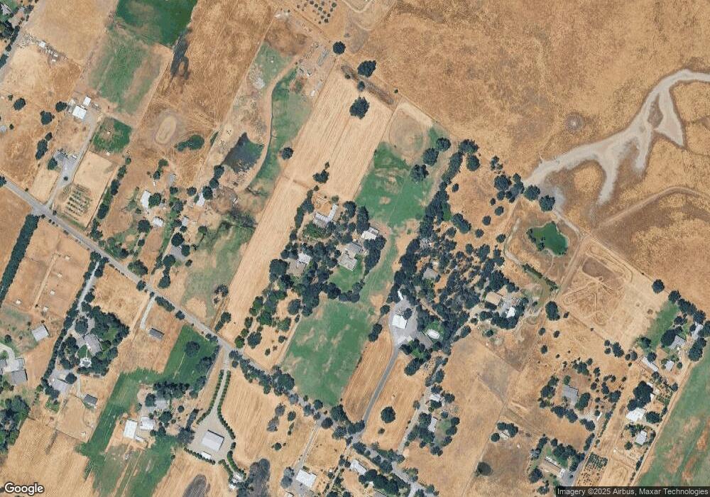
Map
Nearby Homes
- 8720 Tavernor Rd
- 13850 Meiss Rd
- 8960 Dillard Rd
- 9240 Stablegate Rd
- 12501 Lee School Cross Rd
- 0 Meiss Rd Unit 225019506
- 13751 Indio Dr
- 0 Sloughhouse Rd Unit 25550054
- 6950 Bisbee Dr
- 14430 Haycock St
- 9777 Tavernor Rd
- 0 Kiwi Ln
- 0 Grant Line Rd
- 14708 Hernandez Square
- 7354 Bella Union Ct
- 0 Alta Mesa Rd Unit 224117427
- 14563 Poncho Conde Cir
- 14559 Poncho Conde Cir
- 14789 Jurata Ct
- 14764 Cardoza Ct
Your Personal Tour Guide
Ask me questions while you tour the home.