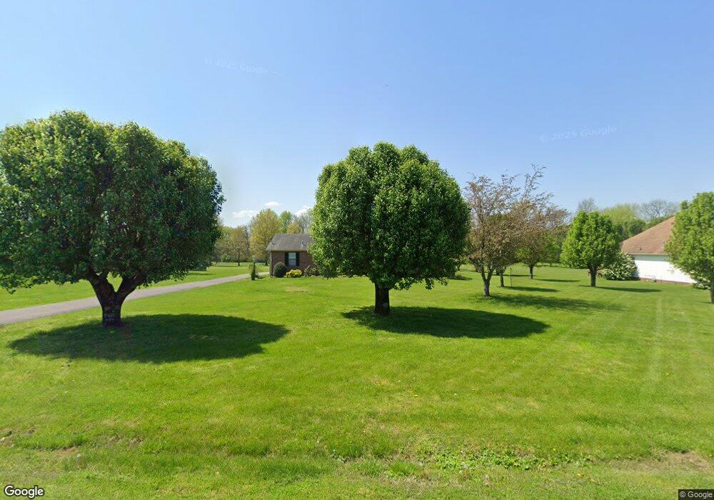
1315 Branch Creek Rd Gallatin, TN 37066
Estimated Value: $358,357 - $412,000
--
Bed
2
Baths
1,701
Sq Ft
$224/Sq Ft
Est. Value
About This Home
This home is located at 1315 Branch Creek Rd, Gallatin, TN 37066 and is currently estimated at $381,839, approximately $224 per square foot. 1315 Branch Creek Rd is a home located in Sumner County with nearby schools including Howard Elementary School, Rucker Stewart Middle School, and Station Camp High School.
Ownership History
Date
Name
Owned For
Owner Type
Purchase Details
Closed on
Jun 27, 2008
Sold by
Green Jeremy D and Green Kristi
Bought by
Mays Kerry L
Current Estimated Value
Purchase Details
Closed on
Jul 28, 2003
Sold by
Mcmurry Jamie Ray and Mcmurray Jennifer Jones
Bought by
Green Jeremy D and Wooten Kristi
Purchase Details
Closed on
Nov 30, 1998
Sold by
Moss Jerry A and Moss Karen D
Bought by
Mcmurray Jamie Ray
Home Financials for this Owner
Home Financials are based on the most recent Mortgage that was taken out on this home.
Original Mortgage
$108,039
Interest Rate
6.77%
Mortgage Type
FHA
Purchase Details
Closed on
Jan 5, 1996
Sold by
Coppock Shaun D
Bought by
Moss Jerry A and Moss Karen D
Purchase Details
Closed on
Aug 12, 1994
Sold by
Leifheit Mark D
Bought by
Coppock Shaun D
Create a Home Valuation Report for This Property
The Home Valuation Report is an in-depth analysis detailing your home's value as well as a comparison with similar homes in the area
Home Values in the Area
Average Home Value in this Area
Purchase History
| Date | Buyer | Sale Price | Title Company |
|---|---|---|---|
| Mays Kerry L | $160,000 | Title Escrow Of Robertson Co | |
| Green Jeremy D | $127,500 | -- | |
| Mcmurray Jamie Ray | $108,500 | -- | |
| Moss Jerry A | $99,000 | -- | |
| Moss Jerry A | $99,080 | -- | |
| Coppock Shaun D | -- | -- |
Source: Public Records
Mortgage History
| Date | Status | Borrower | Loan Amount |
|---|---|---|---|
| Previous Owner | Mcmurray Jamie Ray | $108,039 |
Source: Public Records
Tax History Compared to Growth
Tax History
| Year | Tax Paid | Tax Assessment Tax Assessment Total Assessment is a certain percentage of the fair market value that is determined by local assessors to be the total taxable value of land and additions on the property. | Land | Improvement |
|---|---|---|---|---|
| 2024 | $1,210 | $85,125 | $21,250 | $63,875 |
| 2023 | $1,633 | $53,500 | $15,850 | $37,650 |
| 2022 | $1,638 | $53,500 | $15,850 | $37,650 |
| 2021 | $1,638 | $53,500 | $15,850 | $37,650 |
| 2020 | $1,512 | $53,500 | $15,850 | $37,650 |
| 2019 | $1,512 | $0 | $0 | $0 |
| 2018 | $1,219 | $0 | $0 | $0 |
| 2017 | $1,219 | $0 | $0 | $0 |
| 2016 | $873 | $0 | $0 | $0 |
| 2015 | $1,219 | $0 | $0 | $0 |
| 2014 | $1,046 | $0 | $0 | $0 |
Source: Public Records
Map
Nearby Homes
- 415 Buckingham Blvd
- 376 Huntington Dr
- 420 Dorchester Place
- 608 Bradford Dr
- 156 Hackney Ln
- 3023 Duvall Dr
- 806 Warrington Ct
- 638 Wassil Dr
- 294 Buckingham Blvd
- 540 Bradford Dr
- 1036 Middleton Ln
- 559 Becks Place
- 1239 Wentworth Dr
- 1273 Wentworth Dr
- 292 Grassy Glen Dr
- 281 Grassy Glen Dr
- 653 Weathervane Dr
- 149 Putter Point Dr
- 1245 Amherst Ct
- 177 Hedgeway Ct
- 1327 Branch Creek Rd
- 1295 Branch Creek Rd
- 1339 Branch Creek Rd
- 1269 Branch Creek Rd
- 1318 Branch Creek Rd
- 1304 Branch Creek Rd
- 1330 Branch Creek Rd
- 1351 Branch Creek Rd
- 1292 Branch Creek Rd
- 1251 Branch Creek Rd
- 1346 Branch Creek Rd
- 1278 Branch Creek Rd
- 1284 Branch Creek Rd
- 1260 Branch Creek Rd
- 1355 Branch Creek Rd
- 1192 Wembley Ct
- 1188 Wembley Ct
- 1362 Branch Creek Rd
- 1196 Wembley Ct
- 1184 Wembley Ct