1315 Pryor Creek Rd Huntley, MT 59037
Estimated Value: $528,000 - $820,187
5
Beds
4
Baths
1,806
Sq Ft
$377/Sq Ft
Est. Value
About This Home
This home is located at 1315 Pryor Creek Rd, Huntley, MT 59037 and is currently estimated at $681,729, approximately $377 per square foot. 1315 Pryor Creek Rd is a home with nearby schools including Huntley Project Elementary School, Huntley Project Junior High School, and Huntley Project High School.
Ownership History
Date
Name
Owned For
Owner Type
Purchase Details
Closed on
Oct 30, 2021
Sold by
Siewert Dan W
Bought by
Swant Tyler F and Swant Rikki L
Current Estimated Value
Home Financials for this Owner
Home Financials are based on the most recent Mortgage that was taken out on this home.
Original Mortgage
$111,000
Outstanding Balance
$72,074
Interest Rate
2.8%
Mortgage Type
New Conventional
Estimated Equity
$609,655
Purchase Details
Closed on
Oct 22, 2009
Sold by
Siewert Bennie E
Bought by
Siewert Dan W
Create a Home Valuation Report for This Property
The Home Valuation Report is an in-depth analysis detailing your home's value as well as a comparison with similar homes in the area
Home Values in the Area
Average Home Value in this Area
Purchase History
| Date | Buyer | Sale Price | Title Company |
|---|---|---|---|
| Swant Tyler F | -- | Stewart Title | |
| Siewert Dan W | -- | None Available |
Source: Public Records
Mortgage History
| Date | Status | Borrower | Loan Amount |
|---|---|---|---|
| Open | Swant Tyler F | $111,000 |
Source: Public Records
Tax History Compared to Growth
Tax History
| Year | Tax Paid | Tax Assessment Tax Assessment Total Assessment is a certain percentage of the fair market value that is determined by local assessors to be the total taxable value of land and additions on the property. | Land | Improvement |
|---|---|---|---|---|
| 2025 | $3,527 | $848,100 | $171,560 | $676,540 |
| 2024 | $3,527 | $614,300 | $126,694 | $487,606 |
| 2023 | $847 | $126,694 | $126,694 | $0 |
| 2022 | $658 | $86,928 | $0 | $0 |
| 2021 | $659 | $86,928 | $0 | $0 |
| 2020 | $771 | $100,026 | $0 | $0 |
| 2019 | $750 | $100,026 | $0 | $0 |
| 2018 | $750 | $93,802 | $0 | $0 |
| 2017 | $667 | $93,802 | $0 | $0 |
| 2016 | $838 | $117,738 | $0 | $0 |
| 2015 | $905 | $117,738 | $0 | $0 |
| 2014 | $754 | $52,048 | $0 | $0 |
Source: Public Records
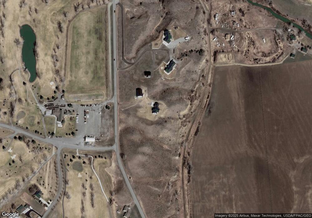
Map
Nearby Homes
- 1251 Chipper Ln
- 1246 Chipper Ln
- 0000 Florian Ave
- 1191 Chipper Ln
- 6815 Yellowstone Trail
- 6824 Earl Ave
- 3631 Lynette Ln
- 109 Peritse Ave
- 119 Peritse Ave
- 0 Perth Unit 354449
- 1635 Grape St
- 581 Squaw Creek Rd
- 5840,5850,5904 Lunder Ln
- 5400 Blue Horizon Dr
- 4820 McGirl Rd
- 4627 Brookhaven Place
- 5510 Powmer Rd
- 6614 Shepherd Rd
- 6249 Dawson Dr
- 4935 Lewies Way
- 1276 Pryor Creek Rd
- 7048 Pryor Ridge Trail
- 7049 Pryor Ridge Trail
- 1253 Rip Rap Rd
- 1256 Pryor Creek Rd
- 1282 Chipper Ln
- 1325 Rip Rap Rd
- NHN Rip Rap Rd
- 1274 Chipper Ln
- 1269 Chipper Ln
- 1266 Chipper Ln
- 6747 S 12th St
- 1260 Chipper Ln
- 1231 Pryor Creek Rd
- 1327 Rip Rap Rd
- 1313 Florian Ave
- 1309 Florian Ave
- 1305 Florian Ave
- 1248 Chipper Ln
- 6740 S 12th St