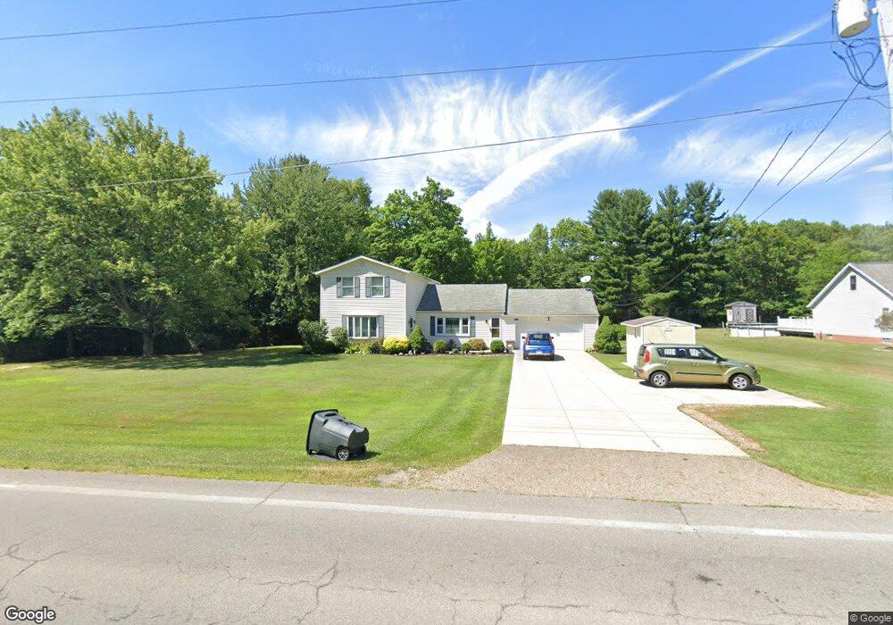
13151 Edison St NE Alliance, OH 44601
Estimated Value: $260,000 - $481,000
5
Beds
2
Baths
2,525
Sq Ft
$142/Sq Ft
Est. Value
About This Home
This home is located at 13151 Edison St NE, Alliance, OH 44601 and is currently estimated at $358,615, approximately $142 per square foot. 13151 Edison St NE is a home located in Stark County with nearby schools including Marlington High School and Regina Coeli/St Joseph School.
Ownership History
Date
Name
Owned For
Owner Type
Purchase Details
Closed on
Aug 17, 2005
Sold by
Morian Timothy R and Morian Jackie L
Bought by
Morian Timothy R and Morian Jackie L
Current Estimated Value
Purchase Details
Closed on
Dec 13, 1999
Sold by
Heitsman William C and Heitsman John H
Bought by
Morian Timothy R and Morian Jackie L
Home Financials for this Owner
Home Financials are based on the most recent Mortgage that was taken out on this home.
Original Mortgage
$75,000
Outstanding Balance
$22,841
Interest Rate
7.5%
Estimated Equity
$335,774
Purchase Details
Closed on
Jun 24, 1993
Create a Home Valuation Report for This Property
The Home Valuation Report is an in-depth analysis detailing your home's value as well as a comparison with similar homes in the area
Home Values in the Area
Average Home Value in this Area
Purchase History
| Date | Buyer | Sale Price | Title Company |
|---|---|---|---|
| Morian Timothy R | -- | -- | |
| Morian Timothy R | $85,000 | Union Title Company | |
| -- | -- | -- |
Source: Public Records
Mortgage History
| Date | Status | Borrower | Loan Amount |
|---|---|---|---|
| Open | Morian Timothy R | $75,000 |
Source: Public Records
Tax History Compared to Growth
Tax History
| Year | Tax Paid | Tax Assessment Tax Assessment Total Assessment is a certain percentage of the fair market value that is determined by local assessors to be the total taxable value of land and additions on the property. | Land | Improvement |
|---|---|---|---|---|
| 2025 | -- | $59,430 | $12,460 | $46,970 |
| 2024 | -- | $59,430 | $12,460 | $46,970 |
| 2023 | $2,210 | $62,730 | $11,380 | $51,350 |
| 2022 | $2,218 | $62,730 | $11,380 | $51,350 |
| 2021 | $2,225 | $62,730 | $11,380 | $51,350 |
| 2020 | $2,201 | $55,310 | $9,840 | $45,470 |
| 2019 | $2,186 | $55,310 | $9,840 | $45,470 |
| 2018 | $2,189 | $55,310 | $9,840 | $45,470 |
| 2017 | $2,275 | $53,800 | $5,180 | $48,620 |
| 2016 | $2,275 | $53,800 | $5,180 | $48,620 |
| 2015 | $2,153 | $53,480 | $5,320 | $48,160 |
| 2014 | $34 | $46,140 | $4,590 | $41,550 |
| 2013 | $1,012 | $46,140 | $4,590 | $41,550 |
Source: Public Records
Map
Nearby Homes
- 13109 Edison St NE
- 11940 Freshley Ave NE
- 11480 Aebi Ave NE
- 12355 Edison St NE
- 12415 Snode St NE
- 12252 Snode St NE
- 0 Meadow St NE
- 13334 Cindy St NE
- 14422 Sturbridge Rd NE
- 0 Klinger Ave NE
- 0 Johnson Ave NE Unit 5142926
- 10666 Wilma Ave NE
- 13061 Beeson St NE
- 0 Homestead Ave NE
- 13975 Greenbower St NE
- 14723 Bolton St NE
- 000 Klinger Ave
- 0 Meadowbrook Ave
- 000 Meadowbrook Ave
- 432 Johnson Ave
- 13181 Edison St NE
- 13203 Edison St NE
- 13104 Edison St NE
- 13077 Edison St NE
- 13204 Edison St NE
- 13050 Edison St NE
- 13032 Edison St NE
- 13282 Edison St NE
- 13023 Edison St NE
- 13004 Edison St NE
- 12121 Atwater Ave NE
- 9999 Atwater Ave NE
- 12991 Edison St NE
- 12980 Edison St NE
- 12971 Edison St NE
- 13344 Edison St NE
- 12951 Edison St NE
- 12966 Edison St NE
- 12931 Edison St NE
- 12930 Edison St NE