13159 166th St Linwood, KS 66052
Estimated Value: $237,646 - $477,000
3
Beds
1
Bath
960
Sq Ft
$344/Sq Ft
Est. Value
About This Home
This home is located at 13159 166th St, Linwood, KS 66052 and is currently estimated at $330,662, approximately $344 per square foot. 13159 166th St is a home located in Leavenworth County with nearby schools including Linwood Elementary School, Basehor-Linwood Middle School, and Basehor-Linwood High School.
Ownership History
Date
Name
Owned For
Owner Type
Purchase Details
Closed on
Mar 1, 1989
Bought by
Peterson Judith C W
Current Estimated Value
Home Financials for this Owner
Home Financials are based on the most recent Mortgage that was taken out on this home.
Original Mortgage
$79,500
Outstanding Balance
$69,055
Interest Rate
10.78%
Mortgage Type
New Conventional
Estimated Equity
$261,607
Create a Home Valuation Report for This Property
The Home Valuation Report is an in-depth analysis detailing your home's value as well as a comparison with similar homes in the area
Home Values in the Area
Average Home Value in this Area
Purchase History
| Date | Buyer | Sale Price | Title Company |
|---|---|---|---|
| Peterson Judith C W | $56,000 | -- |
Source: Public Records
Mortgage History
| Date | Status | Borrower | Loan Amount |
|---|---|---|---|
| Open | Peterson Judith C W | $79,500 | |
| Closed | Peterson Judith C W | $15,000 |
Source: Public Records
Tax History Compared to Growth
Tax History
| Year | Tax Paid | Tax Assessment Tax Assessment Total Assessment is a certain percentage of the fair market value that is determined by local assessors to be the total taxable value of land and additions on the property. | Land | Improvement |
|---|---|---|---|---|
| 2025 | $2,573 | $23,506 | $12,319 | $11,187 |
| 2024 | $2,388 | $23,506 | $11,368 | $12,138 |
| 2023 | $2,388 | $22,659 | $10,793 | $11,866 |
| 2022 | $2,222 | $20,222 | $9,675 | $10,547 |
| 2021 | $1,924 | $17,439 | $8,003 | $9,436 |
| 2020 | $1,878 | $16,652 | $7,482 | $9,170 |
| 2019 | $1,890 | $16,652 | $6,907 | $9,745 |
| 2018 | $1,837 | $16,181 | $5,757 | $10,424 |
| 2017 | $1,840 | $16,181 | $5,757 | $10,424 |
| 2016 | $1,791 | $15,709 | $5,652 | $10,057 |
| 2015 | $1,701 | $14,984 | $5,245 | $9,739 |
| 2014 | $1,696 | $14,984 | $5,245 | $9,739 |
Source: Public Records
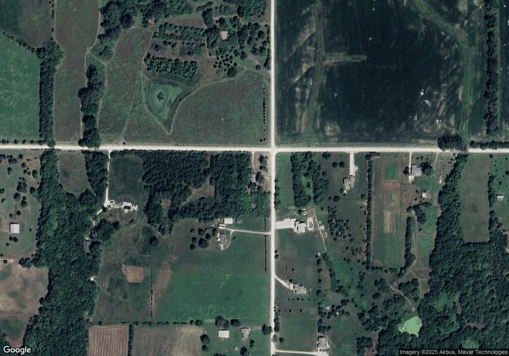
Map
Nearby Homes
- 13525 N 158th St
- 0 174th St
- 15514 Loring Rd
- 0 Cantrell & 174th St
- 17580 Cantrell Rd
- 14425 158th St
- 14587 166th St
- Parcel 5A SE Stanley Rd
- Parcel 3A SE Stanley Rd
- Parcel 4A SE Stanley Rd
- 14714 174th St
- 6.20 Acres 182nd St
- 13348 185th St
- 18261 Linwood Rd
- 13519 185th St
- 8220 Wyandotte St
- 18494 Linwood Rd
- 00000 Lot 3 South Stillwell Rd
- 00000 Lot 4 South Stillwell Rd
- 00000 Lot 2 South Stillwell Rd
- 13088 166th St
- 13085 166th St
- 13048 166th St
- 16519 Loring Rd
- 13259 166th St
- 13108 166th St
- 13068 166th St
- 13025 166th St
- 16459 Loring Rd
- 13012 166th St
- 16741 Loring Rd
- 12989 166th St
- 13361 166th St
- 12933 166th St
- 13028 166th St
- 16361 Loring Rd
- 16885 Loring Rd
- 12893 166th St
- 16524 Woods Rd
- 13060 170th St