13159 Highway 127 N Crossville, TN 38571
Estimated Value: $275,000 - $690,000
3
Beds
2
Baths
1,000
Sq Ft
$406/Sq Ft
Est. Value
About This Home
This home is located at 13159 Highway 127 N, Crossville, TN 38571 and is currently estimated at $405,688, approximately $405 per square foot. 13159 Highway 127 N is a home located in Cumberland County with nearby schools including North Cumberland Elementary School and Stone Memorial High School.
Ownership History
Date
Name
Owned For
Owner Type
Purchase Details
Closed on
Nov 25, 1997
Sold by
Visscher Ralph
Bought by
Jackson David
Current Estimated Value
Home Financials for this Owner
Home Financials are based on the most recent Mortgage that was taken out on this home.
Original Mortgage
$74,853
Interest Rate
7.38%
Purchase Details
Closed on
May 2, 1990
Bought by
Visscher Ralph and Visscher Virginia
Create a Home Valuation Report for This Property
The Home Valuation Report is an in-depth analysis detailing your home's value as well as a comparison with similar homes in the area
Home Values in the Area
Average Home Value in this Area
Purchase History
| Date | Buyer | Sale Price | Title Company |
|---|---|---|---|
| Jackson David | $99,900 | -- | |
| Visscher Ralph | $25,000 | -- |
Source: Public Records
Mortgage History
| Date | Status | Borrower | Loan Amount |
|---|---|---|---|
| Closed | Visscher Ralph | $74,853 |
Source: Public Records
Tax History Compared to Growth
Tax History
| Year | Tax Paid | Tax Assessment Tax Assessment Total Assessment is a certain percentage of the fair market value that is determined by local assessors to be the total taxable value of land and additions on the property. | Land | Improvement |
|---|---|---|---|---|
| 2025 | $472 | $41,575 | $24,350 | $17,225 |
| 2024 | $472 | $41,575 | $24,350 | $17,225 |
| 2023 | $472 | $41,575 | $0 | $0 |
| 2022 | $472 | $41,575 | $24,350 | $17,225 |
| 2021 | $424 | $27,075 | $17,250 | $9,825 |
| 2020 | $424 | $27,075 | $17,250 | $9,825 |
| 2019 | $424 | $27,075 | $17,250 | $9,825 |
| 2018 | $424 | $27,075 | $17,250 | $9,825 |
| 2017 | $415 | $27,075 | $17,250 | $9,825 |
| 2016 | $603 | $39,500 | $21,100 | $18,400 |
| 2015 | $592 | $39,500 | $21,100 | $18,400 |
| 2014 | $591 | $39,496 | $0 | $0 |
Source: Public Records
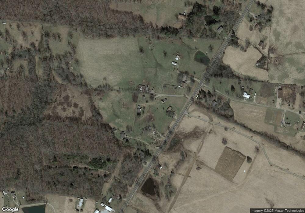
Map
Nearby Homes
- 145 Windswept Dr
- 0 Ashmor Dr
- 140 Colby Cir
- 257 Colby Cir
- 850 Colby Cir
- 815 Colby Cir
- 307 Colby Cir
- 60 Greenview Ln
- 279 Catoosa Ridge Dr
- 0 Hollow Lane - 35 Acres
- 410 Old Elmore Rd
- 21 Bluff View Loop
- 127 Bluff View Loop
- 1052 Catoosa Ridge Dr
- 0 Hwy 127 N Unit RTC2636228
- 405 Smith Rd
- 549 Smith Rd
- 401 Smith Rd
- 555 Smith Rd
- 0 Hollow Ln
- 0 Beasley Ln
- 71 Beasley Ln
- 13113 Highway 127 N
- 13202 Highway 127 N
- 13057 Highway 127 N
- 13091 Highway 127 N
- 10350 N 127 Hwy
- 10350 Hwy 127 N
- 10350 127
- 99 Buck Ln
- 13050 Highway 127 N
- 77 Buck Ln
- 13345 Highway 127 N
- 13399 Highway 127 N
- 12933 Highway 127 N
- 13412 Highway 127 N
- 12917 Highway 127 N
- 205 Buck Ln
- 13497 Highway 127 N
- 0 Hwy 127north Beasley Unit 748152