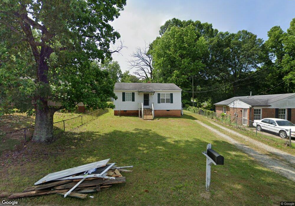
1316 Boundary Ave High Point, NC 27260
Downtown High Point NeighborhoodEstimated Value: $107,000 - $156,000
2
Beds
1
Bath
750
Sq Ft
$173/Sq Ft
Est. Value
About This Home
This home is located at 1316 Boundary Ave, High Point, NC 27260 and is currently estimated at $129,738, approximately $172 per square foot. 1316 Boundary Ave is a home located in Guilford County with nearby schools including Kirkman Park Elementary School, Penn-Griffin School for the Arts, and T.W. Andrews High School.
Ownership History
Date
Name
Owned For
Owner Type
Purchase Details
Closed on
Feb 6, 2026
Sold by
Stewart Darrell and Regua Ester
Bought by
Stewart Darrell
Current Estimated Value
Purchase Details
Closed on
Feb 16, 2007
Sold by
Branch Banking & Trust Co
Bought by
Stewart Darrell and Regua Ester
Purchase Details
Closed on
Apr 4, 2006
Sold by
Wallace Cathy G and Wallace Herman Lee
Bought by
Branch Banking & Trust Co
Purchase Details
Closed on
Dec 10, 1999
Sold by
Edwards Trenton
Bought by
Wynn Sharon
Home Financials for this Owner
Home Financials are based on the most recent Mortgage that was taken out on this home.
Original Mortgage
$34,400
Interest Rate
7.87%
Create a Home Valuation Report for This Property
The Home Valuation Report is an in-depth analysis detailing your home's value as well as a comparison with similar homes in the area
Home Values in the Area
Average Home Value in this Area
Purchase History
| Date | Buyer | Sale Price | Title Company |
|---|---|---|---|
| Stewart Darrell | -- | None Listed On Document | |
| Stewart Darrell | $25,000 | None Available | |
| Branch Banking & Trust Co | $35,000 | None Available | |
| Wynn Sharon | $27,000 | -- |
Source: Public Records
Mortgage History
| Date | Status | Borrower | Loan Amount |
|---|---|---|---|
| Previous Owner | Wynn Sharon | $34,400 | |
| Closed | Wynn Sharon | $4,300 |
Source: Public Records
Tax History
| Year | Tax Paid | Tax Assessment Tax Assessment Total Assessment is a certain percentage of the fair market value that is determined by local assessors to be the total taxable value of land and additions on the property. | Land | Improvement |
|---|---|---|---|---|
| 2025 | $623 | $45,200 | $10,000 | $35,200 |
| 2024 | $623 | $45,200 | $10,000 | $35,200 |
| 2023 | $623 | $45,200 | $10,000 | $35,200 |
| 2022 | $609 | $45,200 | $10,000 | $35,200 |
| 2021 | $564 | $40,900 | $10,000 | $30,900 |
| 2020 | $564 | $40,900 | $10,000 | $30,900 |
| 2019 | $564 | $40,900 | $0 | $0 |
| 2018 | $561 | $40,900 | $0 | $0 |
| 2017 | $564 | $40,900 | $0 | $0 |
| 2016 | $649 | $46,300 | $0 | $0 |
| 2015 | $653 | $46,300 | $0 | $0 |
| 2014 | $664 | $46,300 | $0 | $0 |
Source: Public Records
Map
Nearby Homes
- 1308 Boundary Ave
- 1528 Graves Ave
- 1012 Meadowbrook Blvd
- 1508 Boundary Ave
- 1602 Boundary Ave
- 1604 Boundary Ave
- 1606 Boundary Ave
- 504 Ellwood Dr
- 208 Underhill St
- 828 Circle Dr
- 1506 East Ave
- 1504 East Ave
- 844 Willow Place
- 1304 West Ave
- 837 Willow Place
- 114 Eccles Place
- 1108 Dartmouth Ave
- 205 Beach St
- 1224 S Downing St
- 410 Meredith St
- 1314 Boundary Ave
- 1318 Boundary Ave
- 1312 Boundary Ave
- 1320 Boundary Ave
- 1517 Graves Ave
- 1513 Graves Ave
- 1310 Boundary Ave
- 1322 Boundary Ave
- 1511 Graves Ave
- 1313 Boundary Ave
- 1315 Boundary Ave
- 1521 Graves Ave
- 1324 Boundary Ave
- 1509 Graves Ave
- 1317 Boundary Ave
- 1523 Graves Ave
- 1507 Graves Ave
- 1319 Boundary Ave
- 1326 Boundary Ave
- 1525 Graves Ave
Your Personal Tour Guide
Ask me questions while you tour the home.