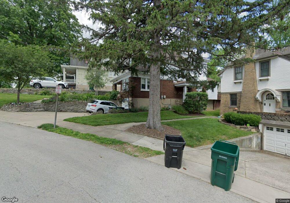
1316 Duncan Ave Cincinnati, OH 45208
Hyde Park NeighborhoodEstimated Value: $558,000 - $632,150
4
Beds
3
Baths
1,748
Sq Ft
$348/Sq Ft
Est. Value
About This Home
This home is located at 1316 Duncan Ave, Cincinnati, OH 45208 and is currently estimated at $607,538, approximately $347 per square foot. 1316 Duncan Ave is a home located in Hamilton County with nearby schools including Clark Montessori High School, Withrow University High School, and Shroder High School.
Ownership History
Date
Name
Owned For
Owner Type
Purchase Details
Closed on
Feb 2, 2004
Sold by
Jambor Michael T and Jambor Kristin L
Bought by
Jambor Michael T and Jambor Kristin L
Current Estimated Value
Purchase Details
Closed on
Sep 22, 2000
Sold by
Andrew Welch H and Andrew Elizabeth G
Bought by
Jambor Michael T and Jambor Kristin L
Home Financials for this Owner
Home Financials are based on the most recent Mortgage that was taken out on this home.
Original Mortgage
$190,400
Outstanding Balance
$68,853
Interest Rate
7.99%
Estimated Equity
$538,685
Create a Home Valuation Report for This Property
The Home Valuation Report is an in-depth analysis detailing your home's value as well as a comparison with similar homes in the area
Home Values in the Area
Average Home Value in this Area
Purchase History
| Date | Buyer | Sale Price | Title Company |
|---|---|---|---|
| Jambor Michael T | -- | -- | |
| Jambor Michael T | $238,000 | Classic Title Agency Inc |
Source: Public Records
Mortgage History
| Date | Status | Borrower | Loan Amount |
|---|---|---|---|
| Open | Jambor Michael T | $190,400 |
Source: Public Records
Tax History Compared to Growth
Tax History
| Year | Tax Paid | Tax Assessment Tax Assessment Total Assessment is a certain percentage of the fair market value that is determined by local assessors to be the total taxable value of land and additions on the property. | Land | Improvement |
|---|---|---|---|---|
| 2024 | $9,962 | $166,926 | $91,389 | $75,537 |
| 2023 | $10,187 | $166,926 | $91,389 | $75,537 |
| 2022 | $9,356 | $137,509 | $66,735 | $70,774 |
| 2021 | $9,006 | $137,509 | $66,735 | $70,774 |
| 2020 | $9,270 | $137,509 | $66,735 | $70,774 |
| 2019 | $8,737 | $118,542 | $57,530 | $61,012 |
| 2018 | $8,751 | $118,542 | $57,530 | $61,012 |
| 2017 | $8,313 | $118,542 | $57,530 | $61,012 |
| 2016 | $7,813 | $109,837 | $49,518 | $60,319 |
| 2015 | $7,043 | $109,837 | $49,518 | $60,319 |
| 2014 | $7,094 | $109,837 | $49,518 | $60,319 |
| 2013 | $6,622 | $100,769 | $45,430 | $55,339 |
Source: Public Records
Map
Nearby Homes
- 1318 Duncan Ave
- 1314 Duncan Ave
- 1320 Duncan Ave
- 1311 Paxton Ave
- 1309 Paxton Ave
- 1324 Duncan Ave
- 1313 Paxton Ave
- 1313 Paxton Ave Unit 1315
- 1313 Duncan Ave
- 1307 Paxton Ave
- 1310 Duncan Ave
- 1305 Paxton Ave
- 1303 Paxton Ave
- 1328 Duncan Ave
- 1315 Paxton Ave
- 1325 Paxton Ave
- 1311 Duncan Ave
- 1319 Duncan Ave
- 1308 Duncan Ave
- 1239 Paxton Ave