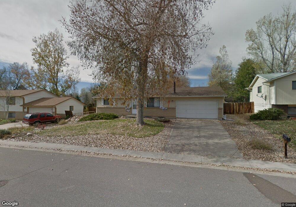
13163 Saturn Dr Lone Tree, CO 80124
Estimated Value: $530,778 - $534,000
3
Beds
2
Baths
1,764
Sq Ft
$302/Sq Ft
Est. Value
About This Home
This home is located at 13163 Saturn Dr, Lone Tree, CO 80124 and is currently estimated at $532,389, approximately $301 per square foot. 13163 Saturn Dr is a home located in Douglas County with nearby schools including Acres Green Elementary School, Cresthill Middle School, and Highlands Ranch High School.
Ownership History
Date
Name
Owned For
Owner Type
Purchase Details
Closed on
Feb 19, 2019
Sold by
Henson Jennipher
Bought by
Fariss Matthew Wayne
Current Estimated Value
Home Financials for this Owner
Home Financials are based on the most recent Mortgage that was taken out on this home.
Original Mortgage
$292,000
Outstanding Balance
$256,197
Interest Rate
4.4%
Mortgage Type
New Conventional
Estimated Equity
$276,192
Purchase Details
Closed on
Aug 10, 2012
Sold by
Delcavo Anthony J
Bought by
Henson Jennifer
Home Financials for this Owner
Home Financials are based on the most recent Mortgage that was taken out on this home.
Original Mortgage
$206,196
Interest Rate
3.87%
Mortgage Type
FHA
Purchase Details
Closed on
Sep 16, 1991
Sold by
London Steve Alan and London Cindra Ann
Bought by
Delcavo Anthony J
Purchase Details
Closed on
Jun 4, 1982
Sold by
Smith Michael S and Smith Leslie A
Bought by
London Steve Alan and London Cindra Ann
Create a Home Valuation Report for This Property
The Home Valuation Report is an in-depth analysis detailing your home's value as well as a comparison with similar homes in the area
Home Values in the Area
Average Home Value in this Area
Purchase History
| Date | Buyer | Sale Price | Title Company |
|---|---|---|---|
| Fariss Matthew Wayne | $365,000 | First American Title | |
| Henson Jennifer | $210,000 | North Amer Title Co Of Co | |
| Delcavo Anthony J | $73,500 | -- | |
| London Steve Alan | $66,000 | -- |
Source: Public Records
Mortgage History
| Date | Status | Borrower | Loan Amount |
|---|---|---|---|
| Open | Fariss Matthew Wayne | $292,000 | |
| Previous Owner | Henson Jennifer | $206,196 |
Source: Public Records
Tax History Compared to Growth
Tax History
| Year | Tax Paid | Tax Assessment Tax Assessment Total Assessment is a certain percentage of the fair market value that is determined by local assessors to be the total taxable value of land and additions on the property. | Land | Improvement |
|---|---|---|---|---|
| 2024 | $3,108 | $37,550 | $8,000 | $29,550 |
| 2023 | $3,140 | $37,550 | $8,000 | $29,550 |
| 2022 | $2,284 | $25,650 | $6,790 | $18,860 |
| 2021 | $2,376 | $25,650 | $6,790 | $18,860 |
| 2020 | $2,212 | $24,470 | $6,410 | $18,060 |
| 2019 | $2,219 | $24,470 | $6,410 | $18,060 |
| 2018 | $2,051 | $20,190 | $5,590 | $14,600 |
| 2017 | $2,129 | $20,190 | $5,590 | $14,600 |
| 2016 | $1,525 | $17,350 | $3,960 | $13,390 |
| 2015 | $1,559 | $17,350 | $3,960 | $13,390 |
| 2014 | $1,205 | $12,560 | $3,980 | $8,580 |
Source: Public Records
Map
Nearby Homes
- 13134 Deneb Dr
- 202 Helena Cir
- 250 Jupiter Dr
- 426 Jupiter Dr
- 7971 Arrowhead Ct
- 8159 Lodgepole Trail
- 181 Dianna Dr
- 8260 Lodgepole Trail
- 979 Mercury Cir
- 13483 Achilles Dr
- 130 Dianna Dr
- 8049 Sweet Water Rd
- 789 Hamal Dr
- 13542 Achilles Dr
- 336 Aquarius Ct
- 108 Olympus Cir
- 8754 Mesquite Row
- 8860 Kachina Way
- 9308 Miles Dr Unit 5
- 7804 Silverweed Way
- 13153 Saturn Dr
- 13173 Saturn Dr
- 13164 Saturn Dr
- 13143 Saturn Dr
- 456 Dione Place
- 13174 Saturn Dr
- 13154 Saturn Dr
- 435 Mimas Place
- 13194 Saturn Dr
- 13144 Saturn Dr
- 435 Dione Place
- 445 Dione Place
- 455 Mimas Place
- 466 Dione Place
- 13225 Saturn Dr
- 13193 Mercury Dr
- 455 Dione Place
- 406 Mimas Place
- 13134 Saturn Dr
- 13226 Saturn Dr