13164 Bluebird Ln Council Bluffs, IA 51503
Estimated Value: $587,000 - $791,243
3
Beds
3
Baths
2,125
Sq Ft
$324/Sq Ft
Est. Value
About This Home
This home is located at 13164 Bluebird Ln, Council Bluffs, IA 51503 and is currently estimated at $689,122, approximately $324 per square foot. 13164 Bluebird Ln is a home with nearby schools including E.A. Kreft Primary School, Titan Hill Intermediate School, and Lewis Central Middle School.
Ownership History
Date
Name
Owned For
Owner Type
Purchase Details
Closed on
Aug 15, 2019
Sold by
Hamilton Eric
Bought by
Glenn Justin L and Glenn Karissa R
Current Estimated Value
Home Financials for this Owner
Home Financials are based on the most recent Mortgage that was taken out on this home.
Original Mortgage
$450,000
Outstanding Balance
$393,261
Interest Rate
3.7%
Mortgage Type
New Conventional
Estimated Equity
$295,861
Create a Home Valuation Report for This Property
The Home Valuation Report is an in-depth analysis detailing your home's value as well as a comparison with similar homes in the area
Home Values in the Area
Average Home Value in this Area
Purchase History
| Date | Buyer | Sale Price | Title Company |
|---|---|---|---|
| Glenn Justin L | $675,000 | None Available |
Source: Public Records
Mortgage History
| Date | Status | Borrower | Loan Amount |
|---|---|---|---|
| Open | Glenn Justin L | $450,000 |
Source: Public Records
Tax History Compared to Growth
Tax History
| Year | Tax Paid | Tax Assessment Tax Assessment Total Assessment is a certain percentage of the fair market value that is determined by local assessors to be the total taxable value of land and additions on the property. | Land | Improvement |
|---|---|---|---|---|
| 2025 | $6,254 | $632,200 | $11,500 | $620,700 |
| 2024 | $6,254 | $547,000 | $9,000 | $538,000 |
| 2023 | $5,976 | $547,000 | $9,000 | $538,000 |
| 2022 | $6,104 | $479,700 | $6,500 | $473,200 |
| 2021 | $9,072 | $479,700 | $6,500 | $473,200 |
| 2020 | $5,700 | $437,500 | $6,500 | $431,000 |
| 2019 | $5,634 | $393,500 | $6,500 | $387,000 |
| 2018 | $5,502 | $380,150 | $10,100 | $370,050 |
| 2017 | $5,846 | $399,803 | $23,353 | $376,450 |
| 2015 | $5,792 | $399,803 | $23,353 | $376,450 |
| 2014 | $5,914 | $407,803 | $23,353 | $384,450 |
Source: Public Records
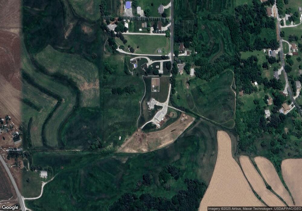
Map
Nearby Homes
- 21823 Chestnut Rd
- LOT 1 -2 Overland Trail
- 21253 Ashwood Ln
- 22231 Stoneybrook Dr
- 100 Highland Acres Loop
- 11749 Dumfries Ave
- 35.94 Ac M L 192nd St
- 15.74 AC Dumfries Ave
- 11059 Dumfries Ave
- 21337 Greenview Rd
- 109 Dorset Ave
- 23267 Highway 92
- 108 Essex Ave
- 184 Dayan Dr
- 14127 Wabash Ave
- 11723 192nd St
- 22080 Greenview Rd
- 14851 Highland Park Rd
- 20.57 AC. M L State Orchard Rd
- 218 Brent Ln
- 13165 Bluebird Ln
- 13174 Bluebird Ln
- 13183 Bluebird Ln
- 13238 Bluebird Ln
- 1455 Rolling Hills Loop
- 13222 Bluebird Ln
- 1525 Rolling Hills Loop
- 1489 Rolling Hills Loop
- 1559 Rolling Hills Loop
- LOT 14 I-29 I-80 Industrial Park
- 10.25 ACRE None
- LTS 1,2,3 Howards Addt Lts 1 2 & 3 Ex Ct
- 13274 Bluebird Ln
- 12985 Wabash Ave
- 13290 Bluebird Ln
- 1565 Rolling Hills Loop
- 1552 Rolling Hills Loop
- 1375 Rolling Hills Loop
- 1440 Rolling Hills Loop
- 13031 Wabash Ave