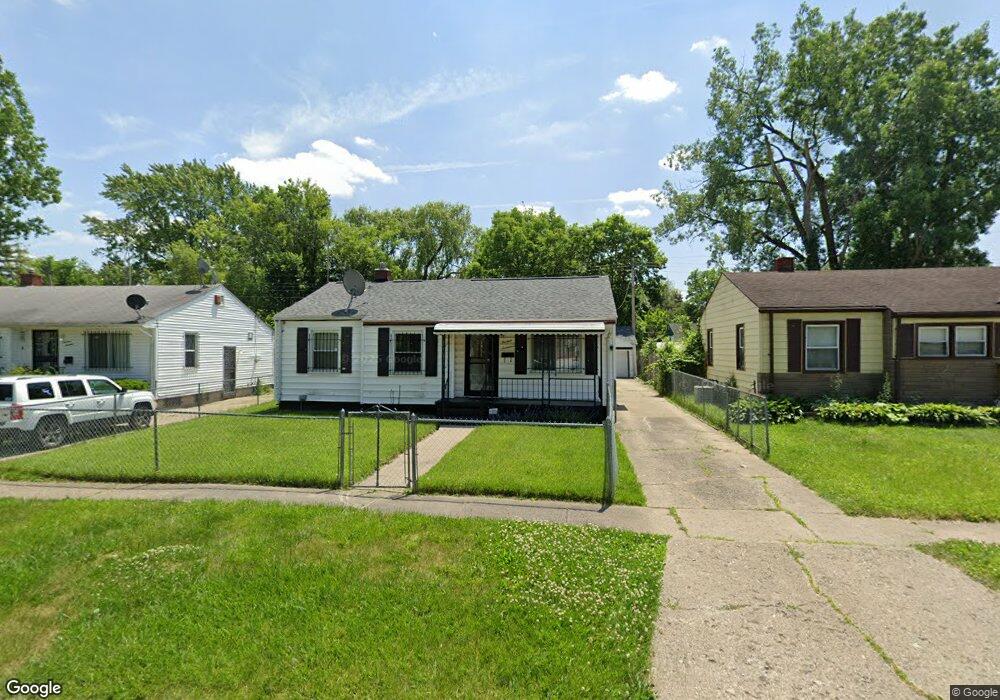
1317 Bent Dr Flint, MI 48504
Bel-Aire Woods NeighborhoodEstimated Value: $54,000 - $73,000
4
Beds
2
Baths
1,416
Sq Ft
$42/Sq Ft
Est. Value
About This Home
This home is located at 1317 Bent Dr, Flint, MI 48504 and is currently estimated at $60,131, approximately $42 per square foot. 1317 Bent Dr is a home located in Genesee County with nearby schools including Brownell STEM Academy, The New Standard Academy, and Eagle's Nest Academy.
Ownership History
Date
Name
Owned For
Owner Type
Purchase Details
Closed on
Jun 14, 2022
Sold by
Brilt James C
Bought by
Brilt Claine D
Current Estimated Value
Purchase Details
Closed on
Apr 12, 2004
Sold by
Washington Marion and Washington Jacqueline
Bought by
Britt James C
Home Financials for this Owner
Home Financials are based on the most recent Mortgage that was taken out on this home.
Original Mortgage
$68,955
Interest Rate
5.48%
Mortgage Type
FHA
Create a Home Valuation Report for This Property
The Home Valuation Report is an in-depth analysis detailing your home's value as well as a comparison with similar homes in the area
Home Values in the Area
Average Home Value in this Area
Purchase History
| Date | Buyer | Sale Price | Title Company |
|---|---|---|---|
| Brilt Claine D | -- | None Listed On Document | |
| Britt James C | $69,500 | Centennial Title Co |
Source: Public Records
Mortgage History
| Date | Status | Borrower | Loan Amount |
|---|---|---|---|
| Previous Owner | Britt James C | $68,955 |
Source: Public Records
Tax History
| Year | Tax Paid | Tax Assessment Tax Assessment Total Assessment is a certain percentage of the fair market value that is determined by local assessors to be the total taxable value of land and additions on the property. | Land | Improvement |
|---|---|---|---|---|
| 2025 | $999 | $22,600 | $0 | $0 |
| 2024 | $905 | $18,800 | $0 | $0 |
| 2023 | $888 | $15,200 | $0 | $0 |
| 2022 | $0 | $12,900 | $0 | $0 |
| 2021 | $924 | $13,300 | $0 | $0 |
| 2020 | $833 | $12,500 | $0 | $0 |
| 2019 | $811 | $12,800 | $0 | $0 |
| 2018 | $812 | $13,400 | $0 | $0 |
| 2017 | $789 | $0 | $0 | $0 |
| 2016 | $789 | $0 | $0 | $0 |
| 2015 | -- | $0 | $0 | $0 |
| 2014 | -- | $0 | $0 | $0 |
| 2012 | -- | $15,200 | $0 | $0 |
Source: Public Records
Map
Nearby Homes
- 4306 Berger Dr
- 4539 Trumbull Dr
- 1315 W Myrtle Ave
- 4702 Warrington Dr
- 3722 Sterling St
- 2013 Canniff St
- 5014 Miami Ln
- 4808 Edwards Ave
- 3802 Milbourne Ave
- 3808 Comstock Ave
- 606 W Stewart Ave
- 1909 Cherrylawn Dr
- 702/718 W Flint Park Blvd
- 4807 Birchcrest Dr
- 3517 Leerda St
- 3420 Fleming Rd
- 3505 Leerda St
- 5106 Cloverlawn Dr
- 3419 Leerda St
- 3413 Leerda St
- 1313 Bent Dr
- 1401 Bent Dr
- 1307 Bent Dr
- 1310 W Stewart Ave
- 1220 W Stewart Ave
- 1409 Bent Dr
- 1306 W Stewart Ave
- 1310 Bent Dr
- 1316 Bent Dr
- 1314 W Stewart Ave
- 1402 Bent Dr
- 1302 W Stewart Ave
- 4319 Berger Dr
- 1413 Bent Dr
- 1216 W Stewart Ave
- 1406 Bent Dr
- 1301 Bent Dr
- 1318 W Stewart Ave
- 4315 Berger Dr
- 1410 Bent Dr
Your Personal Tour Guide
Ask me questions while you tour the home.