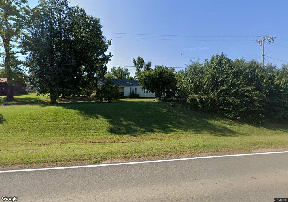
1317 Highway 9a Arkoma, OK 74901
Estimated Value: $91,000 - $120,000
2
Beds
1
Bath
1,330
Sq Ft
$76/Sq Ft
Est. Value
About This Home
This home is located at 1317 Highway 9a, Arkoma, OK 74901 and is currently estimated at $101,107, approximately $76 per square foot. 1317 Highway 9a is a home located in Le Flore County with nearby schools including Singleton Elementary School, Arkoma High School, and The Montessori School of Fort Smith.
Ownership History
Date
Name
Owned For
Owner Type
Purchase Details
Closed on
Nov 30, 2021
Sold by
Walden Cyal and Walden Jessica
Bought by
Farmer Blake and Farmer Brianna
Current Estimated Value
Purchase Details
Closed on
Mar 6, 2018
Sold by
Williams Gurney G and Williams Beverly R
Bought by
Farmer Robert and Farmer Brianna
Home Financials for this Owner
Home Financials are based on the most recent Mortgage that was taken out on this home.
Original Mortgage
$76,442
Interest Rate
4.04%
Mortgage Type
VA
Purchase Details
Closed on
Jul 25, 2008
Sold by
Smith Connie and Davis James
Bought by
Williams Gurney G and Williams Beverly R
Create a Home Valuation Report for This Property
The Home Valuation Report is an in-depth analysis detailing your home's value as well as a comparison with similar homes in the area
Home Values in the Area
Average Home Value in this Area
Purchase History
| Date | Buyer | Sale Price | Title Company |
|---|---|---|---|
| Farmer Blake | $500,000 | None Available | |
| Farmer Robert | $74,000 | Adams | |
| Williams Gurney G | $53,500 | -- |
Source: Public Records
Mortgage History
| Date | Status | Borrower | Loan Amount |
|---|---|---|---|
| Previous Owner | Farmer Robert | $76,442 |
Source: Public Records
Tax History Compared to Growth
Tax History
| Year | Tax Paid | Tax Assessment Tax Assessment Total Assessment is a certain percentage of the fair market value that is determined by local assessors to be the total taxable value of land and additions on the property. | Land | Improvement |
|---|---|---|---|---|
| 2025 | $457 | $7,080 | $1,403 | $5,677 |
| 2023 | $457 | $7,509 | $1,073 | $6,436 |
| 2022 | $505 | $7,509 | $1,073 | $6,436 |
| 2021 | $582 | $7,509 | $1,073 | $6,436 |
| 2020 | $591 | $7,624 | $1,073 | $6,551 |
| 2019 | $631 | $8,136 | $1,073 | $7,063 |
| 2018 | $538 | $6,938 | $669 | $6,269 |
| 2017 | $445 | $6,736 | $632 | $6,104 |
| 2016 | $430 | $6,540 | $605 | $5,935 |
| 2015 | $416 | $6,349 | $566 | $5,783 |
| 2014 | $403 | $6,164 | $536 | $5,628 |
Source: Public Records
Map
Nearby Homes
- 924 Chickasaw Ave
- TBD Yoakum Ave
- 745 Yoakum Ave
- 507 Seminole Ave
- 628 Bissell Ave
- TBD 350 Seminole Ave
- 1016 Reynolds St
- 404 Loy Ave
- 919 Knoxville St
- 705 Xavier St
- 3014 S 14th St
- 1500 Dallas St
- 1604 S Fresno St
- 4808 S 16th Terrace
- 1425 Phoenix Ave
- 1712 Memphis St
- 1404 S 11th St
- 1400 S 11th St
- 2825 S 18th St
- 1614 S Y St
- 1524 Cascade St
- 1548 Cascade St
- 1217 Oklahoma 9a
- 1713 Cook Ave
- 1520 Park St
- 1049 Cook Ave
- 1306 Westwood Blvd
- 1304 Westwood Blvd
- 1045 Cook Ave
- 1302 Westwood Blvd
- 1536 Park St
- 35 Westwood Dr
- 1208 Westwood Blvd
- 1029 Cook Ave
- 1206 Westwood Blvd
- 1025 Westwood Ct
- 1200 Westwood Blvd
- 1210 Westwood Blvd
- 1023 Westwood Ct
- 1005 Westwood Ct