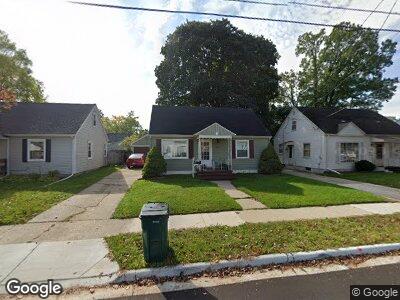
1317 Loraine Ave Lansing, MI 48910
Colonial Village NeighborhoodEstimated Value: $118,638 - $153,000
--
Bed
--
Bath
1,040
Sq Ft
$134/Sq Ft
Est. Value
About This Home
This home is located at 1317 Loraine Ave, Lansing, MI 48910 and is currently estimated at $138,910, approximately $133 per square foot. 1317 Loraine Ave is a home located in Ingham County with nearby schools including Averill New Tech Elementary School, Attwood School, and J.W. Sexton High School.
Ownership History
Date
Name
Owned For
Owner Type
Purchase Details
Closed on
Apr 12, 2006
Sold by
Olney Christine H and Olney James A
Bought by
Santos Margarita
Current Estimated Value
Home Financials for this Owner
Home Financials are based on the most recent Mortgage that was taken out on this home.
Original Mortgage
$106,720
Outstanding Balance
$65,479
Interest Rate
6.42%
Mortgage Type
FHA
Purchase Details
Closed on
Apr 28, 1998
Sold by
Nevarez Frank V and Nevarez Barbara J
Bought by
Olney James A and Olney Christine H
Create a Home Valuation Report for This Property
The Home Valuation Report is an in-depth analysis detailing your home's value as well as a comparison with similar homes in the area
Home Values in the Area
Average Home Value in this Area
Purchase History
| Date | Buyer | Sale Price | Title Company |
|---|---|---|---|
| Santos Margarita | $108,395 | None Available | |
| Olney James A | $69,900 | -- |
Source: Public Records
Mortgage History
| Date | Status | Borrower | Loan Amount |
|---|---|---|---|
| Open | Santos Margarita | $106,720 |
Source: Public Records
Tax History Compared to Growth
Tax History
| Year | Tax Paid | Tax Assessment Tax Assessment Total Assessment is a certain percentage of the fair market value that is determined by local assessors to be the total taxable value of land and additions on the property. | Land | Improvement |
|---|---|---|---|---|
| 2024 | $23 | $56,700 | $8,200 | $48,500 |
| 2023 | $2,712 | $51,900 | $8,200 | $43,700 |
| 2022 | $2,445 | $46,700 | $8,200 | $38,500 |
| 2021 | $2,395 | $43,600 | $7,900 | $35,700 |
| 2020 | $2,380 | $41,000 | $7,900 | $33,100 |
| 2019 | $2,281 | $38,600 | $7,900 | $30,700 |
| 2018 | $2,138 | $37,300 | $7,900 | $29,400 |
| 2017 | $2,047 | $37,300 | $7,900 | $29,400 |
| 2016 | $1,957 | $36,700 | $7,900 | $28,800 |
| 2015 | $1,957 | $35,600 | $15,787 | $19,813 |
| 2014 | $1,957 | $34,600 | $17,673 | $16,927 |
Source: Public Records
Map
Nearby Homes
- 1300 Kelsey Ave
- 1629 W Rundle Ave
- 1117 Woodbine Ave
- 1411 Poxson Ave
- 1001 Kelsey Ave
- 1124 Poxson Ave
- 900 Dunlap St
- 1029 Cooper Ave
- 916 Poxson Ave
- 2101 Stirling Ave
- 1506 W Mount Hope Ave
- 2516 Chatham Rd
- 1205 George St
- 2110 Beal Ave
- 2018 Cooper Ave
- 1732 Park Ave
- 1325 Berten St
- 820 W Mount Hope Ave
- 0 Rickle
- 1740 Wellington Rd Unit 207
- 1317 Loraine Ave
- 1323 Loraine Ave
- 1313 Loraine Ave
- 1401 Loraine Ave
- 1318 W Rundle Ave
- 1322 W Rundle Ave
- 1312 W Rundle Ave
- 2606 Marion Ave
- 2600 Marion Ave
- 2610 Marion Ave
- 1400 W Rundle Ave
- 1405 Loraine Ave
- 1318 Loraine Ave
- 1314 Loraine Ave
- 2614 Marion Ave
- 1322 Loraine Ave
- 2518 Marion Ave
- 1406 W Rundle Ave
- 1400 Loraine Ave
- 2618 Marion Ave