Estimated Value: $98,000 - $1,089,312
--
Bed
--
Bath
--
Sq Ft
4.49
Acres
About This Home
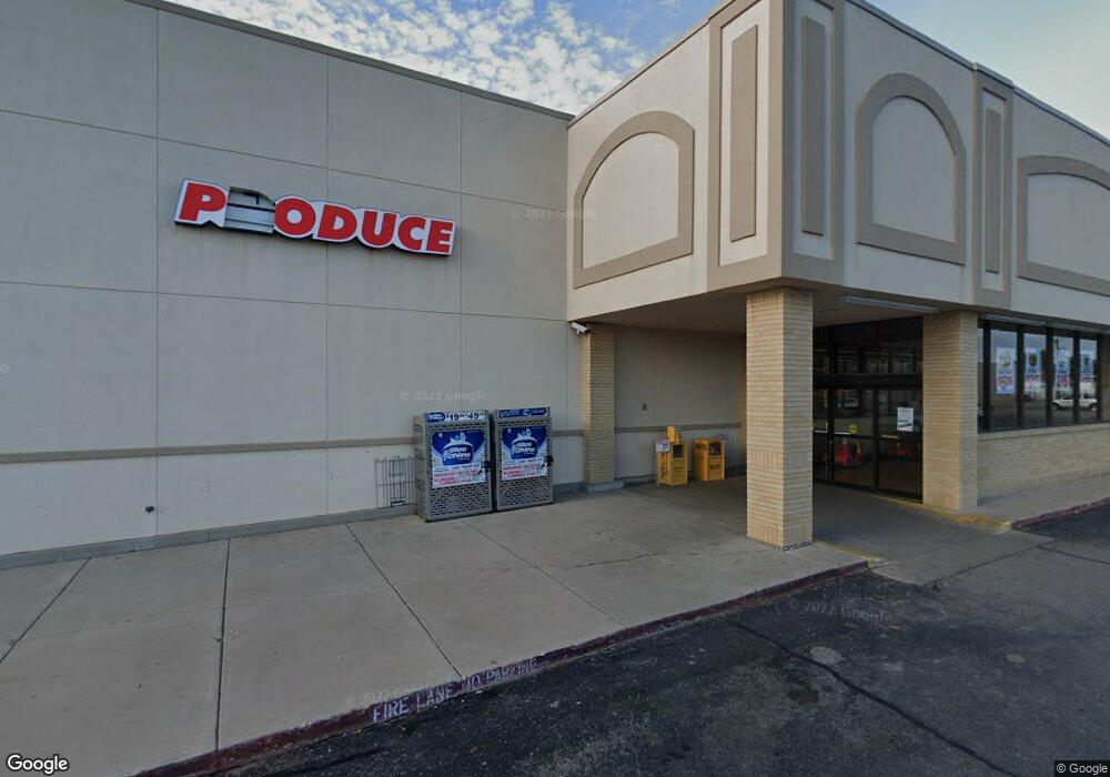
This home is located at 1317 N Turner St, Hobbs, NM 88240 and is currently estimated at $593,656. 1317 N Turner St is a home with nearby schools including Broadmoor Elementary School, Houston Middle School, and Hobbs Freshman High School.
Ownership History
Date
Name
Owned For
Owner Type
Purchase Details
Closed on
Dec 19, 2024
Sold by
Cool Max W
Bought by
Atlantic Oil Producing Company
Current Estimated Value
Purchase Details
Closed on
Apr 25, 2024
Sold by
Dale & Florene Carter Revocable Trust and Florene Carter Estate Trust
Bought by
Dt & T Real Estate Lp
Purchase Details
Closed on
Apr 23, 2021
Sold by
Carter Dale and Estate Of Florene Carter
Bought by
Carter Dale and Carter Dale
Create a Home Valuation Report for This Property
The Home Valuation Report is an in-depth analysis detailing your home's value as well as a comparison with similar homes in the area
Home Values in the Area
Average Home Value in this Area
Purchase History
| Date | Buyer | Sale Price | Title Company |
|---|---|---|---|
| Atlantic Oil Producing Company | -- | None Listed On Document | |
| Dt & T Real Estate Lp | -- | None Listed On Document | |
| Carter Dale | -- | None Available |
Source: Public Records
Tax History Compared to Growth
Tax History
| Year | Tax Paid | Tax Assessment Tax Assessment Total Assessment is a certain percentage of the fair market value that is determined by local assessors to be the total taxable value of land and additions on the property. | Land | Improvement |
|---|---|---|---|---|
| 2024 | $18,741 | $543,132 | $82,086 | $461,046 |
| 2023 | $16,870 | $488,869 | $79,695 | $409,174 |
| 2022 | $16,189 | $488,869 | $79,695 | $409,174 |
| 2021 | $16,119 | $472,376 | $75,120 | $397,256 |
| 2020 | $15,764 | $470,188 | $72,932 | $397,256 |
| 2019 | $15,091 | $456,493 | $70,808 | $385,685 |
| 2018 | $14,493 | $440,087 | $68,746 | $371,341 |
| 2017 | $14,882 | $1,281,807 | $200,232 | $1,081,575 |
| 2016 | $15,252 | $1,275,975 | $194,400 | $1,081,575 |
| 2015 | $14,034 | $1,275,975 | $194,400 | $1,081,575 |
| 2014 | -- | $1,275,975 | $194,400 | $1,081,575 |
Source: Public Records
Map
Nearby Homes
- 309 W Berry Dr
- TBD N Thorp St
- 114 W Park St
- 606 E Yucca Dr
- 200 W Rojo Dr
- 1112 N Coleman St
- 515 E Clinton St
- 418 E Abo Dr
- 500 E Abo Dr
- 1924 N Vega Dr
- 1204 W Mackenzie Dr
- 612 E Abo Dr
- 1619 Bucknell Ct
- 827 Pinon Dr
- 1307 W Princess Jeanne Dr
- 2107 N Acoma Dr
- 210 W Dunnam St
- 530 E Jemez St
- 1126 N Gulf St
- 2123 N Mckinley St
- 1301 N Turner St
- 00 E Sanger St
- 205 W Sanger St
- 1106 N Thorp St
- 1108 N Thorp St
- 221 W Sanger St
- 1007 N Shipp St
- 1104 N Thorp St
- 1110 N Thorp St
- 1102 N Thorp St
- 1200 N Thorp St
- 1005 N Shipp St
- 1206 N Thorp St
- 1006 N Linam St
- 1100 N Thorp St
- 313 W Sanger St
- 1212 N Thorp St
- 1003 N Shipp St
- 1218 N Thorp St
- 1009 N Linam St
