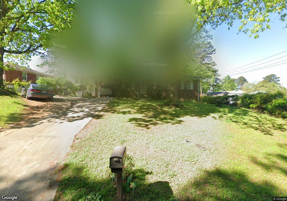
1317 Sanders Dr Unit 4 Morrow, GA 30260
Estimated Value: $223,695 - $281,000
3
Beds
2
Baths
1,711
Sq Ft
$141/Sq Ft
Est. Value
About This Home
This home is located at 1317 Sanders Dr Unit 4, Morrow, GA 30260 and is currently estimated at $241,424, approximately $141 per square foot. 1317 Sanders Dr Unit 4 is a home located in Clayton County with nearby schools including Lake City Elementary School, Babb Middle School, and Forest Park High School.
Ownership History
Date
Name
Owned For
Owner Type
Purchase Details
Closed on
Jul 16, 2003
Sold by
Pom Sophal
Bought by
Pom Sophal
Current Estimated Value
Home Financials for this Owner
Home Financials are based on the most recent Mortgage that was taken out on this home.
Original Mortgage
$80,000
Interest Rate
5.24%
Mortgage Type
New Conventional
Purchase Details
Closed on
Mar 29, 1999
Sold by
Perteet Roger W
Bought by
Ponit Sophal
Home Financials for this Owner
Home Financials are based on the most recent Mortgage that was taken out on this home.
Original Mortgage
$75,900
Interest Rate
7.06%
Mortgage Type
New Conventional
Purchase Details
Closed on
Jun 30, 1994
Sold by
Hughes Rocky
Bought by
Perteet Roger W
Home Financials for this Owner
Home Financials are based on the most recent Mortgage that was taken out on this home.
Original Mortgage
$59,000
Interest Rate
8.5%
Mortgage Type
VA
Create a Home Valuation Report for This Property
The Home Valuation Report is an in-depth analysis detailing your home's value as well as a comparison with similar homes in the area
Home Values in the Area
Average Home Value in this Area
Purchase History
| Date | Buyer | Sale Price | Title Company |
|---|---|---|---|
| Pom Sophal | -- | -- | |
| Ponit Sophal | $79,900 | -- | |
| Perteet Roger W | $59,000 | -- |
Source: Public Records
Mortgage History
| Date | Status | Borrower | Loan Amount |
|---|---|---|---|
| Closed | Pom Sophal | $80,000 | |
| Previous Owner | Ponit Sophal | $75,900 | |
| Previous Owner | Perteet Roger W | $59,000 |
Source: Public Records
Tax History
| Year | Tax Paid | Tax Assessment Tax Assessment Total Assessment is a certain percentage of the fair market value that is determined by local assessors to be the total taxable value of land and additions on the property. | Land | Improvement |
|---|---|---|---|---|
| 2025 | $2,854 | $74,880 | $6,400 | $68,480 |
| 2024 | $2,634 | $77,520 | $6,400 | $71,120 |
| 2023 | $2,389 | $66,160 | $6,400 | $59,760 |
| 2022 | $1,765 | $54,960 | $6,400 | $48,560 |
| 2021 | $1,381 | $44,960 | $6,400 | $38,560 |
| 2020 | $1,279 | $41,990 | $6,400 | $35,590 |
| 2019 | $1,346 | $43,159 | $5,200 | $37,959 |
| 2018 | $1,355 | $43,386 | $5,200 | $38,186 |
| 2017 | $945 | $33,217 | $5,200 | $28,017 |
| 2016 | $645 | $28,070 | $5,200 | $22,870 |
| 2015 | $647 | $0 | $0 | $0 |
| 2014 | $745 | $31,406 | $5,200 | $26,206 |
Source: Public Records
Map
Nearby Homes
- 1241 Tsali Trail
- 1077 Helen St
- 5489 Ahyoka Dr
- 1058 Phillips Cir
- 98 Werner Brook Way SW
- 5647 Highland St
- 5654 Waterford Ct
- 5163 East St
- 5535 Cypress Dr
- 5316 Ash St
- 4881 Price St
- 0 Ash St Unit 10563129
- 5344 Sharon St
- 5570 Ash St
- 1829 Joy Lake Rd
- 5355 Sharon St
- 965 Cone Rd
- 2273 Santa fe St Unit 24
- 2318 Santa fe St Unit 4
- 1124 Ponderosa Park Dr
- 1289 Sanders Way
- 1325 Sanders Dr
- 1289 Sanders Way
- 1279 Sanders Way
- 1328 Sanders Dr Unit 4
- 1310 Sanders Dr
- 1322 Sanders Dr
- 1273 Sanders Way
- 1334 Sanders Dr
- 1304 Sanders Dr
- 1297 Sanders Dr
- 1300 Sanders Dr
- 1265 Sanders Way
- 5416 Wahsega Way
- 1294 Sanders Dr
- 1262 Sanders Way
- 1313 Kenyon Rd
- 1257 Sanders Way
- 1283 Sanders Dr Unit 3
- 5417 Wahsega Way
Your Personal Tour Guide
Ask me questions while you tour the home.