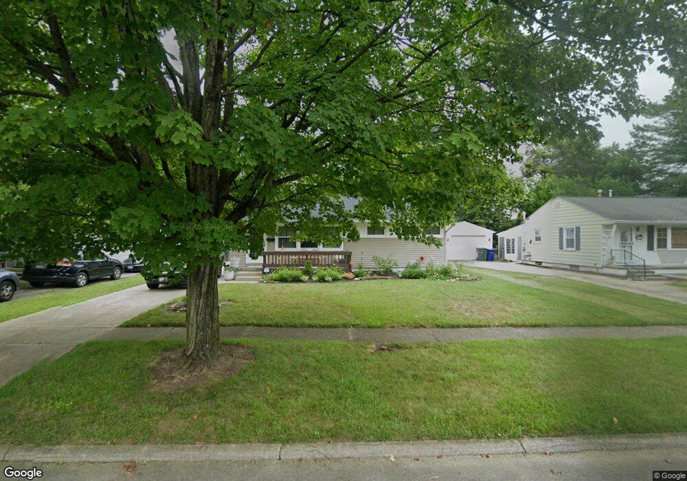
1317 Simpson Dr Columbus, OH 43227
Shady Lane NeighborhoodEstimated Value: $178,000 - $201,000
3
Beds
1
Bath
912
Sq Ft
$205/Sq Ft
Est. Value
About This Home
This home is located at 1317 Simpson Dr, Columbus, OH 43227 and is currently estimated at $187,216, approximately $205 per square foot. 1317 Simpson Dr is a home located in Franklin County with nearby schools including Shady Lane Elementary School, Sherwood Middle School, and Walnut Ridge High School.
Ownership History
Date
Name
Owned For
Owner Type
Purchase Details
Closed on
Apr 30, 2004
Sold by
Sturtz David L and Estate Of Donald E Sturtz
Bought by
Huttman Jo Ann E
Current Estimated Value
Purchase Details
Closed on
Apr 22, 2004
Sold by
Estate Of Nancy A Sturtz
Bought by
Sturtz Donald E
Create a Home Valuation Report for This Property
The Home Valuation Report is an in-depth analysis detailing your home's value as well as a comparison with similar homes in the area
Home Values in the Area
Average Home Value in this Area
Purchase History
| Date | Buyer | Sale Price | Title Company |
|---|---|---|---|
| Huttman Jo Ann E | $94,900 | Stewart Title Agency Of Colu | |
| Sturtz Donald E | -- | -- |
Source: Public Records
Tax History
| Year | Tax Paid | Tax Assessment Tax Assessment Total Assessment is a certain percentage of the fair market value that is determined by local assessors to be the total taxable value of land and additions on the property. | Land | Improvement |
|---|---|---|---|---|
| 2025 | $2,430 | $54,150 | $15,120 | $39,030 |
| 2024 | $2,430 | $54,150 | $15,120 | $39,030 |
| 2023 | $2,399 | $54,145 | $15,120 | $39,025 |
| 2022 | $1,418 | $27,340 | $5,670 | $21,670 |
| 2021 | $1,421 | $27,340 | $5,670 | $21,670 |
| 2020 | $1,422 | $27,340 | $5,670 | $21,670 |
| 2019 | $1,355 | $22,330 | $4,550 | $17,780 |
| 2018 | $1,284 | $22,330 | $4,550 | $17,780 |
| 2017 | $1,347 | $22,330 | $4,550 | $17,780 |
| 2016 | $1,340 | $20,230 | $4,480 | $15,750 |
| 2015 | $1,217 | $20,230 | $4,480 | $15,750 |
| 2014 | $1,219 | $20,230 | $4,480 | $15,750 |
| 2013 | $707 | $23,765 | $5,250 | $18,515 |
Source: Public Records
Map
Nearby Homes
- 1284 Thurston Dr
- 1243 Simpson Dr
- 1229 Simpson Dr
- 4467 Grimsby Rd
- 1281 Maetzel Dr
- 1193 Marble Dr
- 4472 Aragon Ave
- 1356 Harlow Rd
- 4677 E Livingston Ave
- 1612 Simpson Dr
- 1607 Baxter Dr
- 1639 Shady Lane Rd
- 4859 Folger Dr
- 1260 Country Club Rd
- 1301 Bernhard Rd
- 4701 Janis Dr
- 1691 Shady Lane Rd
- 4649 Dundee Ave
- 1085 S Hamilton Rd
- 1492 Burlington Ave
- 1325 Simpson Dr
- 1309 Simpson Dr
- 1307 Huntly Dr
- 4586 Amesbury Rd
- 4598 Amesbury Rd
- 4578 Amesbury Rd
- 1305 Huntly Dr
- 1316 Simpson Dr
- 1322 Simpson Dr
- 1308 Simpson Dr
- 4570 Amesbury Rd
- 1330 Simpson Dr
- 1300 Simpson Dr
- 1303 Huntly Dr
- 1285 Simpson Dr
- 1298 Huntly Dr
- 4562 Amesbury Rd
- 1290 Simpson Dr
- 1296 Huntly Dr
- 1355 Simpson Dr
Your Personal Tour Guide
Ask me questions while you tour the home.