1317 Summers End Ct Fenton, MO 63026
Estimated Value: $440,000 - $487,000
4
Beds
3
Baths
2,478
Sq Ft
$191/Sq Ft
Est. Value
About This Home
This home is located at 1317 Summers End Ct, Fenton, MO 63026 and is currently estimated at $473,852, approximately $191 per square foot. 1317 Summers End Ct is a home located in St. Louis County with nearby schools including Kellison Elementary School, Rockwood South Middle School, and Rockwood Summit Senior High School.
Ownership History
Date
Name
Owned For
Owner Type
Purchase Details
Closed on
Oct 6, 2015
Sold by
Stone Ann E
Bought by
Federal National Mortgage Association
Current Estimated Value
Purchase Details
Closed on
Jun 9, 2010
Sold by
Simms Paul David and Simms Lori Ann
Bought by
Simms Paul David
Purchase Details
Closed on
Nov 23, 1999
Sold by
John Brown
Bought by
Simms Paul and Simms Lori
Home Financials for this Owner
Home Financials are based on the most recent Mortgage that was taken out on this home.
Original Mortgage
$194,130
Interest Rate
11.99%
Purchase Details
Closed on
Jul 29, 1998
Sold by
Weber Paul L and Mary Chapko
Bought by
Brown John and Brown Rachel
Home Financials for this Owner
Home Financials are based on the most recent Mortgage that was taken out on this home.
Original Mortgage
$105,000
Interest Rate
5.87%
Create a Home Valuation Report for This Property
The Home Valuation Report is an in-depth analysis detailing your home's value as well as a comparison with similar homes in the area
Home Values in the Area
Average Home Value in this Area
Purchase History
| Date | Buyer | Sale Price | Title Company |
|---|---|---|---|
| Federal National Mortgage Association | $234,229 | None Available | |
| Simms Paul David | -- | None Available | |
| Simms Paul | $215,700 | -- | |
| Brown John | -- | -- |
Source: Public Records
Mortgage History
| Date | Status | Borrower | Loan Amount |
|---|---|---|---|
| Previous Owner | Simms Paul | $194,130 | |
| Previous Owner | Brown John | $105,000 | |
| Closed | Simms Paul | $10,785 |
Source: Public Records
Tax History Compared to Growth
Tax History
| Year | Tax Paid | Tax Assessment Tax Assessment Total Assessment is a certain percentage of the fair market value that is determined by local assessors to be the total taxable value of land and additions on the property. | Land | Improvement |
|---|---|---|---|---|
| 2025 | $5,407 | $74,040 | $26,220 | $47,820 |
| 2024 | $5,407 | $72,620 | $14,760 | $57,860 |
| 2023 | $5,402 | $72,620 | $14,760 | $57,860 |
| 2022 | $4,623 | $57,870 | $13,810 | $44,060 |
| 2021 | $4,587 | $57,870 | $13,810 | $44,060 |
| 2020 | $4,708 | $57,110 | $12,290 | $44,820 |
| 2019 | $4,721 | $57,110 | $12,290 | $44,820 |
| 2018 | $4,388 | $50,910 | $10,740 | $40,170 |
| 2017 | $4,353 | $50,910 | $10,740 | $40,170 |
| 2016 | $4,185 | $49,420 | $10,740 | $38,680 |
| 2015 | $4,098 | $49,420 | $10,740 | $38,680 |
| 2014 | $4,086 | $48,030 | $8,490 | $39,540 |
Source: Public Records
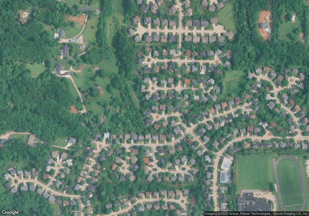
Map
Nearby Homes
- 1443 Summerpoint Ln
- 1604 Ivy Chase Ln
- 814 Summit Glen Ct
- 1419 Durango Ln Unit 1
- 1273 Pequeno Ln
- 1185 Scheel Ln
- 457 Avalon View Ct
- 0 Unknown Unit MIS25061192
- 1201 Diamond Valley Dr
- 1281 Hawkins Bend Ct
- 1704 Preston Centre Dr
- 1524 Shalimar Ridge Ln
- 1365 Hillsboro Rd
- 2 Salvation Ridge Ct
- 928 Oak Terrace Ct
- 1320 Fenton Hills Rd
- 1321 Green Mist Dr
- 732 Rockshire Dr
- 108 E Lark Dr
- 4635 White Ash Dr
- 1308 Summerhawk Ln
- 1311 Summers End Ct
- 1323 Summers End Ct
- 1312 Summerhawk Ln
- 1304 Summerhawk Ln
- 1320 Summers End Ct
- 1305 Summers End Ct
- 1314 Summers End Ct
- 1300 Summerhawk Ln
- 1310 Summers End Ct
- 1316 Summerhawk Ln
- 1309 Summerhawk Ln
- 1621 Summers End Ln
- 1305 Summerhawk Ln
- 1313 Summerhawk Ln
- 1313 Summerpoint Ln
- 1317 Summerpoint Ln
- 1309 Summerpoint Ln
- 1321 Summerpoint Ln
- 1301 Summerhawk Ln