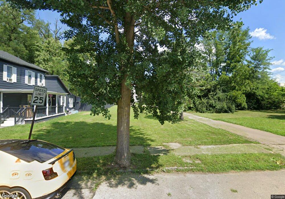
1317 W 1st St Dayton, OH 45402
Wolf Creek NeighborhoodEstimated Value: $57,000
2
Beds
1
Bath
956
Sq Ft
$60/Sq Ft
Est. Value
About This Home
This home is located at 1317 W 1st St, Dayton, OH 45402 and is currently priced at $57,000, approximately $59 per square foot. 1317 W 1st St is a home located in Montgomery County with nearby schools including International School at Residence Park, Louise Troy Elementary, and Westwood Elementary.
Ownership History
Date
Name
Owned For
Owner Type
Purchase Details
Closed on
Jan 21, 2023
Sold by
City Of Dayton
Bought by
County Corp
Current Estimated Value
Purchase Details
Closed on
Sep 6, 2019
Sold by
Montgomery Cnty Land Reutilization Corp
Bought by
City Of Dayton
Purchase Details
Closed on
Jul 6, 2009
Sold by
Capital Equity Partners Llc
Bought by
Stonecrest Income & Opportunity Fund 1 L
Purchase Details
Closed on
May 18, 2009
Sold by
Miller Marland and Miller Tamika
Bought by
Capital Equity Partners Llc
Purchase Details
Closed on
Jan 19, 2006
Sold by
Booze Carrie
Bought by
Miller Marland and Miller Temika
Create a Home Valuation Report for This Property
The Home Valuation Report is an in-depth analysis detailing your home's value as well as a comparison with similar homes in the area
Home Values in the Area
Average Home Value in this Area
Purchase History
| Date | Buyer | Sale Price | Title Company |
|---|---|---|---|
| County Corp | -- | -- | |
| City Of Dayton | -- | None Available | |
| Stonecrest Income & Opportunity Fund 1 L | $8,500 | Cornerstone Title Services L | |
| Capital Equity Partners Llc | $4,000 | Attorney | |
| Miller Marland | $10,000 | Midwest Title Company |
Source: Public Records
Tax History Compared to Growth
Tax History
| Year | Tax Paid | Tax Assessment Tax Assessment Total Assessment is a certain percentage of the fair market value that is determined by local assessors to be the total taxable value of land and additions on the property. | Land | Improvement |
|---|---|---|---|---|
| 2024 | -- | $1,040 | $1,040 | -- |
| 2023 | $0 | $1,040 | $1,040 | $0 |
| 2022 | $48 | $1,040 | $1,040 | $0 |
| 2021 | $48 | $1,040 | $1,040 | $0 |
| 2020 | $48 | $1,040 | $1,040 | $0 |
| 2019 | $53 | $1,040 | $1,040 | $0 |
| 2018 | $53 | $1,040 | $1,040 | $0 |
| 2017 | $53 | $1,040 | $1,040 | $0 |
| 2016 | $308 | $3,060 | $2,080 | $980 |
| 2015 | $596 | $3,060 | $2,080 | $980 |
| 2014 | $596 | $3,060 | $2,080 | $980 |
| 2012 | -- | $3,830 | $2,320 | $1,510 |
Source: Public Records
Map
Nearby Homes
- 149 Edison St
- 408 N Conover St
- 1151 W 2nd St
- 1527 W 1st St
- 1005 W Third St
- 1009 W Third St
- 997 W Third St
- The Aviator Plan at The Townes at Wright Dunbar
- 235 Mercer Ave
- 1540 W 2nd St
- 1568 W 2nd St
- 37 Mound St
- 66 Barnett St Unit 64
- 130 Mound St
- 132 Mound St
- 809 Faulkner Ave
- 817 Faulkner Ave
- 121 Gordon Ave
- 829 Riverview Terrace
- 40 Gordon Ave