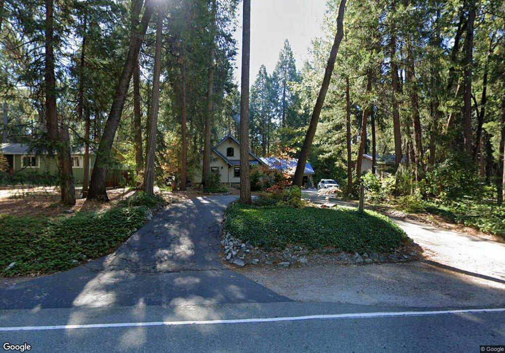
13179 Red Dog Rd Nevada City, CA 95959
Estimated Value: $470,000 - $583,000
3
Beds
2
Baths
2,200
Sq Ft
$238/Sq Ft
Est. Value
About This Home
This home is located at 13179 Red Dog Rd, Nevada City, CA 95959 and is currently estimated at $524,411, approximately $238 per square foot. 13179 Red Dog Rd is a home located in Nevada County with nearby schools including Deer Creek Elementary School, Seven Hills Intermediate School, and Forest Charter School.
Ownership History
Date
Name
Owned For
Owner Type
Purchase Details
Closed on
Feb 28, 2014
Sold by
Haulman Haulman Brian Earl Brian Earl and Haulman Herbst Frances M
Bought by
The Brian Haulman & Frances Haulman Herb
Current Estimated Value
Purchase Details
Closed on
Sep 11, 2001
Sold by
Bostrom Dale L and Bostrom Corlyn L
Bought by
Haulman Brian Earl and Haulman Herbst Frances M
Home Financials for this Owner
Home Financials are based on the most recent Mortgage that was taken out on this home.
Original Mortgage
$50,000
Interest Rate
7%
Create a Home Valuation Report for This Property
The Home Valuation Report is an in-depth analysis detailing your home's value as well as a comparison with similar homes in the area
Home Values in the Area
Average Home Value in this Area
Purchase History
| Date | Buyer | Sale Price | Title Company |
|---|---|---|---|
| The Brian Haulman & Frances Haulman Herb | -- | None Available | |
| Haulman Brian Earl | $279,000 | Inter County Title Co |
Source: Public Records
Mortgage History
| Date | Status | Borrower | Loan Amount |
|---|---|---|---|
| Closed | Haulman Brian Earl | $50,000 |
Source: Public Records
Tax History Compared to Growth
Tax History
| Year | Tax Paid | Tax Assessment Tax Assessment Total Assessment is a certain percentage of the fair market value that is determined by local assessors to be the total taxable value of land and additions on the property. | Land | Improvement |
|---|---|---|---|---|
| 2025 | $4,407 | $412,145 | $88,625 | $323,520 |
| 2024 | $4,319 | $404,065 | $86,888 | $317,177 |
| 2023 | $4,319 | $396,143 | $85,185 | $310,958 |
| 2022 | $4,228 | $388,376 | $83,515 | $304,861 |
| 2021 | $4,114 | $380,762 | $81,878 | $298,884 |
| 2020 | $4,102 | $376,859 | $81,039 | $295,820 |
| 2019 | $4,017 | $369,470 | $79,450 | $290,020 |
| 2018 | $3,937 | $362,227 | $77,893 | $284,334 |
| 2017 | $3,859 | $355,125 | $76,366 | $278,759 |
| 2016 | $3,670 | $343,500 | $80,500 | $263,000 |
| 2015 | $3,077 | $286,100 | $67,100 | $219,000 |
| 2014 | -- | $270,300 | $63,300 | $207,000 |
Source: Public Records
Map
Nearby Homes
- 12716 Red Dog Rd
- 13518 Quaker Hill Cross Rd
- 13646 Quaker Hill Cross Rd
- 11797 Cedar Springs Rd
- 13755 Quaker Hill Cross Rd
- 11352 Caroline Ln
- 14289 Banner Mtn Lookout Rd
- 14014 Red Dog Rd
- 12043 Pasquale Rd
- 11582 Winter Moon Way
- 13837 Gemini Ct
- 11877 Incline Shaft Rd
- 11937 Incline Shaft Rd
- 12952 Woodpecker Way
- 13100 Banner Lava Cap Rd
- 13625 Pegasus Place
- 10950 Banning Way
- 21293 Scotts Flat Rd
- 11668 Blackberry Place
- 10973 Scotts Flat Dam Rd