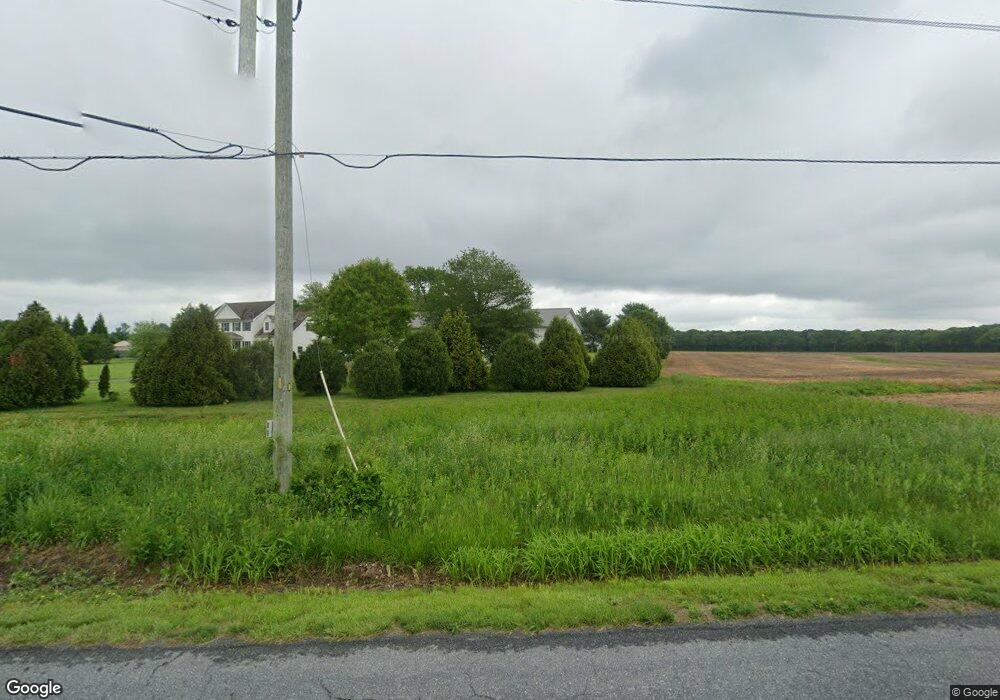
1318 Tuxward Rd Hartly, DE 19953
Estimated Value: $511,000 - $706,312
4
Beds
3
Baths
2,920
Sq Ft
$199/Sq Ft
Est. Value
About This Home
This home is located at 1318 Tuxward Rd, Hartly, DE 19953 and is currently estimated at $580,578, approximately $198 per square foot. 1318 Tuxward Rd is a home located in Kent County with nearby schools including Hartly Elementary School, William Henry Middle School, and Central Middle School.
Ownership History
Date
Name
Owned For
Owner Type
Purchase Details
Closed on
Dec 20, 2008
Sold by
Swanson Sharon M
Bought by
Reed Daniel A and Reed Amber D
Current Estimated Value
Home Financials for this Owner
Home Financials are based on the most recent Mortgage that was taken out on this home.
Original Mortgage
$333,150
Outstanding Balance
$220,558
Interest Rate
6.17%
Mortgage Type
FHA
Estimated Equity
$360,020
Create a Home Valuation Report for This Property
The Home Valuation Report is an in-depth analysis detailing your home's value as well as a comparison with similar homes in the area
Home Values in the Area
Average Home Value in this Area
Purchase History
| Date | Buyer | Sale Price | Title Company |
|---|---|---|---|
| Reed Daniel A | $335,000 | None Available |
Source: Public Records
Mortgage History
| Date | Status | Borrower | Loan Amount |
|---|---|---|---|
| Open | Reed Daniel A | $333,150 |
Source: Public Records
Tax History Compared to Growth
Tax History
| Year | Tax Paid | Tax Assessment Tax Assessment Total Assessment is a certain percentage of the fair market value that is determined by local assessors to be the total taxable value of land and additions on the property. | Land | Improvement |
|---|---|---|---|---|
| 2025 | $2,914 | $507,500 | $100,000 | $407,500 |
| 2024 | $2,914 | $507,500 | $100,000 | $407,500 |
| 2023 | $2,530 | $84,800 | $10,100 | $74,700 |
| 2022 | $2,447 | $84,800 | $10,100 | $74,700 |
| 2021 | $2,358 | $84,800 | $10,100 | $74,700 |
| 2020 | $2,279 | $84,800 | $10,100 | $74,700 |
| 2019 | $2,156 | $84,800 | $10,100 | $74,700 |
| 2018 | $1,970 | $84,800 | $10,100 | $74,700 |
| 2017 | $1,937 | $84,800 | $0 | $0 |
| 2016 | $1,945 | $84,800 | $0 | $0 |
| 2015 | $1,943 | $84,800 | $0 | $0 |
| 2014 | $1,739 | $75,700 | $0 | $0 |
Source: Public Records
Map
Nearby Homes
- 2663 Halltown Rd
- Lot 20 Tower
- 392 Judith Rd
- 5120 Halltown Rd
- 436 Halltown Rd
- 5380 Halltown Rd
- 855 Brittney Ln
- 310 Main St
- 844 Big Ditch Rd
- 0 Crystal Rd
- 37 Rehak Dr
- 653 Grygo Rd
- 27279 Jenny Hye Ln
- 0 Main St
- 0 Arthursville Rd Unit DEKT2041826
- 86 Longbow Ln Unit 86
- 3290 Hartly Rd
- 1950 Pearsons Corner Rd
- 0 Temple Rd Unit MDCM2006034
- 0 Halltown Rd Unit DEKT2042778
- 92 Bryants Corner Rd
- 142 Bryants Corner Rd
- 1267 Tuxward Rd
- 107 Bryants Corner Rd
- 164 Bryants Corner Rd
- 0 Bryants Corner Rd
- 0 Bryants Corner Rd Unit 1003963261
- 1285 Tuxward Rd
- 1 Bryants Corner Rd
- 19 Bryants Corner Rd
- 67 Bryants Corner Rd
- 139 Bryants Corner Rd
- 204 Bryants Corner Rd
- 1389 Tuxward Rd
- 181 Bryants Corner Rd
- 240 Bryants Corner Rd
- 1181 Tuxward Rd
- 1325 Tuxward Rd
- 294 Bryants Corner Rd
- 109 Holly Island Rd