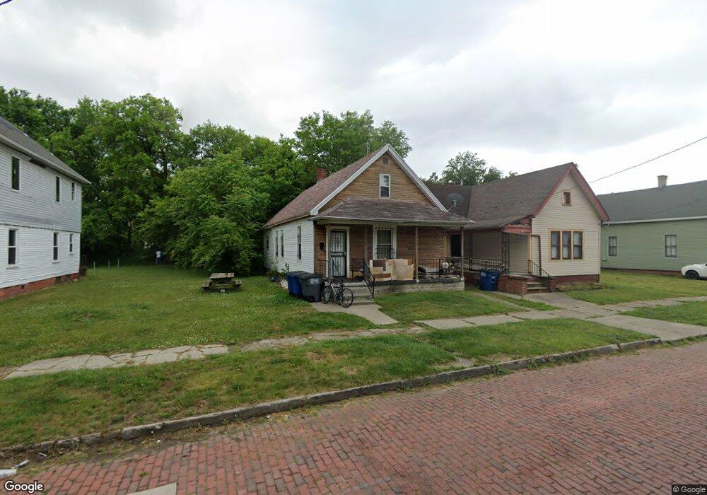
1319 Avondale Ave Toledo, OH 43607
ONYX NeighborhoodEstimated Value: $26,000 - $53,514
3
Beds
1
Bath
1,034
Sq Ft
$42/Sq Ft
Est. Value
About This Home
This home is located at 1319 Avondale Ave, Toledo, OH 43607 and is currently estimated at $43,129, approximately $41 per square foot. 1319 Avondale Ave is a home located in Lucas County with nearby schools including Pickett Elementary School, Jesup W. Scott High School, and Explorers Academy.
Ownership History
Date
Name
Owned For
Owner Type
Purchase Details
Closed on
Jan 29, 2007
Sold by
Howie Robert L
Bought by
Womack Lajeune
Current Estimated Value
Purchase Details
Closed on
Apr 14, 2005
Sold by
Pacific Premier Bank
Bought by
Howie Robert
Purchase Details
Closed on
Jul 26, 2004
Sold by
Walker Arthur L
Bought by
Pacific Premier Bank
Purchase Details
Closed on
Aug 22, 1996
Sold by
Walker Arthur L
Bought by
Walker Arthur L
Create a Home Valuation Report for This Property
The Home Valuation Report is an in-depth analysis detailing your home's value as well as a comparison with similar homes in the area
Home Values in the Area
Average Home Value in this Area
Purchase History
| Date | Buyer | Sale Price | Title Company |
|---|---|---|---|
| Womack Lajeune | -- | None Available | |
| Howie Robert | $9,000 | Chicago Title Insurance Co | |
| Pacific Premier Bank | $12,000 | -- | |
| Walker Arthur L | $35,000 | -- |
Source: Public Records
Tax History Compared to Growth
Tax History
| Year | Tax Paid | Tax Assessment Tax Assessment Total Assessment is a certain percentage of the fair market value that is determined by local assessors to be the total taxable value of land and additions on the property. | Land | Improvement |
|---|---|---|---|---|
| 2024 | $250 | $7,000 | $1,400 | $5,600 |
| 2023 | $457 | $6,055 | $1,365 | $4,690 |
| 2022 | $460 | $6,055 | $1,365 | $4,690 |
| 2021 | $467 | $6,055 | $1,365 | $4,690 |
| 2020 | $490 | $5,530 | $1,295 | $4,235 |
| 2019 | $472 | $5,530 | $1,295 | $4,235 |
| 2018 | $479 | $5,530 | $1,295 | $4,235 |
| 2017 | $472 | $5,250 | $1,295 | $3,955 |
| 2016 | $571 | $15,000 | $3,700 | $11,300 |
| 2015 | $479 | $15,000 | $3,700 | $11,300 |
| 2014 | $510 | $5,260 | $1,300 | $3,960 |
| 2013 | $340 | $5,260 | $1,300 | $3,960 |
Source: Public Records
Map
Nearby Homes
- 834 N Detroit Ave
- 901 N Detroit Ave
- 1434 Nebraska Ave
- 1267 Nebraska Ave
- 1255 Nebraska Ave
- 1422 Tecumseh St
- 1133 Blum St
- 635 N Detroit Ave
- 1264 Fernwood Ave
- 1627 Fernwood Ave
- 1123 Hamilton St
- 910 Blum St
- 1063 Norwood Ave
- 820 N Miller St
- 1222 Lincoln Ave
- 1510 Lincoln Ave
- 1211 Manila St
- 1401 Foster Ave
- 929 Norwood Ave
- 927 Norwood Ave
- 1323 Avondale Ave
- 1325 Avondale Ave
- 1311 Avondale Ave
- 1317 Avondale Ave
- 1329 Avondale Ave
- 1307 Avondale Ave
- 1318 Avondale Ave
- 1326 Belmont Ave
- 1337 Avondale Ave
- 1320 Avondale Ave
- 1322 Avondale Ave
- 822 Junction Ave
- 805 Heston St
- 1328 Avondale Ave
- 1334 Avondale Ave
- 1336 Belmont Ave
- 905 Heston St
- 1336 Avondale Ave
- 820 Heston St
- 1259 Avondale Ave