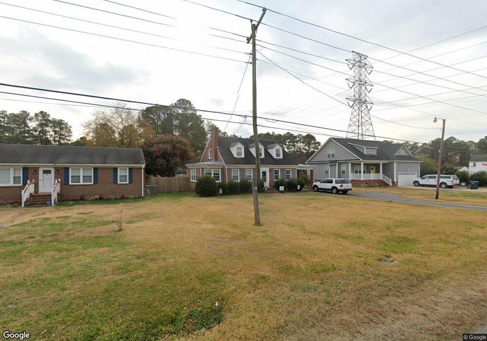
1319 Holland Rd Suffolk, VA 23434
Holy Neck NeighborhoodEstimated Value: $310,690 - $343,000
3
Beds
2
Baths
1,894
Sq Ft
$169/Sq Ft
Est. Value
About This Home
This home is located at 1319 Holland Rd, Suffolk, VA 23434 and is currently estimated at $319,423, approximately $168 per square foot. 1319 Holland Rd is a home located in Suffolk City with nearby schools including Kilby Shores Elementary School, King's Fork Middle School, and Lakeland High School.
Ownership History
Date
Name
Owned For
Owner Type
Purchase Details
Closed on
Aug 28, 2023
Sold by
Higham Jessica A
Bought by
Wyatt William David
Current Estimated Value
Home Financials for this Owner
Home Financials are based on the most recent Mortgage that was taken out on this home.
Original Mortgage
$255,000
Outstanding Balance
$247,345
Interest Rate
5.75%
Mortgage Type
New Conventional
Estimated Equity
$72,078
Purchase Details
Closed on
Dec 29, 2014
Sold by
Stewart Lucy C
Bought by
Stewart Tracy Lee and Haupt Toni Stewart
Create a Home Valuation Report for This Property
The Home Valuation Report is an in-depth analysis detailing your home's value as well as a comparison with similar homes in the area
Home Values in the Area
Average Home Value in this Area
Purchase History
| Date | Buyer | Sale Price | Title Company |
|---|---|---|---|
| Wyatt William David | $255,000 | True North Title | |
| Stewart Tracy Lee | -- | -- |
Source: Public Records
Mortgage History
| Date | Status | Borrower | Loan Amount |
|---|---|---|---|
| Open | Wyatt William David | $255,000 |
Source: Public Records
Tax History
| Year | Tax Paid | Tax Assessment Tax Assessment Total Assessment is a certain percentage of the fair market value that is determined by local assessors to be the total taxable value of land and additions on the property. | Land | Improvement |
|---|---|---|---|---|
| 2025 | $3,319 | $268,100 | $47,100 | $221,000 |
| 2024 | $3,319 | $254,100 | $42,800 | $211,300 |
| 2023 | $3,112 | $247,300 | $42,800 | $204,500 |
| 2022 | $2,354 | $216,000 | $42,800 | $173,200 |
| 2021 | $2,120 | $191,000 | $42,800 | $148,200 |
| 2020 | $2,019 | $181,900 | $42,800 | $139,100 |
| 2019 | $1,920 | $173,000 | $42,800 | $130,200 |
| 2018 | $1,829 | $164,800 | $42,800 | $122,000 |
| 2017 | $1,639 | $153,200 | $42,800 | $110,400 |
| 2016 | $1,639 | $153,200 | $42,800 | $110,400 |
| 2015 | $136 | $153,200 | $42,800 | $110,400 |
Source: Public Records
Map
Nearby Homes
- 2011 Carroll Brinkley Way
- 103 Tupelo Way
- 1323 Pheasant Cir
- 129 Brookside Ln
- 6001 Gardenstone Cir
- 408 Terrywood Dr
- 221 Terrywood Dr
- 814 General Pickett Dr
- 1.16AC Lake Kilby Rd
- 304 Terrywood Dr
- 5001 Melanie Ct
- 3027 Brett Dr
- 5003 Melanie Ct
- 221 Delaney Dr
- 5009 Melanie Ct
- 19 Grove Ave
- 202 Grove Ave
- 320 Tarn Ct
- 326 Tarn Ct
- 335 Tarn Ct
- 1321 Holland Rd
- 1317 Holland Rd
- 103 Oliver St
- 1315 Holland Rd
- 1325 Holland Rd
- 105 Oliver St
- 1314 Holland Rd
- 1313 Holland Rd
- 104 Oliver St
- 1312 Holland Rd
- 1311 Holland Rd
- 106 Oliver St
- 1328 Holland Rd
- 1310 Holland Rd
- 103 Carroll St
- 1309 Holland Rd
- 105 Joyner St
- 1308 Holland Rd
- 107 Joyner St
- 114 Plover Dr
Your Personal Tour Guide
Ask me questions while you tour the home.