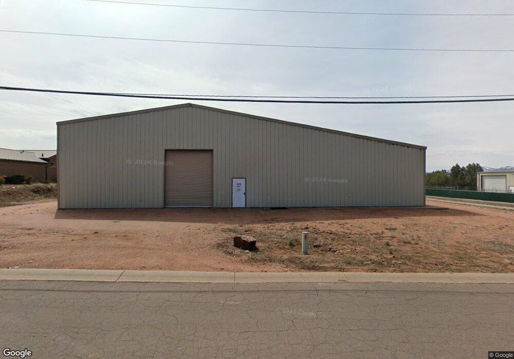
1319 W Red Baron Rd Payson, AZ 85541
Estimated Value: $340,773
--
Bed
--
Bath
8,640
Sq Ft
$39/Sq Ft
Est. Value
About This Home
This home is located at 1319 W Red Baron Rd, Payson, AZ 85541 and is currently priced at $340,773, approximately $39 per square foot. 1319 W Red Baron Rd is a home located in Gila County with nearby schools including Julia Randall Elementary School, Payson Elementary School, and Rim Country Middle School.
Ownership History
Date
Name
Owned For
Owner Type
Purchase Details
Closed on
Sep 25, 2018
Sold by
Underwood Patrick Jay and Underwood Barbara Ann
Bought by
Reidhead J Stanley J and Reidhead Karen C
Current Estimated Value
Purchase Details
Closed on
Aug 6, 2012
Sold by
Federal Deposit Insurance Corporation
Bought by
Underwood Patrick Jay and Underwood Barbara Ann
Purchase Details
Closed on
Jun 4, 2009
Sold by
Progressive Resource Management Inc
Bought by
Towne Bank Of Arizona
Create a Home Valuation Report for This Property
The Home Valuation Report is an in-depth analysis detailing your home's value as well as a comparison with similar homes in the area
Home Values in the Area
Average Home Value in this Area
Purchase History
| Date | Buyer | Sale Price | Title Company |
|---|---|---|---|
| Reidhead J Stanley J | $200,000 | Pioneer Title Agency | |
| Underwood Patrick Jay | $160,000 | Pioneer Title Agency | |
| Towne Bank Of Arizona | $410,000 | Pioneer Title Agency |
Source: Public Records
Tax History Compared to Growth
Tax History
| Year | Tax Paid | Tax Assessment Tax Assessment Total Assessment is a certain percentage of the fair market value that is determined by local assessors to be the total taxable value of land and additions on the property. | Land | Improvement |
|---|---|---|---|---|
| 2025 | $4,022 | -- | -- | -- |
| 2024 | $4,022 | $67,690 | $13,280 | $54,410 |
| 2023 | $4,022 | $49,919 | $9,477 | $40,442 |
| 2022 | $4,013 | $54,702 | $9,477 | $45,225 |
| 2021 | $3,875 | $54,702 | $9,477 | $45,225 |
| 2020 | $3,723 | $0 | $0 | $0 |
| 2019 | $3,614 | $0 | $0 | $0 |
| 2018 | $3,401 | $0 | $0 | $0 |
| 2017 | $3,170 | $0 | $0 | $0 |
| 2016 | $3,105 | $0 | $0 | $0 |
| 2015 | $3,132 | $0 | $0 | $0 |
Source: Public Records
Map
Nearby Homes
- 525 N Peak Loop
- 1007 N Aviator Pkwy
- 408 N Rim Ranch Point
- 506 N Wagon Ct
- 506 N Peak Loop
- 507 N Peak Loop
- 505 N Peak Loop
- 1003 W Falcon Lookout Ln
- 1003 W Falcon Lookout Ln Unit 11
- 2301 W Graff Dr
- 1200 W Airport Rd
- 1200 W Airport Rd Unit 96F-I
- 802 N Oak Point
- 800 N Oak Point
- 1000 W Falcon Lookout Ln
- 908 W Sherwood Dr
- 1050 W Airport Rd
- 1050 W Airport Rd Unit 10
- 912 W Wilderness Trail
- 817 N Blue Spruce Cir Unit 284
- 1316 W Red Baron Rd
- 1323 W Red Baron Rd
- 1315 W Red Baron Rd Unit 37
- 1315 W Red Baron Rd
- 1322 W Red Baron Rd
- 1322 W Red Baron Rd Unit B
- 1322 W Red Baron Rd Unit A
- 1322 W Red Baron Rd Unit A
- 1312 W Red Baron Rd
- 1302 Earhart Pkwy Unit 111
- 1401 W Red Baron Rd Unit 32
- 1401 W Red Baron Rd
- 1900 W Airport Rd
- 1902 W Airport Rd
- 1902 W Airport Rd
- 1900 W Airport Rd
- 1400 W Airport Rd
- 1400 W Airport Rd
- 1400 W Airport Rd
- 1400 W Airport Rd