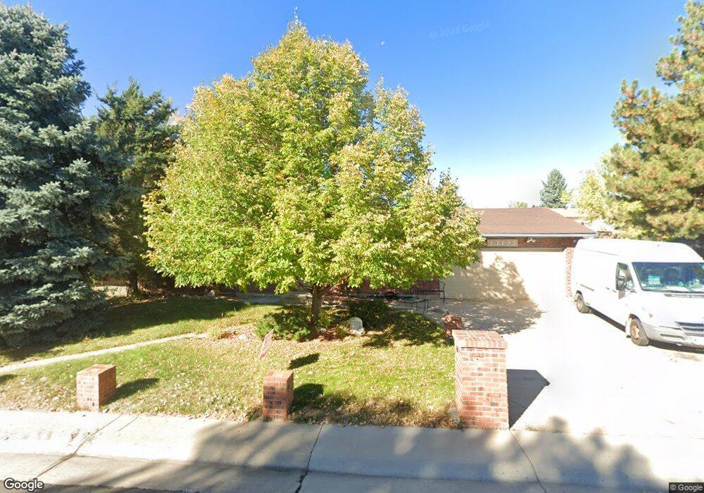
13193 Mercury Dr Lone Tree, CO 80124
Estimated Value: $553,000 - $555,341
2
Beds
1
Bath
882
Sq Ft
$628/Sq Ft
Est. Value
About This Home
This home is located at 13193 Mercury Dr, Lone Tree, CO 80124 and is currently estimated at $554,171, approximately $628 per square foot. 13193 Mercury Dr is a home located in Douglas County with nearby schools including Acres Green Elementary School, Cresthill Middle School, and Highlands Ranch High School.
Ownership History
Date
Name
Owned For
Owner Type
Purchase Details
Closed on
Jun 14, 2001
Sold by
Gray Christina D and Heinzman Heath G
Bought by
Mercier John L and Mercier Peggy L
Current Estimated Value
Home Financials for this Owner
Home Financials are based on the most recent Mortgage that was taken out on this home.
Original Mortgage
$204,097
Outstanding Balance
$77,517
Interest Rate
7.1%
Mortgage Type
FHA
Estimated Equity
$476,654
Purchase Details
Closed on
Jan 30, 1998
Sold by
Johnson Scott D
Bought by
Gray Christina D and Heinzmann Heath G
Home Financials for this Owner
Home Financials are based on the most recent Mortgage that was taken out on this home.
Original Mortgage
$125,091
Interest Rate
6.98%
Purchase Details
Closed on
Aug 29, 1985
Sold by
Denbleyker Donald R
Bought by
Johnson Dennis L
Purchase Details
Closed on
Mar 8, 1979
Sold by
Unavailable
Bought by
Unavailable
Create a Home Valuation Report for This Property
The Home Valuation Report is an in-depth analysis detailing your home's value as well as a comparison with similar homes in the area
Home Values in the Area
Average Home Value in this Area
Purchase History
| Date | Buyer | Sale Price | Title Company |
|---|---|---|---|
| Mercier John L | $207,300 | -- | |
| Gray Christina D | $138,990 | -- | |
| Johnson Dennis L | $85,300 | -- | |
| Unavailable | $49,300 | -- |
Source: Public Records
Mortgage History
| Date | Status | Borrower | Loan Amount |
|---|---|---|---|
| Open | Mercier John L | $204,097 | |
| Previous Owner | Gray Christina D | $125,091 |
Source: Public Records
Tax History Compared to Growth
Tax History
| Year | Tax Paid | Tax Assessment Tax Assessment Total Assessment is a certain percentage of the fair market value that is determined by local assessors to be the total taxable value of land and additions on the property. | Land | Improvement |
|---|---|---|---|---|
| 2024 | $2,818 | $41,090 | $8,020 | $33,070 |
| 2023 | $2,847 | $41,090 | $8,020 | $33,070 |
| 2022 | $1,846 | $27,680 | $6,810 | $20,870 |
| 2021 | $1,920 | $27,680 | $6,810 | $20,870 |
| 2020 | $1,794 | $26,990 | $6,430 | $20,560 |
| 2019 | $1,800 | $26,990 | $6,430 | $20,560 |
| 2018 | $1,377 | $23,460 | $5,600 | $17,860 |
| 2017 | $1,399 | $23,460 | $5,600 | $17,860 |
| 2016 | $1,133 | $20,850 | $3,980 | $16,870 |
| 2015 | $1,158 | $20,850 | $3,980 | $16,870 |
| 2014 | $1,048 | $18,880 | $3,980 | $14,900 |
Source: Public Records
Map
Nearby Homes
- 250 Jupiter Dr
- 202 Helena Cir
- 13134 Deneb Dr
- 426 Jupiter Dr
- 181 Dianna Dr
- 130 Dianna Dr
- 13483 Achilles Dr
- 13542 Achilles Dr
- 8260 Lodgepole Trail
- 8159 Lodgepole Trail
- 7971 Arrowhead Ct
- 108 Olympus Cir
- 336 Aquarius Ct
- 979 Mercury Cir
- 8049 Sweet Water Rd
- 8754 Mesquite Row
- 789 Hamal Dr
- 8860 Kachina Way
- 383 Helena Cir
- 9308 Miles Dr Unit 5
- 13199 Mercury Dr
- 13174 Saturn Dr
- 13194 Saturn Dr
- 13164 Saturn Dr
- 13192 Mercury Dr
- 13198 Mercury Dr
- 13205 Mercury Dr
- 13226 Saturn Dr
- 13154 Saturn Dr
- 13186 Mercury Dr
- 13210 Mercury Dr
- 13246 Saturn Dr
- 13144 Saturn Dr
- 13175 Mercury Dr
- 13173 Saturn Dr
- 13211 Mercury Dr
- 13163 Saturn Dr
- 13180 Mercury Dr
- 13153 Saturn Dr
- 13216 Mercury Dr