132 Auburn Meadow Dr Foristell, MO 63348
Estimated Value: $793,840 - $1,231,000
4
Beds
4
Baths
3,544
Sq Ft
$271/Sq Ft
Est. Value
About This Home
This home is located at 132 Auburn Meadow Dr, Foristell, MO 63348 and is currently estimated at $961,960, approximately $271 per square foot. 132 Auburn Meadow Dr is a home located in St. Charles County with nearby schools including Daniel Boone Elementary School, Francis Howell Middle School, and Francis Howell Union High School.
Ownership History
Date
Name
Owned For
Owner Type
Purchase Details
Closed on
May 16, 2006
Sold by
Blondin & Blondin Properties Llc
Bought by
Delay Brian P and Delay Kirsten D
Current Estimated Value
Home Financials for this Owner
Home Financials are based on the most recent Mortgage that was taken out on this home.
Original Mortgage
$392,800
Outstanding Balance
$228,792
Interest Rate
6.5%
Mortgage Type
Construction
Estimated Equity
$733,168
Create a Home Valuation Report for This Property
The Home Valuation Report is an in-depth analysis detailing your home's value as well as a comparison with similar homes in the area
Home Values in the Area
Average Home Value in this Area
Purchase History
| Date | Buyer | Sale Price | Title Company |
|---|---|---|---|
| Delay Brian P | $95,000 | Ust |
Source: Public Records
Mortgage History
| Date | Status | Borrower | Loan Amount |
|---|---|---|---|
| Open | Delay Brian P | $392,800 |
Source: Public Records
Tax History Compared to Growth
Tax History
| Year | Tax Paid | Tax Assessment Tax Assessment Total Assessment is a certain percentage of the fair market value that is determined by local assessors to be the total taxable value of land and additions on the property. | Land | Improvement |
|---|---|---|---|---|
| 2025 | $8,022 | $136,194 | -- | -- |
| 2023 | $7,655 | $130,060 | $0 | $0 |
| 2022 | $6,567 | $103,750 | $0 | $0 |
| 2021 | $6,573 | $103,750 | $0 | $0 |
| 2020 | $6,023 | $93,342 | $0 | $0 |
| 2019 | $5,995 | $93,342 | $0 | $0 |
| 2018 | $5,847 | $88,491 | $0 | $0 |
| 2017 | $5,814 | $88,491 | $0 | $0 |
| 2016 | $5,628 | $82,602 | $0 | $0 |
| 2015 | $5,627 | $82,602 | $0 | $0 |
| 2014 | $5,386 | $76,488 | $0 | $0 |
Source: Public Records
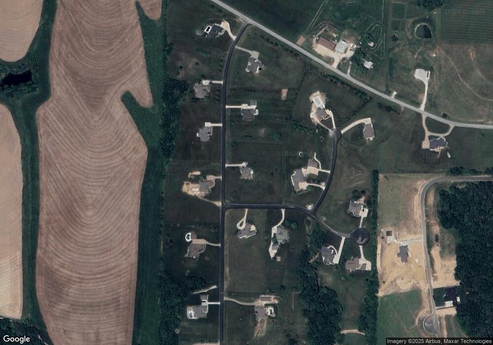
Map
Nearby Homes
- 0 Morrison Ln Unit MIS25063042
- 0 Oberhelman Rd Unit MIS25041755
- 3821 Holt Rd (6 6 Acres)
- 1111 Borgelt
- 1 Borgelt Rd Unit 156.23
- 1 Elaine Plan @ Auden Meadow
- 1 Laney Plan @ Auden Meadow
- 1 Caroline Plan @ Auden Meadow
- 1 Meadow
- 1 Meadow
- 1 Lauren I Plan @ Auden Meadow
- 1 Vera Plan @ Auden Meadow
- 1 Meadow
- 1 Kathleen Plan @ Auden Meadow
- 1 Vinnie Plan @ Auden Meadow
- Lot 36 Holt Acres Ct
- 1 Meadow
- Lot 27 Holt Farm Ct
- Lot 39 Holt Farm Ct
- Lot 38 Holt Farm Ct
- 11 Auburn Meadow Ct
- 135 Auburn Meadow Dr
- 0 Auburn Meadow Ct
- 11 Grand Meadow Ct
- 125 Auburn Meadow Dr
- 76 Auburn Meadow Ct
- 122 Auburn Meadow Dr
- 66 Auburn Meadow Ct
- 145 Auburn Meadow Dr
- 115 Auburn Meadow Dr
- 5 Grand Meadow Ct
- 56 Auburn Meadow Ct
- 55 Auburn Meadow Dr
- 110 Auburn Meadow Dr
- 55 Auburn Meadow Ct
- 4 Grand Meadow Ct
- 10035ac Foristell Rd
- 105 Auburn Meadow 3 Ac Dr
- 46 Auburn Meadow Ct
- 1053 ac Auburn Meadow Dr