Estimated Value: $427,000 - $456,000
3
Beds
3
Baths
1,800
Sq Ft
$245/Sq Ft
Est. Value
About This Home
This home is located at 132 Bacon Rd, Ware, MA 01082 and is currently estimated at $440,466, approximately $244 per square foot. 132 Bacon Rd is a home with nearby schools including Stanley M. Koziol Elementary School, Ware Middle School, and Ware Junior/Senior High School.
Ownership History
Date
Name
Owned For
Owner Type
Purchase Details
Closed on
Jul 31, 2003
Sold by
Harder Joel J
Bought by
Harper Holly J and Harper Paul J
Current Estimated Value
Home Financials for this Owner
Home Financials are based on the most recent Mortgage that was taken out on this home.
Original Mortgage
$189,000
Outstanding Balance
$79,781
Interest Rate
5.28%
Mortgage Type
Purchase Money Mortgage
Estimated Equity
$360,685
Create a Home Valuation Report for This Property
The Home Valuation Report is an in-depth analysis detailing your home's value as well as a comparison with similar homes in the area
Home Values in the Area
Average Home Value in this Area
Purchase History
| Date | Buyer | Sale Price | Title Company |
|---|---|---|---|
| Harper Holly J | $210,000 | -- |
Source: Public Records
Mortgage History
| Date | Status | Borrower | Loan Amount |
|---|---|---|---|
| Open | Harper Holly J | $50,000 | |
| Closed | Harper Holly J | $50,000 | |
| Closed | Harper Holly J | $15,000 | |
| Open | Harper Holly J | $189,000 |
Source: Public Records
Tax History
| Year | Tax Paid | Tax Assessment Tax Assessment Total Assessment is a certain percentage of the fair market value that is determined by local assessors to be the total taxable value of land and additions on the property. | Land | Improvement |
|---|---|---|---|---|
| 2025 | $6,616 | $439,300 | $53,400 | $385,900 |
| 2024 | $6,331 | $387,700 | $50,300 | $337,400 |
| 2023 | $6,038 | $349,800 | $48,600 | $301,200 |
| 2022 | $6,315 | $326,500 | $44,900 | $281,600 |
| 2021 | $6,119 | $303,200 | $44,900 | $258,300 |
| 2020 | $3,049 | $287,000 | $44,900 | $242,100 |
| 2019 | $7,392 | $287,000 | $44,900 | $242,100 |
| 2018 | $3,010 | $273,300 | $43,700 | $229,600 |
| 2017 | $5,645 | $271,800 | $43,700 | $228,100 |
| 2016 | $5,493 | $271,800 | $43,700 | $228,100 |
| 2015 | $5,197 | $264,500 | $43,700 | $220,800 |
| 2014 | $5,015 | $273,900 | $44,700 | $229,200 |
Source: Public Records
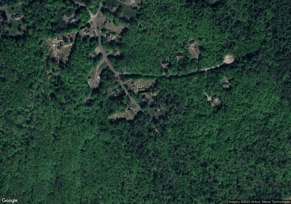
Map
Nearby Homes
- 3 Williston Dr
- 201 West St
- LOT 3 Monson Turnpike Rd
- 19 Chapel St
- 47 North St
- 87 W Main St
- 24 Clinton St
- 7 Webb Ct
- 23 West St Unit 25
- 67 Babcock Tavern Rd
- 748 River St Unit 1
- 77 O'Neil Rd
- Lot 5 Babcock Tavern Rd
- Lot 4 Babcock Tavern Rd
- 3 Church St
- 1711-1723 Ware St
- Lot 16 Coldbrook Dr
- Lot 20 Coldbrook Dr
- Lot 22 Coldbrook Dr
- Lot 13 Coldbrook Dr
Your Personal Tour Guide
Ask me questions while you tour the home.