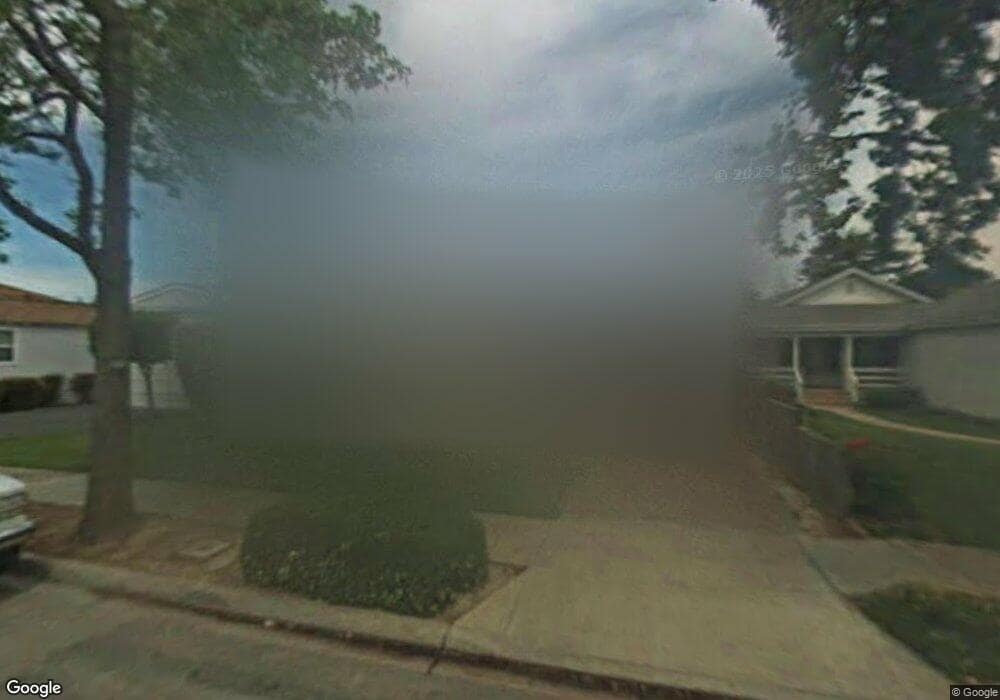
132 Bloomfield Rd Burlingame, CA 94010
Lyon Hoag NeighborhoodEstimated Value: $1,787,000 - $2,879,000
3
Beds
2
Baths
2,160
Sq Ft
$1,085/Sq Ft
Est. Value
About This Home
This home is located at 132 Bloomfield Rd, Burlingame, CA 94010 and is currently estimated at $2,342,607, approximately $1,084 per square foot. 132 Bloomfield Rd is a home located in San Mateo County with nearby schools including Washington Elementary School, Burlingame Intermediate School, and Burlingame High School.
Ownership History
Date
Name
Owned For
Owner Type
Purchase Details
Closed on
Aug 25, 2021
Sold by
Madsen Eloise K and Madsen Family Trust
Bought by
Madsen Eloise K and Eloise K Madsen Survivor S Tru
Current Estimated Value
Purchase Details
Closed on
Jan 8, 2007
Sold by
Madsen Eloise K
Bought by
Madsen Eloise K and Madsen Ronald H
Purchase Details
Closed on
Nov 20, 1997
Sold by
Rush Marianne L
Bought by
Madsen Eloise K
Create a Home Valuation Report for This Property
The Home Valuation Report is an in-depth analysis detailing your home's value as well as a comparison with similar homes in the area
Home Values in the Area
Average Home Value in this Area
Purchase History
| Date | Buyer | Sale Price | Title Company |
|---|---|---|---|
| Madsen Eloise K | -- | None Available | |
| Madsen Eloise K | -- | None Available | |
| Madsen Eloise K | -- | -- | |
| Madsen Eloise K | -- | -- | |
| Rush Marianne L | -- | -- | |
| Rush Marianne L | -- | -- |
Source: Public Records
Tax History
| Year | Tax Paid | Tax Assessment Tax Assessment Total Assessment is a certain percentage of the fair market value that is determined by local assessors to be the total taxable value of land and additions on the property. | Land | Improvement |
|---|---|---|---|---|
| 2025 | $1,628 | $106,215 | $33,079 | $73,136 |
| 2023 | $1,628 | $102,093 | $31,796 | $70,297 |
| 2022 | $1,575 | $100,092 | $31,173 | $68,919 |
| 2021 | $1,570 | $98,130 | $30,562 | $67,568 |
| 2020 | $1,539 | $97,125 | $30,249 | $66,876 |
| 2019 | $1,514 | $95,221 | $29,656 | $65,565 |
| 2018 | $1,489 | $93,355 | $29,075 | $64,280 |
| 2017 | $1,475 | $91,525 | $28,505 | $63,020 |
| 2016 | $2,260 | $89,732 | $27,947 | $61,785 |
| 2015 | $1,411 | $88,385 | $27,528 | $60,857 |
| 2014 | $1,392 | $86,654 | $26,989 | $59,665 |
Source: Public Records
Map
Nearby Homes
- 200 Anita Rd
- 608 Peninsula Ave
- 422 Peninsula Ave
- 871 Woodside Way
- 869 Woodside Way
- 320 Peninsula Ave Unit 316
- 10 Channing Rd
- 215 Victoria Rd
- 1110 Bayswater Ave Unit 106
- 1012 N Humboldt St Unit N
- 815 N Humboldt St Unit 508
- 819 N Humboldt St Unit 407
- 821 N Humboldt St Unit 309
- 833 N Humboldt St Unit 201
- 934 Peninsula Ave Unit 301
- 835 N Humboldt St Unit 203
- 934 Peninsula Ave Unit 411
- 800 N Delaware St Unit 303
- 816 N Delaware St Unit 409
- 800 N Delaware St Unit 310
- 128 Bloomfield Rd
- 617 Howard Ave
- 134 Bloomfield Rd
- 615 Howard Ave
- 124 Bloomfield Rd
- 136 Bloomfield Rd
- 609 Howard Ave
- 120 Bloomfield Rd
- 133 Clarendon Rd
- 129 Clarendon Rd
- 605 Howard Ave
- 701 Howard Ave
- 127 Clarendon Rd
- 116 Bloomfield Rd
- 133 Bloomfield Rd
- 129 Bloomfield Rd
- 141 Clarendon Rd
- 705 Howard Ave
- 123 Bloomfield Rd
- 616 Howard Ave
Your Personal Tour Guide
Ask me questions while you tour the home.