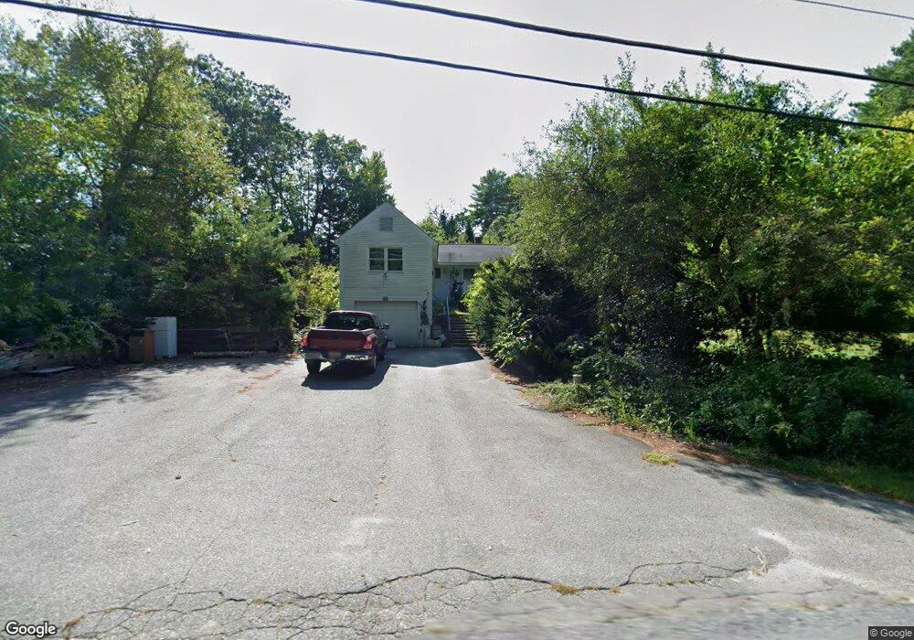
132 Brookline St Pepperell, MA 01463
Estimated Value: $548,744 - $687,000
3
Beds
1
Bath
3,003
Sq Ft
$203/Sq Ft
Est. Value
About This Home
This home is located at 132 Brookline St, Pepperell, MA 01463 and is currently estimated at $608,936, approximately $202 per square foot. 132 Brookline St is a home located in Middlesex County with nearby schools including North Middlesex Regional High School, Pepperell Christian Academy, and Maple Dene & Moppet School.
Ownership History
Date
Name
Owned For
Owner Type
Purchase Details
Closed on
Apr 19, 2006
Sold by
Head Allison A and Smith Paula
Bought by
Head Allison A
Current Estimated Value
Home Financials for this Owner
Home Financials are based on the most recent Mortgage that was taken out on this home.
Original Mortgage
$60,000
Outstanding Balance
$34,500
Interest Rate
6.37%
Mortgage Type
Purchase Money Mortgage
Estimated Equity
$574,436
Create a Home Valuation Report for This Property
The Home Valuation Report is an in-depth analysis detailing your home's value as well as a comparison with similar homes in the area
Home Values in the Area
Average Home Value in this Area
Purchase History
| Date | Buyer | Sale Price | Title Company |
|---|---|---|---|
| Head Allison A | -- | -- |
Source: Public Records
Mortgage History
| Date | Status | Borrower | Loan Amount |
|---|---|---|---|
| Open | Head Allison A | $60,000 |
Source: Public Records
Tax History Compared to Growth
Tax History
| Year | Tax Paid | Tax Assessment Tax Assessment Total Assessment is a certain percentage of the fair market value that is determined by local assessors to be the total taxable value of land and additions on the property. | Land | Improvement |
|---|---|---|---|---|
| 2025 | $6,190 | $423,100 | $168,900 | $254,200 |
| 2024 | $5,840 | $407,000 | $152,800 | $254,200 |
| 2023 | $5,676 | $374,900 | $128,800 | $246,100 |
| 2022 | $5,670 | $330,600 | $128,600 | $202,000 |
| 2021 | $5,473 | $305,400 | $112,600 | $192,800 |
| 2020 | $13,113 | $298,000 | $112,600 | $185,400 |
| 2019 | $4,758 | $286,800 | $112,600 | $174,200 |
| 2018 | $4,438 | $270,800 | $112,600 | $158,200 |
| 2017 | $4,325 | $272,200 | $112,600 | $159,600 |
| 2016 | $3,992 | $241,500 | $112,600 | $128,900 |
| 2015 | $3,775 | $236,700 | $112,600 | $124,100 |
| 2014 | $3,614 | $227,900 | $112,600 | $115,300 |
Source: Public Records
Map
Nearby Homes
- 179 Brookline St
- 10 Boynton St
- 13 Oak Hill St
- 2 Old Farm Ln
- 143 Worcester Rd
- 55 Park St
- 16 Village Rd
- 18 Maple St Unit 30
- 21 Cranberry St
- 84 Irene Dr
- 31 Heald St
- 6 High Oaks Path
- 55 Oak Hill Rd
- 8 Tucker Park Unit D
- 29 Southgate Rd
- 10 Tucker St
- 46 Oak Hill Rd
- 24-A 34-A Dow St
- 80A Nashua Rd
- 102A Nashua Rd
- 134 Brookline St
- 130 Brookline St
- 136 Brookline St
- 138 Brookline St
- 126A Brookline St
- 126 Brookline St
- 126 Brookline St Unit A
- 128 Brookline St
- 128 Brookline St Unit A
- 140 Brookline St
- 137 Brookline St
- 130 Brookline St
- 130 Brookline St Unit A
- 135 Brookline St
- 124 Brookline St
- 129 Brookline St Unit 135
- 144 Brookline St
- 131 Brookline St
- 112 Brookline St
- 118 Brookline St Unit 120