Estimated Value: $401,639 - $507,000
2
Beds
2
Baths
1,842
Sq Ft
$244/Sq Ft
Est. Value
About This Home
This home is located at 132 Cram Rd, Weare, NH 03281 and is currently estimated at $449,910, approximately $244 per square foot. 132 Cram Rd is a home with nearby schools including Center Woods Elementary School, Weare Middle School, and John Stark Regional High School.
Ownership History
Date
Name
Owned For
Owner Type
Purchase Details
Closed on
Jul 16, 2021
Sold by
Andrus Clayton E
Bought by
Andrus Matthew P
Current Estimated Value
Home Financials for this Owner
Home Financials are based on the most recent Mortgage that was taken out on this home.
Original Mortgage
$200,800
Outstanding Balance
$182,195
Interest Rate
2.9%
Mortgage Type
Purchase Money Mortgage
Estimated Equity
$267,715
Purchase Details
Closed on
Jun 2, 2017
Sold by
Andrus Janet R
Bought by
Andrus Clayton E
Purchase Details
Closed on
Jun 14, 2012
Sold by
Andrus Clayton E
Bought by
Andrus Clayton E and Andrus Janet R
Home Financials for this Owner
Home Financials are based on the most recent Mortgage that was taken out on this home.
Original Mortgage
$186,300
Interest Rate
3.85%
Mortgage Type
Purchase Money Mortgage
Create a Home Valuation Report for This Property
The Home Valuation Report is an in-depth analysis detailing your home's value as well as a comparison with similar homes in the area
Home Values in the Area
Average Home Value in this Area
Purchase History
| Date | Buyer | Sale Price | Title Company |
|---|---|---|---|
| Andrus Matthew P | $251,000 | None Available | |
| Andrus Clayton E | -- | -- | |
| Andrus Clayton E | -- | -- |
Source: Public Records
Mortgage History
| Date | Status | Borrower | Loan Amount |
|---|---|---|---|
| Open | Andrus Matthew P | $200,800 | |
| Previous Owner | Andrus Clayton E | $186,300 |
Source: Public Records
Tax History Compared to Growth
Tax History
| Year | Tax Paid | Tax Assessment Tax Assessment Total Assessment is a certain percentage of the fair market value that is determined by local assessors to be the total taxable value of land and additions on the property. | Land | Improvement |
|---|---|---|---|---|
| 2024 | $6,447 | $316,200 | $101,400 | $214,800 |
| 2023 | $5,957 | $316,200 | $101,400 | $214,800 |
| 2022 | $5,502 | $316,200 | $101,400 | $214,800 |
| 2021 | $5,439 | $316,200 | $101,400 | $214,800 |
| 2020 | $5,200 | $217,100 | $71,300 | $145,800 |
| 2019 | $5,147 | $217,100 | $71,300 | $145,800 |
| 2018 | $5,000 | $217,100 | $71,300 | $145,800 |
| 2016 | $4,857 | $217,100 | $71,300 | $145,800 |
| 2015 | $4,838 | $215,900 | $71,200 | $144,700 |
| 2014 | $4,795 | $215,900 | $71,200 | $144,700 |
| 2013 | $4,696 | $215,900 | $71,200 | $144,700 |
Source: Public Records
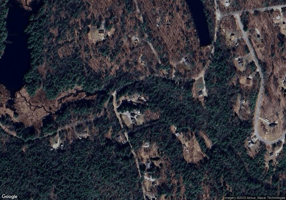
Map
Nearby Homes
- 200 Mountain Rd
- Lot 1-50-1 Colburn Rd
- 238 Old Francestown Rd
- 133 Hay Hill Rd
- 196 Deering Center Rd
- 179 Oak Hill Rd
- Lot 2 Journeys End Rd
- Lot 3 Journeys End Rd
- 252 Clark Hill Rd
- 0 Bible Hill Extension Unit 1
- 450 Weare Rd
- 136 Main St
- 194 Buckley Rd Unit 2
- 194 Buckley Rd Unit 44
- 3 Old County Rd S
- 624 S Stark Hwy
- 103 Renshaw Rd
- 342 Weare Rd
- 281 Hodgdon Rd
- 77 Gould Rd