Estimated Value: $325,000 - $411,076
--
Bed
3
Baths
2,439
Sq Ft
$151/Sq Ft
Est. Value
About This Home
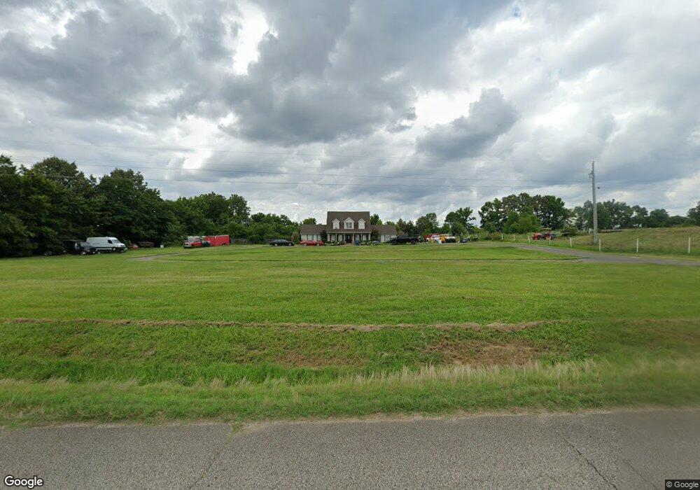
This home is located at 132 Currie Rd, Dyer, TN 38330 and is currently estimated at $368,038, approximately $150 per square foot. 132 Currie Rd is a home located in Gibson County with nearby schools including Dyer Elementary School and Gibson County High School.
Ownership History
Date
Name
Owned For
Owner Type
Purchase Details
Closed on
Nov 27, 2001
Sold by
Parks Joe K and Parks Krista
Bought by
Worrell Roger and Worrell Renee
Current Estimated Value
Purchase Details
Closed on
Jun 2, 2000
Sold by
Davis Jeffrey L
Bought by
Parks Joe K
Purchase Details
Closed on
Jun 3, 1999
Sold by
Davis Jeffrey L and Nee Franklin
Bought by
Wilson Fesmire
Purchase Details
Closed on
Apr 7, 1998
Sold by
Nee Franklin
Bought by
Davis Jeffrey L and Davis Barbara
Purchase Details
Closed on
May 11, 1990
Bought by
Nee Franklin and Nee Sandra
Purchase Details
Closed on
Mar 20, 1962
Bought by
Nee Jerry D
Create a Home Valuation Report for This Property
The Home Valuation Report is an in-depth analysis detailing your home's value as well as a comparison with similar homes in the area
Home Values in the Area
Average Home Value in this Area
Purchase History
| Date | Buyer | Sale Price | Title Company |
|---|---|---|---|
| Worrell Roger | $16,000 | -- | |
| Parks Joe K | $32,725 | -- | |
| Wilson Fesmire | $123,000 | -- | |
| Davis Jeffrey L | $38,750 | -- | |
| Nee Franklin | -- | -- | |
| Nee Jerry D | -- | -- |
Source: Public Records
Tax History Compared to Growth
Tax History
| Year | Tax Paid | Tax Assessment Tax Assessment Total Assessment is a certain percentage of the fair market value that is determined by local assessors to be the total taxable value of land and additions on the property. | Land | Improvement |
|---|---|---|---|---|
| 2024 | $1,981 | $92,275 | $21,375 | $70,900 |
| 2023 | $1,479 | $47,525 | $6,125 | $41,400 |
| 2022 | $1,446 | $47,525 | $6,125 | $41,400 |
| 2021 | $1,446 | $47,525 | $6,125 | $41,400 |
| 2020 | $1,446 | $47,525 | $6,125 | $41,400 |
| 2019 | $1,426 | $46,875 | $6,125 | $40,750 |
| 2018 | $1,465 | $46,375 | $6,125 | $40,250 |
| 2017 | $1,442 | $46,375 | $6,125 | $40,250 |
| 2016 | $1,442 | $46,375 | $6,125 | $40,250 |
| 2015 | -- | $46,375 | $6,125 | $40,250 |
| 2014 | -- | $46,375 | $6,125 | $40,250 |
Source: Public Records
Map
Nearby Homes
- 288 W Broad St
- 173 Orr Rd
- 208 & 210 Lee St
- 246 Thomas St
- 117 Washington St
- 137 W South St
- 0 Royal St
- 0 Reed Rd
- 142 S Poplar St
- 299 E Walnut St
- 205 Division St
- 354 E Maple St
- 00 Old Dyersburg Rd
- 0 Old Dyersburg Rd
- 139 Peach St
- 163 Monroe St
- 23 Gravettes Crossing Rd W
- 548 E College St
- 153 New Hope St
- 106 Scattered Acres Dr