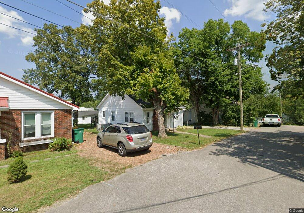
132 E Ewing St Lewisburg, TN 37091
Estimated Value: $102,000 - $147,000
--
Bed
1
Bath
858
Sq Ft
$150/Sq Ft
Est. Value
About This Home
This home is located at 132 E Ewing St, Lewisburg, TN 37091 and is currently estimated at $128,870, approximately $150 per square foot. 132 E Ewing St is a home located in Marshall County with nearby schools including Marshall Elementary School, Oak Grove Elementary School, and Westhills Elementary School.
Ownership History
Date
Name
Owned For
Owner Type
Purchase Details
Closed on
May 14, 2024
Sold by
Mcneese Properties Llc
Bought by
Wright Ronnie D
Current Estimated Value
Purchase Details
Closed on
May 19, 2021
Sold by
Bth Properties Llc
Bought by
Mcneese Properties Llc
Purchase Details
Closed on
Oct 1, 2019
Sold by
Mcneese Brian Allen
Bought by
Bth Properties Llc
Purchase Details
Closed on
Sep 7, 2017
Sold by
Calahan Billy
Bought by
Mcneese Brian
Home Financials for this Owner
Home Financials are based on the most recent Mortgage that was taken out on this home.
Original Mortgage
$320,000
Interest Rate
3.9%
Mortgage Type
Purchase Money Mortgage
Purchase Details
Closed on
Jun 17, 2016
Sold by
Callahan Billy
Bought by
Calahan Billy
Purchase Details
Closed on
Jan 25, 2011
Sold by
Calahan Rodney R
Bought by
Callahan Billy
Purchase Details
Closed on
Aug 31, 2004
Bought by
Calahan Rodney R
Purchase Details
Closed on
Jun 25, 2004
Bought by
Calahan Billy and Calahan Patricia
Purchase Details
Closed on
Feb 10, 1995
Sold by
Wilson Hoyle D
Bought by
Frances Davis Mary
Purchase Details
Closed on
Mar 11, 1992
Bought by
Wilson Hoyle D and Wilson Sara Wilson
Create a Home Valuation Report for This Property
The Home Valuation Report is an in-depth analysis detailing your home's value as well as a comparison with similar homes in the area
Home Values in the Area
Average Home Value in this Area
Purchase History
| Date | Buyer | Sale Price | Title Company |
|---|---|---|---|
| Wright Ronnie D | $100,000 | None Listed On Document | |
| Mcneese Properties Llc | -- | Security Title & Escrow | |
| Bth Properties Llc | -- | -- | |
| Mcneese Brian | $72,000 | -- | |
| Calahan Billy | -- | -- | |
| Callahan Billy | -- | -- | |
| Calahan Rodney R | -- | -- | |
| Calahan Billy | $35,000 | -- | |
| Frances Davis Mary | $30,000 | -- | |
| Wilson Hoyle D | $17,000 | -- |
Source: Public Records
Mortgage History
| Date | Status | Borrower | Loan Amount |
|---|---|---|---|
| Previous Owner | Mcneese Brian | $320,000 |
Source: Public Records
Tax History Compared to Growth
Tax History
| Year | Tax Paid | Tax Assessment Tax Assessment Total Assessment is a certain percentage of the fair market value that is determined by local assessors to be the total taxable value of land and additions on the property. | Land | Improvement |
|---|---|---|---|---|
| 2024 | -- | $13,675 | $1,750 | $11,925 |
| 2023 | $425 | $13,675 | $1,750 | $11,925 |
| 2022 | $425 | $13,675 | $1,750 | $11,925 |
| 2021 | $425 | $9,150 | $1,500 | $7,650 |
| 2020 | $456 | $9,800 | $1,500 | $8,300 |
| 2019 | $442 | $9,800 | $1,500 | $8,300 |
| 2018 | $437 | $9,800 | $1,500 | $8,300 |
| 2017 | $437 | $9,800 | $1,500 | $8,300 |
| 2016 | $462 | $9,025 | $1,500 | $7,525 |
| 2015 | $421 | $9,025 | $1,500 | $7,525 |
| 2014 | $421 | $9,025 | $1,500 | $7,525 |
Source: Public Records
Map
Nearby Homes
- 319 E Hill Ave
- 416 1st Ave N
- 316 Haynes St
- 535 Clayton Ave
- 215 5th Ave N
- 518 Maple St
- 525 Maple St
- 543 2nd Ave N
- 726 Thomas Ave
- 0 New Lake Rd Unit RTC3030964
- 610 Forrest St
- 224 Hardison Ave
- 638 2nd Ave N
- 594 5th Ave N
- 640 6th Ave S
- 755 Center St
- 231 Greenwood St
- 319 Greenwood St
- 627 6th Ave N
- 630 6th Ave N
- 126 E Ewing St
- 138 E Ewing St
- 115 Rutledge Ln
- 133 E Ewing St
- 127 E Ewing St
- 116 E Ewing St
- 112 Belfast St
- 125 E Commerce St
- 122 Belfast St
- 104 Belfast St
- 126 Belfast St
- 121 1st Ave S
- 115 E Commerce St
- 113 S 1st Ave
- 111 1st Ave S
- 119 Belfast St
- 103 1st Ave S
- 3 Belfast St
- 146 E Commerce St
- 101 1st Ave S