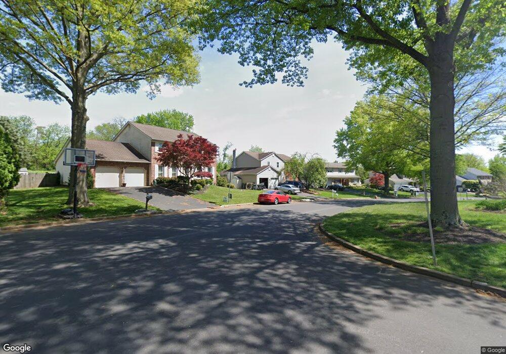
132 Forrest Dr Southampton, PA 18966
Estimated Value: $733,872 - $819,000
4
Beds
3
Baths
2,908
Sq Ft
$264/Sq Ft
Est. Value
About This Home
This home is located at 132 Forrest Dr, Southampton, PA 18966 and is currently estimated at $767,718, approximately $264 per square foot. 132 Forrest Dr is a home located in Bucks County with nearby schools including Hillcrest El School, Holland Middle School, and Council Rock High School - South.
Ownership History
Date
Name
Owned For
Owner Type
Purchase Details
Closed on
Apr 28, 2003
Sold by
Eliason Robert G and Eliason Margaret M
Bought by
Epstein Evan and Epstein Alison M
Current Estimated Value
Home Financials for this Owner
Home Financials are based on the most recent Mortgage that was taken out on this home.
Original Mortgage
$300,000
Outstanding Balance
$131,714
Interest Rate
5.93%
Mortgage Type
Purchase Money Mortgage
Estimated Equity
$636,004
Purchase Details
Closed on
Sep 2, 1986
Bought by
Eliason Robert G and Eliason Margaret M
Create a Home Valuation Report for This Property
The Home Valuation Report is an in-depth analysis detailing your home's value as well as a comparison with similar homes in the area
Home Values in the Area
Average Home Value in this Area
Purchase History
| Date | Buyer | Sale Price | Title Company |
|---|---|---|---|
| Epstein Evan | $375,000 | Lawyers Title Insurance Corp | |
| Eliason Robert G | $131,000 | -- |
Source: Public Records
Mortgage History
| Date | Status | Borrower | Loan Amount |
|---|---|---|---|
| Open | Epstein Evan | $300,000 |
Source: Public Records
Tax History Compared to Growth
Tax History
| Year | Tax Paid | Tax Assessment Tax Assessment Total Assessment is a certain percentage of the fair market value that is determined by local assessors to be the total taxable value of land and additions on the property. | Land | Improvement |
|---|---|---|---|---|
| 2025 | $8,043 | $41,760 | $6,680 | $35,080 |
| 2024 | $8,043 | $41,760 | $6,680 | $35,080 |
| 2023 | $7,581 | $41,760 | $6,680 | $35,080 |
| 2022 | $7,511 | $41,760 | $6,680 | $35,080 |
| 2021 | $7,274 | $41,760 | $6,680 | $35,080 |
| 2020 | $7,110 | $41,760 | $6,680 | $35,080 |
| 2019 | $6,806 | $41,760 | $6,680 | $35,080 |
| 2018 | $6,685 | $41,760 | $6,680 | $35,080 |
| 2017 | $6,427 | $41,760 | $6,680 | $35,080 |
| 2016 | $6,427 | $41,760 | $6,680 | $35,080 |
| 2015 | -- | $41,760 | $6,680 | $35,080 |
| 2014 | -- | $41,760 | $6,680 | $35,080 |
Source: Public Records
Map
Nearby Homes
- 41 Grant Dr
- 6 Rolling Hills Dr
- 15 Penn Cir
- 100 E Holland Rd
- 27 Rocking Horse Way
- 21019 Bennett Place Unit 7
- 24 Standing Tree Cir
- 178 Buckshire Dr
- 270 Rocksville Rd
- 302 Independence Dr
- 52 Dalton Way
- 131 Rocksville Rd
- 6 Springwood Place
- 151 Knox Ct
- 327 Hale Dr Unit 801A
- 6 Windy Knoll Dr
- 139 Heather Valley Rd
- 29 Langhorne Ave
- 147 Watergate Dr
- 15 Dover Place
- 128 Forrest Dr
- 136 Forrest Dr
- 122 Forrest Dr
- 271 Woodlake Dr
- 140 Forrest Dr
- 127 Forrest Dr
- 118 Forrest Dr
- 146 Forrest Dr
- 267 Woodlake Dr
- 149 Forrest Dr
- 30 Black Pine Rd
- 123 Forrest Dr
- 150 Forrest Dr
- 153 Forrest Dr
- 263 Woodlake Dr
- 26 Black Pine Rd
- 272 Woodlake Dr
- 119 Forrest Dr
- 259 Woodlake Dr
- 114 Forrest Dr