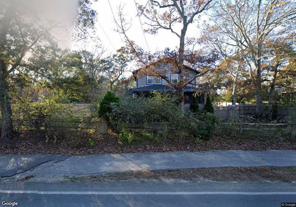
132 Front St Oak Bluffs, MA 02557
Oak Bluffs NeighborhoodEstimated Value: $875,595 - $989,000
3
Beds
2
Baths
986
Sq Ft
$968/Sq Ft
Est. Value
About This Home
This home is located at 132 Front St, Oak Bluffs, MA 02557 and is currently estimated at $954,149, approximately $967 per square foot. 132 Front St is a home with nearby schools including Oak Bluffs Elementary School and Martha's Vineyard Regional High School.
Ownership History
Date
Name
Owned For
Owner Type
Purchase Details
Closed on
Mar 28, 2024
Sold by
Neal Heather L and Yuhas Craig J
Bought by
Heather L Neal 2024 T L and Heather Neal
Current Estimated Value
Create a Home Valuation Report for This Property
The Home Valuation Report is an in-depth analysis detailing your home's value as well as a comparison with similar homes in the area
Home Values in the Area
Average Home Value in this Area
Purchase History
| Date | Buyer | Sale Price | Title Company |
|---|---|---|---|
| Heather L Neal 2024 T L | -- | None Available |
Source: Public Records
Tax History
| Year | Tax Paid | Tax Assessment Tax Assessment Total Assessment is a certain percentage of the fair market value that is determined by local assessors to be the total taxable value of land and additions on the property. | Land | Improvement |
|---|---|---|---|---|
| 2025 | $3,664 | $725,600 | $434,600 | $291,000 |
| 2024 | $3,595 | $687,400 | $395,000 | $292,400 |
| 2023 | $3,576 | $677,300 | $383,800 | $293,500 |
| 2022 | $3,455 | $508,900 | $289,100 | $219,800 |
| 2021 | $3,179 | $431,400 | $234,800 | $196,600 |
| 2020 | $3,021 | $406,100 | $223,600 | $182,500 |
| 2019 | $2,877 | $374,100 | $195,000 | $179,100 |
| 2018 | $2,779 | $354,900 | $176,100 | $178,800 |
| 2017 | $2,631 | $322,800 | $166,900 | $155,900 |
| 2016 | $2,528 | $311,700 | $172,100 | $139,600 |
| 2015 | $2,399 | $301,400 | $172,100 | $129,300 |
| 2014 | $2,418 | $309,600 | $176,700 | $132,900 |
Source: Public Records
Map
Nearby Homes
- 101 Tradewinds Rd
- 28 Barling Ave
- 0 Pennsylvania Ave Unit 43914
- 5 Seth's Path
- 0-A California Ave Unit Part lot 79
- 0-B California Ave Unit Part lot 79
- 0 California Ave Unit 76 42933
- 3 Kims Way
- 54 Columbian Ave
- 7 Upper Meadow Ln
- 70 Carol Ln
- 26 Winthrop Ave
- 0 Heather Ln Unit 11 43465
- 2 Hope's Way Unit 31
- 2 Hope's Way
- 181 Circuit Ave
- 21 Island Inn Rd Unit 39G
- 35 Double Ox Rd
- 35 Double Ox Rd Unit 42
- 63 Bayes Hill Rd
Your Personal Tour Guide
Ask me questions while you tour the home.