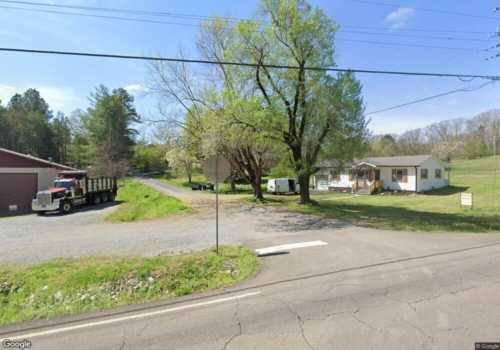
132 Jennings Ln Decatur, TN 37322
Estimated Value: $161,064 - $285,000
--
Bed
2
Baths
1,271
Sq Ft
$168/Sq Ft
Est. Value
About This Home
This home is located at 132 Jennings Ln, Decatur, TN 37322 and is currently estimated at $213,266, approximately $167 per square foot. 132 Jennings Ln is a home located in Meigs County with nearby schools including Meigs County High School.
Ownership History
Date
Name
Owned For
Owner Type
Purchase Details
Closed on
Nov 30, 2001
Sold by
Wilcox Douglas R
Bought by
Bruce Couch
Current Estimated Value
Purchase Details
Closed on
Oct 13, 2001
Bought by
Couch Margaret Etvir Bruce
Purchase Details
Closed on
May 17, 1993
Bought by
Wilcox Douglas and Wilcox Karen
Purchase Details
Closed on
Aug 26, 1977
Bought by
King Leroy and King Kay L
Purchase Details
Closed on
Oct 31, 1975
Create a Home Valuation Report for This Property
The Home Valuation Report is an in-depth analysis detailing your home's value as well as a comparison with similar homes in the area
Home Values in the Area
Average Home Value in this Area
Purchase History
| Date | Buyer | Sale Price | Title Company |
|---|---|---|---|
| Bruce Couch | $277 | -- | |
| Bruce Couch | $277 | -- | |
| Couch Margaret Etvir Bruce | $70,000 | -- | |
| Couch Margaret Etvir Bruce | $70,000 | -- | |
| Wilcox Douglas | $30,000 | -- | |
| Wilcox Douglas | $30,000 | -- | |
| King Leroy | -- | -- | |
| King Leroy | -- | -- | |
| -- | -- | -- | |
| -- | -- | -- |
Source: Public Records
Tax History Compared to Growth
Tax History
| Year | Tax Paid | Tax Assessment Tax Assessment Total Assessment is a certain percentage of the fair market value that is determined by local assessors to be the total taxable value of land and additions on the property. | Land | Improvement |
|---|---|---|---|---|
| 2024 | $524 | $25,775 | $1,975 | $23,800 |
| 2023 | $524 | $25,775 | $1,975 | $23,800 |
| 2022 | $511 | $25,775 | $1,975 | $23,800 |
| 2021 | $511 | $25,775 | $1,975 | $23,800 |
| 2020 | $427 | $25,775 | $1,975 | $23,800 |
| 2019 | $427 | $18,350 | $1,925 | $16,425 |
| 2018 | $427 | $18,350 | $1,925 | $16,425 |
| 2017 | $427 | $18,350 | $1,925 | $16,425 |
| 2016 | $427 | $18,350 | $1,925 | $16,425 |
| 2015 | $414 | $18,350 | $1,925 | $16,425 |
| 2014 | $387 | $17,150 | $1,925 | $15,225 |
Source: Public Records
Map
Nearby Homes
- 4655 State Highway 30 W
- 235 Five Points Rd
- 0 Goodfield Rd
- 00 30 W
- 360 Church Ln
- Lot 38 Dogwood Cir
- 204 Arrants Rd
- 0 Tennessee 58
- 0 River Rd Unit 8 18 10544014
- 0 River Rd Unit 10544010
- 0 River Rd Unit 26 10543996
- 0 River Rd Unit 1514774
- 0 River Rd Unit 1514772
- 0 River Rd Unit 1514769
- 0 River Rd Unit 1506329
- 105 Decatur Cir
- 166 Seals Place
- 115 Seals Ln
- 17716 State Highway 58 N
- 188 Proffitt Hill Ln
- 156 Jennings Ln
- 4805 State Highway 30 W
- 4835 State Highway 30 W
- 4847 Tennessee 30
- 4850 State Highway 30 W
- 4847 State Highway 30 W
- 4751 State Highway 30 W
- 4706 State Highway 30 W
- 4725 State Highway 30 W
- TBD State Highway 30w
- 232 Bill Sneed Ln
- 163 Bill Sneed Ln
- 4898 State Highway 30 W
- 4901 State Highway 30 W
- 150 Bill Sneed Ln
- 162 Bill Sneed Ln
- 222 Bill Sneed Ln
- 4925 State Highway 30 W
- 4935 State Highway 30 W
- 4930 Tennessee 30