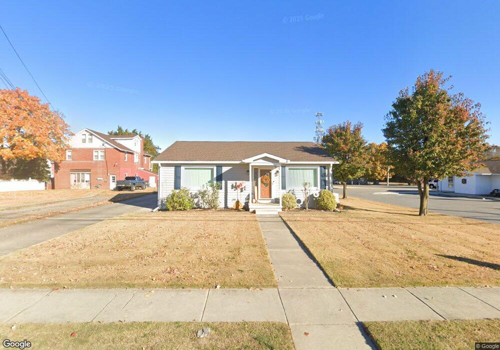
132 Main St Bridgeport, NJ 08014
Logan Township NeighborhoodEstimated Value: $247,234 - $279,000
--
Bed
--
Bath
1,353
Sq Ft
$192/Sq Ft
Est. Value
About This Home
This home is located at 132 Main St, Bridgeport, NJ 08014 and is currently estimated at $259,309, approximately $191 per square foot. 132 Main St is a home located in Gloucester County with nearby schools including Logan Township Elementary School and Frederick Douglass Christian School.
Ownership History
Date
Name
Owned For
Owner Type
Purchase Details
Closed on
Feb 7, 2019
Sold by
Curtis Charles D and The Estate Of Barbara H Curtis
Bought by
Curtis Charles D
Current Estimated Value
Purchase Details
Closed on
Jun 12, 1992
Bought by
Curtis Barbara H
Create a Home Valuation Report for This Property
The Home Valuation Report is an in-depth analysis detailing your home's value as well as a comparison with similar homes in the area
Home Values in the Area
Average Home Value in this Area
Purchase History
| Date | Buyer | Sale Price | Title Company |
|---|---|---|---|
| Curtis Charles D | -- | None Available | |
| Curtis Barbara H | -- | -- |
Source: Public Records
Tax History Compared to Growth
Tax History
| Year | Tax Paid | Tax Assessment Tax Assessment Total Assessment is a certain percentage of the fair market value that is determined by local assessors to be the total taxable value of land and additions on the property. | Land | Improvement |
|---|---|---|---|---|
| 2025 | $3,266 | $251,200 | $35,100 | $216,100 |
| 2024 | $3,156 | $251,200 | $35,100 | $216,100 |
| 2023 | $3,156 | $157,000 | $17,100 | $139,900 |
| 2022 | $3,280 | $157,000 | $17,100 | $139,900 |
| 2021 | $3,410 | $157,000 | $17,100 | $139,900 |
| 2020 | $3,415 | $157,000 | $17,100 | $139,900 |
| 2019 | $3,410 | $157,000 | $17,100 | $139,900 |
| 2018 | $3,316 | $157,000 | $17,100 | $139,900 |
| 2017 | $3,755 | $149,800 | $16,200 | $133,600 |
| 2016 | $3,694 | $149,800 | $16,200 | $133,600 |
| 2015 | $3,266 | $149,800 | $16,200 | $133,600 |
| 2014 | $3,167 | $149,800 | $16,200 | $133,600 |
Source: Public Records
Map
Nearby Homes
- 71 Main St
- 126 Repaupo Station Rd
- 43 45 Repaupo Station Rd
- 788 Paulsboro Rd
- 792 Paulsboro Rd
- 17 Hickory Ln
- 2153 Route 322
- 159 Mill Rd
- 347 Paulsboro Rd
- 752 Duncan Ave
- 132 Tomlin Station Rd
- 112 Carriage Ln
- 12 Parker St
- 803 W Mary St
- 220 Kerlin St
- 157 S Poplar St
- 103 Highland Ave
- 433 Jefferson St
- 223 Jeffrey St
- 222 Byram St