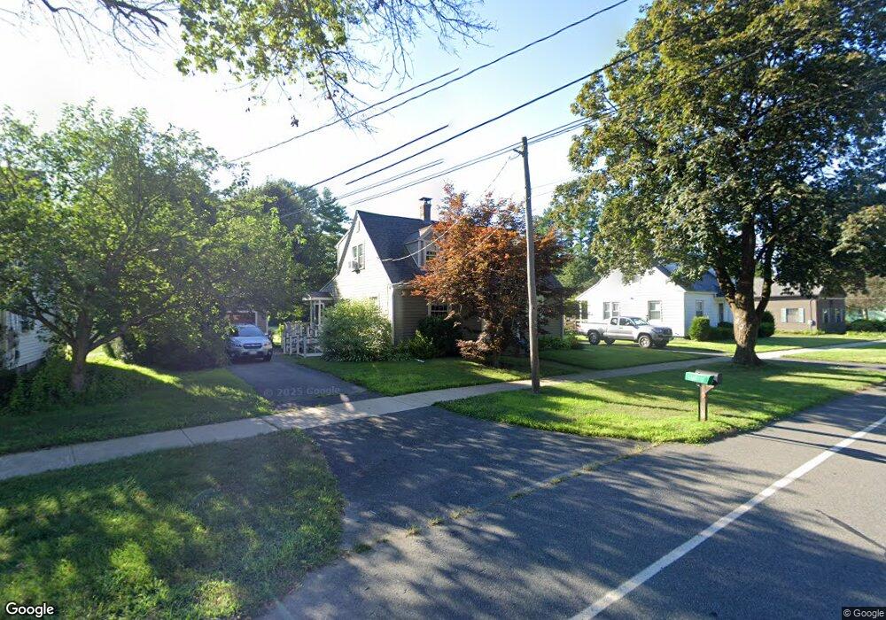
132 Main St Hatfield, MA 01038
Estimated Value: $377,000 - $448,000
3
Beds
1
Bath
1,425
Sq Ft
$289/Sq Ft
Est. Value
About This Home
This home is located at 132 Main St, Hatfield, MA 01038 and is currently estimated at $412,119, approximately $289 per square foot. 132 Main St is a home located in Hampshire County with nearby schools including Hatfield Elementary School and Smith Academy.
Ownership History
Date
Name
Owned For
Owner Type
Purchase Details
Closed on
Mar 1, 1983
Bought by
Mew John A and Mew Susan
Current Estimated Value
Create a Home Valuation Report for This Property
The Home Valuation Report is an in-depth analysis detailing your home's value as well as a comparison with similar homes in the area
Home Values in the Area
Average Home Value in this Area
Purchase History
| Date | Buyer | Sale Price | Title Company |
|---|---|---|---|
| Mew John A | $52,500 | -- |
Source: Public Records
Mortgage History
| Date | Status | Borrower | Loan Amount |
|---|---|---|---|
| Open | Mew John A | $61,000 | |
| Closed | Mew John A | $55,000 | |
| Closed | Mew John A | $47,000 |
Source: Public Records
Tax History
| Year | Tax Paid | Tax Assessment Tax Assessment Total Assessment is a certain percentage of the fair market value that is determined by local assessors to be the total taxable value of land and additions on the property. | Land | Improvement |
|---|---|---|---|---|
| 2025 | $5,330 | $385,100 | $166,300 | $218,800 |
| 2024 | $5,115 | $334,100 | $153,000 | $181,100 |
| 2023 | $4,260 | $316,000 | $144,700 | $171,300 |
| 2022 | $4,045 | $295,900 | $138,000 | $157,900 |
| 2021 | $3,972 | $279,900 | $124,700 | $155,200 |
| 2020 | $3,787 | $279,900 | $124,700 | $155,200 |
| 2019 | $3,593 | $258,700 | $116,400 | $142,300 |
| 2018 | $3,513 | $258,700 | $116,400 | $142,300 |
| 2017 | $3,359 | $254,100 | $116,400 | $137,700 |
| 2016 | $3,315 | $251,500 | $116,400 | $135,100 |
| 2015 | $3,203 | $243,200 | $111,400 | $131,800 |
| 2014 | $3,015 | $238,000 | $111,400 | $126,600 |
Source: Public Records
Map
Nearby Homes
- 58 Main St Unit 4
- 58 Main St Unit 3
- 149 Prospect St
- 0 Straits Rd
- 18 Elm St
- 71 Chestnut St
- 59 N Hatfield Rd
- 14 Hawley Rd
- 27 River Dr
- 121 Rocky Hill Rd
- 11 West St
- Lot 3 Roosevelt St
- 6 E Commons Dr Unit 6
- 0 N Branch Rd
- 211 Russell St
- 3 Frost Ln
- 8 Aloha Dr
- 43 Laurel Park Unit 43
- 26 Russell St Unit A-B
- 128 West St
- 134 Main St
- 130 Main St
- 128 Main St
- 136 Main St
- 129 Main St
- 129 Main St Unit 2nd flr
- 2 King St
- 124 Main St
- 1 King St
- 119 Main St
- 131 Main St Unit 203
- 131 Main St Unit 101
- 131 Main St Unit LL2
- 131 Main St Unit 202
- 131 Main St Unit 201
- 131 Main St Unit 204
- 131 Main St Unit LL6
- 131 Main St Unit LL7
- 131 Main St Unit 2nd flr
- 131 Main St
Your Personal Tour Guide
Ask me questions while you tour the home.