132 Mcdonough Rd Newport, NH 03773
Estimated Value: $414,000 - $547,000
3
Beds
2
Baths
1,304
Sq Ft
$367/Sq Ft
Est. Value
About This Home
This home is located at 132 Mcdonough Rd, Newport, NH 03773 and is currently estimated at $478,644, approximately $367 per square foot. 132 Mcdonough Rd is a home with nearby schools including Richards Elementary School and Newport High School.
Ownership History
Date
Name
Owned For
Owner Type
Purchase Details
Closed on
Oct 18, 2023
Sold by
Boutin Andrew W and Boutin Kathryn
Bought by
Boutin
Current Estimated Value
Purchase Details
Closed on
Oct 6, 2021
Sold by
Mcdonough-Nelson Rebecca and Nelson Bennie C
Bought by
Boutin Andrew W and Boutin Kathryn
Home Financials for this Owner
Home Financials are based on the most recent Mortgage that was taken out on this home.
Original Mortgage
$313,200
Interest Rate
2.8%
Mortgage Type
New Conventional
Create a Home Valuation Report for This Property
The Home Valuation Report is an in-depth analysis detailing your home's value as well as a comparison with similar homes in the area
Home Values in the Area
Average Home Value in this Area
Purchase History
| Date | Buyer | Sale Price | Title Company |
|---|---|---|---|
| Boutin | -- | None Available | |
| Boutin | -- | None Available | |
| Boutin Andrew W | $20,000 | None Available | |
| Boutin Andrew W | $20,000 | None Available |
Source: Public Records
Mortgage History
| Date | Status | Borrower | Loan Amount |
|---|---|---|---|
| Previous Owner | Boutin Andrew W | $313,200 |
Source: Public Records
Tax History Compared to Growth
Tax History
| Year | Tax Paid | Tax Assessment Tax Assessment Total Assessment is a certain percentage of the fair market value that is determined by local assessors to be the total taxable value of land and additions on the property. | Land | Improvement |
|---|---|---|---|---|
| 2024 | $9,508 | $391,100 | $116,400 | $274,700 |
| 2023 | $9,224 | $391,200 | $116,500 | $274,700 |
| 2022 | $5,737 | $274,500 | $116,500 | $158,000 |
| 2021 | $3,409 | $103,300 | $69,700 | $33,600 |
| 2020 | $3,419 | $103,300 | $69,700 | $33,600 |
| 2019 | $3,360 | $103,300 | $69,700 | $33,600 |
| 2018 | $3,140 | $103,300 | $69,700 | $33,600 |
| 2017 | $3,103 | $103,300 | $69,700 | $33,600 |
| 2016 | $2,761 | $96,100 | $59,700 | $36,400 |
| 2015 | $2,811 | $96,100 | $59,700 | $36,400 |
| 2014 | $3,041 | $96,100 | $59,700 | $36,400 |
| 2013 | $2,882 | $96,100 | $59,700 | $36,400 |
Source: Public Records
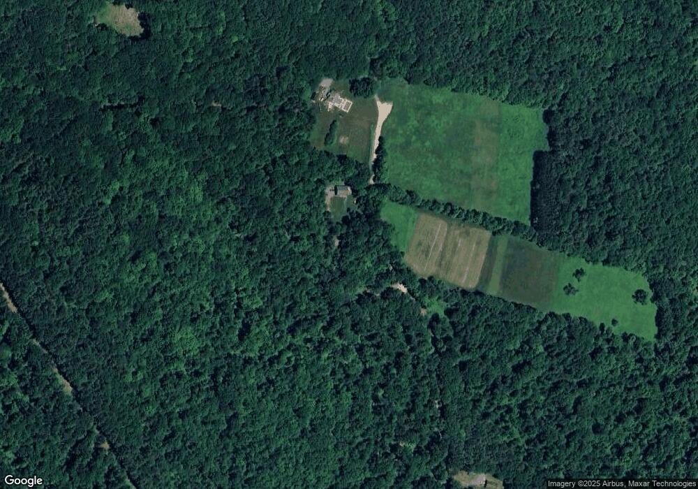
Map
Nearby Homes
- 300 E Green Mountain Rd
- 381 E Green Mountain Rd
- 342 E Green Mountain Rd
- 00 E Green Mountain Rd Unit 13
- 003 E Green Mountain Rd
- 002 E Green Mountain Rd
- 001 E Green Mountain Rd
- 736 John Stark Hwy
- 680-2 John Stark Hwy
- 430 John Stark Hwy
- 225 Sugar River Dr
- 98 & 102 Washington St
- 0 Cat Hole Rd Unit 5052634
- 128 Roberts Hill Rd
- 44 Petrin Heights Rd
- 0 Off First St Unit 60
- 0 Slab City Rd Unit 5036741
- 223 Chestnut St
- 43 Davis St
- 129 Chestnut St
- 152 Mcdonough Rd
- 656 E Green Mountain Rd
- 600 E Green Mountain Rd
- 99 Mcdonough Rd
- 73 Mcdonough Rd
- 50 Mcdonough Rd
- 600 E Green Mountain Rd
- 135 Gove Rd
- 2 Mcdonough Rd
- Lot 80 Old Gove Rd
- 80 Old Gove Rd
- 16 Mcdonough Rd
- 356 Old Newport Rd
- 21 Mcdonough Rd
- 49 Palmay Hill
- 451 E Green Mountain Rd
- 458 E Green Mountain Rd
- 24 Mcdonough Rd
- 3 Mcdonough Rd
- 354 Old Newport Rd