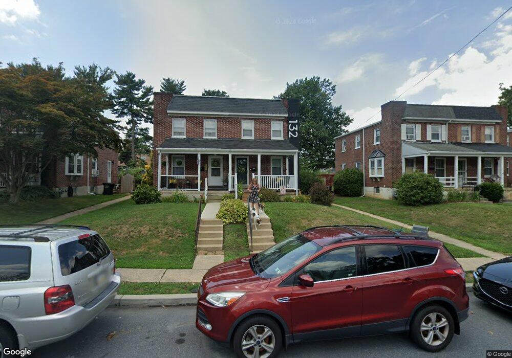
132 Nassau Rd Lancaster, PA 17602
Conestoga Woods NeighborhoodEstimated Value: $239,000 - $273,595
3
Beds
1
Bath
1,122
Sq Ft
$227/Sq Ft
Est. Value
About This Home
This home is located at 132 Nassau Rd, Lancaster, PA 17602 and is currently estimated at $254,899, approximately $227 per square foot. 132 Nassau Rd is a home located in Lancaster County with nearby schools including Burrowes Elementary School, Wickersham Elementary School, and Lincoln Middle School.
Ownership History
Date
Name
Owned For
Owner Type
Purchase Details
Closed on
Sep 22, 2010
Sold by
Harsh Ellen N and Wright Burkholder Ellen N
Bought by
Wright Burkholder Ellen N and Burkholder George E
Current Estimated Value
Home Financials for this Owner
Home Financials are based on the most recent Mortgage that was taken out on this home.
Original Mortgage
$82,400
Outstanding Balance
$54,411
Interest Rate
4.44%
Mortgage Type
New Conventional
Estimated Equity
$200,488
Purchase Details
Closed on
Jul 23, 1999
Sold by
Thomas Leroy E
Bought by
Zercher Steele Michael C and Zercher Steele Tina
Home Financials for this Owner
Home Financials are based on the most recent Mortgage that was taken out on this home.
Original Mortgage
$73,462
Interest Rate
7.49%
Mortgage Type
FHA
Create a Home Valuation Report for This Property
The Home Valuation Report is an in-depth analysis detailing your home's value as well as a comparison with similar homes in the area
Home Values in the Area
Average Home Value in this Area
Purchase History
| Date | Buyer | Sale Price | Title Company |
|---|---|---|---|
| Wright Burkholder Ellen N | -- | None Available | |
| Zercher Steele Michael C | $73,500 | -- |
Source: Public Records
Mortgage History
| Date | Status | Borrower | Loan Amount |
|---|---|---|---|
| Open | Wright Burkholder Ellen N | $82,400 | |
| Closed | Zercher Steele Michael C | $73,462 |
Source: Public Records
Tax History Compared to Growth
Tax History
| Year | Tax Paid | Tax Assessment Tax Assessment Total Assessment is a certain percentage of the fair market value that is determined by local assessors to be the total taxable value of land and additions on the property. | Land | Improvement |
|---|---|---|---|---|
| 2025 | $3,357 | $116,400 | $34,800 | $81,600 |
| 2024 | $3,357 | $116,400 | $34,800 | $81,600 |
| 2023 | $3,279 | $116,400 | $34,800 | $81,600 |
| 2022 | $3,084 | $116,400 | $34,800 | $81,600 |
| 2021 | $2,991 | $116,400 | $34,800 | $81,600 |
| 2020 | $2,991 | $116,400 | $34,800 | $81,600 |
| 2019 | $2,927 | $116,400 | $34,800 | $81,600 |
| 2018 | $2,046 | $116,400 | $34,800 | $81,600 |
| 2017 | $2,720 | $83,200 | $25,000 | $58,200 |
| 2016 | $2,670 | $83,200 | $25,000 | $58,200 |
| 2015 | $361 | $83,200 | $25,000 | $58,200 |
| 2014 | $1,792 | $83,200 | $25,000 | $58,200 |
Source: Public Records
Map
Nearby Homes
- 980 E Orange St
- 1015 E Walnut St
- 1036 E King St
- 911 E King St
- 817 E Orange St
- 728 E End Ave
- 623 E Chestnut St
- 661 Lehigh Ave
- 609 E Chestnut St
- 608 E Marion St
- 620 E King St
- 6 Woodlyn Ct
- 249 N Marshall St
- 610 E Madison St
- 53 S Marshall St
- 604 E End Ave
- 121 S Marshall St
- 528 E Orange St
- 522 E Orange St
- 654 New Holland Ave