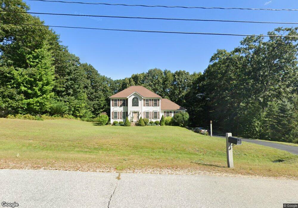
132 Peppermint St Goffstown, NH 03045
Estimated Value: $710,000 - $781,000
3
Beds
3
Baths
2,488
Sq Ft
$299/Sq Ft
Est. Value
About This Home
This home is located at 132 Peppermint St, Goffstown, NH 03045 and is currently estimated at $745,051, approximately $299 per square foot. 132 Peppermint St is a home with nearby schools including Mountain View Middle School and Goffstown High School.
Ownership History
Date
Name
Owned For
Owner Type
Purchase Details
Closed on
Mar 20, 2006
Sold by
All State Builders Inc
Bought by
Lao Jonell S and Lao Pinky P
Current Estimated Value
Home Financials for this Owner
Home Financials are based on the most recent Mortgage that was taken out on this home.
Original Mortgage
$317,655
Interest Rate
6.27%
Mortgage Type
Purchase Money Mortgage
Create a Home Valuation Report for This Property
The Home Valuation Report is an in-depth analysis detailing your home's value as well as a comparison with similar homes in the area
Home Values in the Area
Average Home Value in this Area
Purchase History
| Date | Buyer | Sale Price | Title Company |
|---|---|---|---|
| Lao Jonell S | $397,100 | -- |
Source: Public Records
Mortgage History
| Date | Status | Borrower | Loan Amount |
|---|---|---|---|
| Open | Lao Jonell S | $310,000 | |
| Closed | Lao Jonell S | $317,655 |
Source: Public Records
Tax History
| Year | Tax Paid | Tax Assessment Tax Assessment Total Assessment is a certain percentage of the fair market value that is determined by local assessors to be the total taxable value of land and additions on the property. | Land | Improvement |
|---|---|---|---|---|
| 2025 | $12,275 | $587,900 | $212,000 | $375,900 |
| 2024 | $12,017 | $587,900 | $212,000 | $375,900 |
| 2023 | $11,088 | $587,900 | $212,000 | $375,900 |
| 2022 | $10,111 | $384,300 | $139,600 | $244,700 |
| 2021 | $9,173 | $369,600 | $139,600 | $230,000 |
| 2020 | $2,605 | $369,600 | $139,600 | $230,000 |
| 2019 | $2,465 | $369,600 | $139,600 | $230,000 |
| 2018 | $2,654 | $369,600 | $139,600 | $230,000 |
| 2017 | $8,832 | $322,100 | $116,100 | $206,000 |
| 2016 | $2,322 | $322,100 | $116,100 | $206,000 |
| 2015 | $8,659 | $307,500 | $108,700 | $198,800 |
| 2014 | $8,303 | $307,500 | $108,700 | $198,800 |
Source: Public Records
Map
Nearby Homes
- 237 Woodview Way
- 211 Woodview Way
- 264 Woodview Way
- 163 Woodview Way Unit 2
- 55 Forestedge Way
- 25 Forestedge Way Unit 25
- 78 Woodview Way
- 63 Woodview Way
- 30 Ledgewood Dr
- 11 E Dunbarton Rd
- 19 My Way
- 73 River Ledge Dr
- 179 Donald Dr
- 77 Straw Rd
- 30 Horizon Dr
- 500 E Dunbarton Rd
- 6 Mustang Ct
- 11-1 Chatel Rd
- 0 Mast Rd Unit 49 5054665
- 315 Hackett Hill Rd
- 130 Peppermint St
- 138 Peppermint St
- 127 Peppermint St
- 124 Peppermint St
- 146 Peppermint St
- 143 Peppermint St
- 150 Peppermint St
- 151 Peppermint St
- 118 Peppermint St
- 117 Peppermint St
- 189 Black Brook Rd
- 152 Peppermint St
- 116 Peppermint St
- 211 Black Brook Rd
- 185 Black Brook Rd
- 111 Peppermint St
- 37 Peppermint St
- 156 Peppermint St
- 39 Peppermint St
- 110 Peppermint St
Your Personal Tour Guide
Ask me questions while you tour the home.