132 Pheasant Ridge Dr Montrose, MN 55363
Estimated Value: $333,000 - $348,000
3
Beds
2
Baths
2,222
Sq Ft
$153/Sq Ft
Est. Value
About This Home
This home is located at 132 Pheasant Ridge Dr, Montrose, MN 55363 and is currently estimated at $340,595, approximately $153 per square foot. 132 Pheasant Ridge Dr is a home located in Wright County with nearby schools including Montrose Elementary School, Buffalo Community Middle School, and Buffalo Senior High School.
Ownership History
Date
Name
Owned For
Owner Type
Purchase Details
Closed on
Feb 21, 2020
Sold by
Wyers Timothy J and Kisel Maryna Nikolayevna
Bought by
Wyers Timothy J and Kisel Maryna Nikolayevna
Current Estimated Value
Home Financials for this Owner
Home Financials are based on the most recent Mortgage that was taken out on this home.
Original Mortgage
$252,784
Outstanding Balance
$223,823
Interest Rate
3.6%
Mortgage Type
VA
Estimated Equity
$116,772
Purchase Details
Closed on
Mar 23, 2017
Sold by
Morris Jake
Bought by
Zuccaro Bryan
Purchase Details
Closed on
Sep 29, 2005
Sold by
Hughes Ryan J and Hughes Katie A
Bought by
Morris Jake and Looby Sara Ann
Purchase Details
Closed on
Sep 26, 2002
Sold by
Shade Tree Construction Inc
Bought by
Hughes Ryan J and Goodrie Katie A
Create a Home Valuation Report for This Property
The Home Valuation Report is an in-depth analysis detailing your home's value as well as a comparison with similar homes in the area
Home Values in the Area
Average Home Value in this Area
Purchase History
| Date | Buyer | Sale Price | Title Company |
|---|---|---|---|
| Wyers Timothy J | -- | Authority Title Inc | |
| Wyers Timothy J | $244,000 | Authority Title Inc | |
| Zuccaro Bryan | $198,000 | Partners Title Llc | |
| Morris Jake | $222,000 | -- | |
| Hughes Ryan J | $178,650 | -- |
Source: Public Records
Mortgage History
| Date | Status | Borrower | Loan Amount |
|---|---|---|---|
| Open | Wyers Timothy J | $252,784 |
Source: Public Records
Tax History Compared to Growth
Tax History
| Year | Tax Paid | Tax Assessment Tax Assessment Total Assessment is a certain percentage of the fair market value that is determined by local assessors to be the total taxable value of land and additions on the property. | Land | Improvement |
|---|---|---|---|---|
| 2025 | $3,772 | $313,600 | $65,000 | $248,600 |
| 2024 | $3,620 | $305,000 | $65,000 | $240,000 |
| 2023 | $3,578 | $320,100 | $81,000 | $239,100 |
| 2022 | $3,328 | $292,100 | $72,000 | $220,100 |
| 2021 | $3,264 | $237,000 | $40,000 | $197,000 |
| 2020 | $3,238 | $227,800 | $40,000 | $187,800 |
| 2019 | $2,840 | $222,000 | $0 | $0 |
| 2018 | $2,582 | $184,700 | $0 | $0 |
| 2017 | $2,340 | $169,000 | $0 | $0 |
| 2016 | $2,228 | $0 | $0 | $0 |
| 2015 | $2,184 | $0 | $0 | $0 |
| 2014 | -- | $0 | $0 | $0 |
Source: Public Records
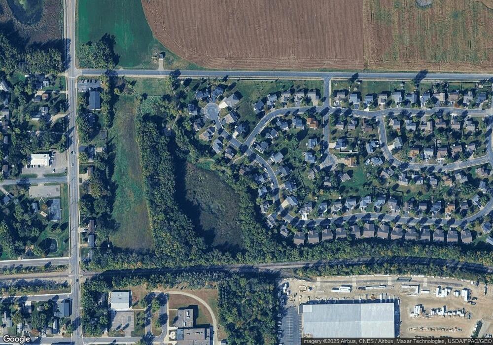
Map
Nearby Homes
- 137 Pheasant Ridge Dr
- 150 Pheasant Ridge Dr
- 426 Dillon Ave N
- 161 Mindy Ln Unit 9
- 149 Mindy Ln
- 301 Center Ave S
- 610 Emerson Ave N
- 517 2nd St S
- 703 7th St N
- 726 7th St N
- 305 Garfield Ave S
- 684 Aspen Ln
- 643 Fieldcrest Ave N
- 683 Aspen Ln
- 690 Aspen Ln
- 685 Aspen Ln
- 645 Fieldcrest Ave N
- 687 Aspen Ln
- 692 Aspen Ln
- 689 Aspen Ln
- 134 Pheasant Ridge Dr
- 136 Pheasant Ridge Dr
- 200 Quail Dr
- 128 Pheasant Ridge Dr
- 133 Pheasant Ridge Dr
- 135 Pheasant Ridge Dr
- 138 Pheasant Ridge Dr
- 127 Pheasant Ridge Dr
- 202 Quail Dr
- 126 Pheasant Ridge Dr
- 125 Pheasant Ridge Dr
- 139 Pheasant Ridge Dr
- 140 Pheasant Ridge Dr
- 204 Pheasant Run Dr
- 206 Pheasant Run Dr
- 124 Pheasant Ridge Dr
- 206 Quail Dr
- 145 Pheasant Ridge Dr
- 201 Quail Dr
- 142 Pheasant Ridge Dr