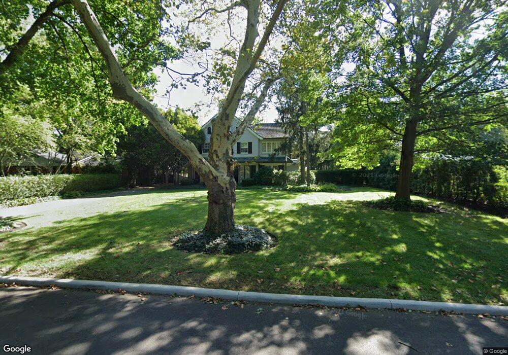
132 Preston Rd Columbus, OH 43209
Estimated Value: $1,468,689 - $1,782,000
6
Beds
5
Baths
5,317
Sq Ft
$303/Sq Ft
Est. Value
About This Home
This home is located at 132 Preston Rd, Columbus, OH 43209 and is currently estimated at $1,613,422, approximately $303 per square foot. 132 Preston Rd is a home located in Franklin County with nearby schools including Ohio Avenue Elementary School, Champion Middle School, and East High School.
Ownership History
Date
Name
Owned For
Owner Type
Purchase Details
Closed on
Jun 11, 2021
Sold by
Buckles Andre M
Bought by
Buckles Andre M and Buckles Pamela Stephens
Current Estimated Value
Purchase Details
Closed on
Nov 11, 2004
Sold by
Buckles Andre M and The Andre M Buckles Qualified
Bought by
Buckles Andre M
Create a Home Valuation Report for This Property
The Home Valuation Report is an in-depth analysis detailing your home's value as well as a comparison with similar homes in the area
Home Values in the Area
Average Home Value in this Area
Purchase History
| Date | Buyer | Sale Price | Title Company |
|---|---|---|---|
| Buckles Andre M | -- | None Available | |
| Buckles Andre M | -- | -- |
Source: Public Records
Tax History Compared to Growth
Tax History
| Year | Tax Paid | Tax Assessment Tax Assessment Total Assessment is a certain percentage of the fair market value that is determined by local assessors to be the total taxable value of land and additions on the property. | Land | Improvement |
|---|---|---|---|---|
| 2024 | $20,557 | $457,070 | $129,360 | $327,710 |
| 2023 | $20,445 | $457,065 | $129,360 | $327,705 |
| 2022 | $17,909 | $341,530 | $73,990 | $267,540 |
| 2021 | $17,791 | $341,530 | $73,990 | $267,540 |
| 2020 | $18,209 | $341,530 | $73,990 | $267,540 |
| 2019 | $19,307 | $310,490 | $67,270 | $243,220 |
| 2018 | $17,062 | $310,490 | $67,270 | $243,220 |
| 2017 | $18,393 | $310,490 | $67,270 | $243,220 |
| 2016 | $17,568 | $272,450 | $66,820 | $205,630 |
| 2015 | $15,907 | $272,450 | $66,820 | $205,630 |
| 2014 | $15,946 | $272,450 | $66,820 | $205,630 |
| 2013 | $7,815 | $272,440 | $66,815 | $205,625 |
Source: Public Records
Map
Nearby Homes
- 57 Preston Rd
- 211 Preston Rd
- 419 Westland Ave
- 2430 Plymouth Ave
- 2455 Dale Ave
- 1833 Franklin Ave
- 268 S Cassady Ave
- 2350 Bryden Rd
- 1825-1827 Bryden Rd
- 1714 Oak St
- 2425 Bryden Rd
- 1880 Greenway Ave S
- 1669-1671 Oak St
- 1000 S Dawson Ave Unit 302
- 1872 Greenway Ave S
- 1692 Bryden Rd
- 2629 E Broad St
- 1779 E Main St
- 395-397 Stoddart Ave
- 34 Woodland Ave
- 126 Preston Rd
- 150 Preston Rd
- 116 Preston Rd
- 162 Preston Rd
- 151 S Parkview Ave
- 161 S Parkview Ave
- 135 Preston Rd
- 135 S Parkview Ave
- 98 Preston Rd
- 176 Preston Rd
- 173 S Parkview Ave
- 105 Preston Rd
- 121 S Parkview Ave
- 159 Preston Rd
- 86 Preston Rd
- 99 Preston Rd
- 190 Preston Rd
- 105 S Parkview Ave
- 195 S Parkview Ave
- 185 Preston Rd