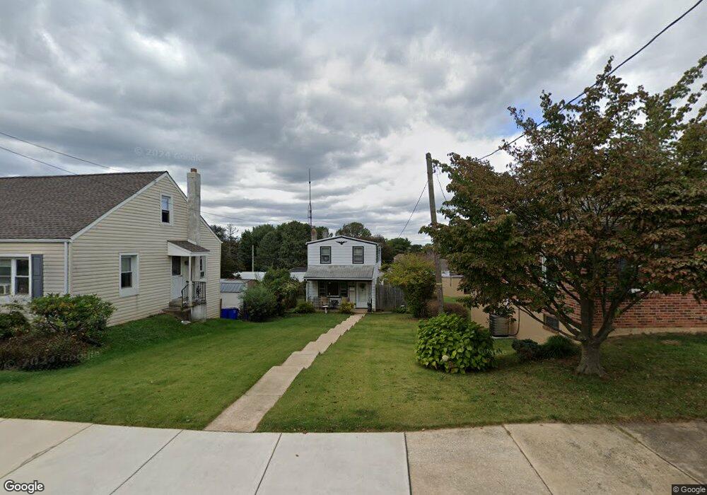
132 S Charles St Dallastown, PA 17313
Estimated Value: $182,048 - $200,000
3
Beds
1
Bath
1,152
Sq Ft
$164/Sq Ft
Est. Value
About This Home
This home is located at 132 S Charles St, Dallastown, PA 17313 and is currently estimated at $188,762, approximately $163 per square foot. 132 S Charles St is a home located in York County with nearby schools including Dallastown Elementary School, Dallastown Area Middle School, and Dallastown Area High School.
Ownership History
Date
Name
Owned For
Owner Type
Purchase Details
Closed on
Dec 7, 1994
Sold by
Taylor Beverly A
Bought by
Grant Beverly Ann and Bobby Gene
Current Estimated Value
Purchase Details
Closed on
Aug 2, 1990
Bought by
Taylor Beverly A
Create a Home Valuation Report for This Property
The Home Valuation Report is an in-depth analysis detailing your home's value as well as a comparison with similar homes in the area
Home Values in the Area
Average Home Value in this Area
Purchase History
| Date | Buyer | Sale Price | Title Company |
|---|---|---|---|
| Grant Beverly Ann | -- | -- | |
| Taylor Beverly A | -- | -- |
Source: Public Records
Tax History Compared to Growth
Tax History
| Year | Tax Paid | Tax Assessment Tax Assessment Total Assessment is a certain percentage of the fair market value that is determined by local assessors to be the total taxable value of land and additions on the property. | Land | Improvement |
|---|---|---|---|---|
| 2025 | $2,855 | $82,190 | $19,790 | $62,400 |
| 2024 | $2,855 | $82,190 | $19,790 | $62,400 |
| 2023 | $2,855 | $82,190 | $19,790 | $62,400 |
| 2022 | $2,764 | $82,190 | $19,790 | $62,400 |
| 2021 | $2,606 | $82,190 | $19,790 | $62,400 |
| 2020 | $2,606 | $82,190 | $19,790 | $62,400 |
| 2019 | $2,598 | $82,190 | $19,790 | $62,400 |
| 2018 | $2,598 | $82,190 | $19,790 | $62,400 |
| 2017 | $2,497 | $82,190 | $19,790 | $62,400 |
| 2016 | $0 | $82,190 | $19,790 | $62,400 |
| 2015 | -- | $82,190 | $19,790 | $62,400 |
| 2014 | -- | $82,190 | $19,790 | $62,400 |
Source: Public Records
Map
Nearby Homes
- 18 E Howard St
- 117 S Park St
- 430 E Maple St
- 263 W Main St
- 1 N Duke St
- 53 S Franklin St
- 705 Summit Dr
- 79 S Franklin St
- 197 S Main St
- 74 S Main St
- 630 Woodland Ave
- 0 Lot 15 Gary Dr
- 141 W Water St
- 260 Country Ridge Dr
- 250 Country Ridge Dr
- 227 Jutland Way
- 2981 Sunset Dr
- 126 Country Ridge Dr
- 175 Country Ridge Dr
- 114 Heather Glen Dr
- 140 S Charles St
- 142 S Charles St
- 144 S Charles St
- 146 S Charles St
- 50 E Queen St
- 148 S Charles St
- 118 S Charles St
- 150 S Charles St
- 145 S Charles St
- 147 S Charles St
- 149 S Charles St
- 153 S Charles St
- 157 S Charles St
- 200 S Charles St
- 202 S Charles St
- 159 S Charles St
- 204 S Charles St
- 181 Devers St
- 171 Devers St
- 191 Devers St