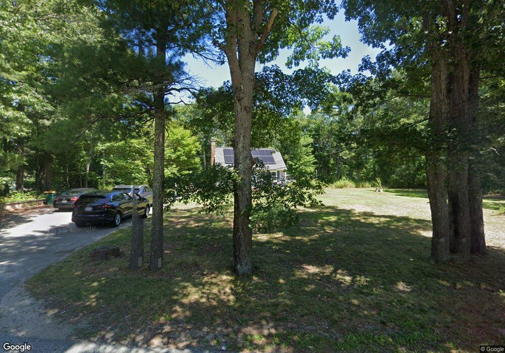
132 S Main St Carver, MA 02330
Estimated Value: $521,000 - $563,000
4
Beds
2
Baths
1,408
Sq Ft
$381/Sq Ft
Est. Value
About This Home
This home is located at 132 S Main St, Carver, MA 02330 and is currently estimated at $537,113, approximately $381 per square foot. 132 S Main St is a home located in Plymouth County with nearby schools including Carver Elementary School and Carver Middle/High School.
Ownership History
Date
Name
Owned For
Owner Type
Purchase Details
Closed on
Dec 14, 2018
Sold by
Felaccio Deborah
Bought by
Beaulieu Sean P and Beaulieu Lauren H
Current Estimated Value
Home Financials for this Owner
Home Financials are based on the most recent Mortgage that was taken out on this home.
Original Mortgage
$142,500
Outstanding Balance
$125,546
Interest Rate
4.8%
Mortgage Type
New Conventional
Estimated Equity
$411,567
Create a Home Valuation Report for This Property
The Home Valuation Report is an in-depth analysis detailing your home's value as well as a comparison with similar homes in the area
Home Values in the Area
Average Home Value in this Area
Purchase History
| Date | Buyer | Sale Price | Title Company |
|---|---|---|---|
| Beaulieu Sean P | $150,000 | -- |
Source: Public Records
Mortgage History
| Date | Status | Borrower | Loan Amount |
|---|---|---|---|
| Open | Beaulieu Sean P | $142,500 |
Source: Public Records
Tax History Compared to Growth
Tax History
| Year | Tax Paid | Tax Assessment Tax Assessment Total Assessment is a certain percentage of the fair market value that is determined by local assessors to be the total taxable value of land and additions on the property. | Land | Improvement |
|---|---|---|---|---|
| 2025 | $5,831 | $420,400 | $128,900 | $291,500 |
| 2024 | $5,505 | $388,500 | $126,400 | $262,100 |
| 2023 | $5,331 | $365,400 | $126,400 | $239,000 |
| 2022 | $5,173 | $323,700 | $114,000 | $209,700 |
| 2021 | $4,931 | $291,100 | $101,800 | $189,300 |
| 2020 | $4,614 | $268,400 | $95,200 | $173,200 |
| 2019 | $4,491 | $263,400 | $92,400 | $171,000 |
| 2018 | $4,602 | $239,800 | $92,400 | $147,400 |
| 2017 | $4,051 | $229,000 | $88,900 | $140,100 |
| 2016 | $3,682 | $216,200 | $80,200 | $136,000 |
| 2015 | $3,582 | $210,600 | $80,200 | $130,400 |
| 2014 | $3,473 | $204,200 | $95,700 | $108,500 |
Source: Public Records
Map
Nearby Homes
- 5 Seipet St
- 14 Wareham St
- 28 Wareham St
- Lot 11 Indian St
- Lot 10 Indian St
- 2 Rochester Rd
- 19 Pine Ridge Way
- 1 Rochester Rd
- 3 Rochester Rd
- 48 Wareham St
- 31 Presidents Way
- 29 Pipers Way
- 8 Jefferson Way
- 6 Jefferson Way
- 56 Cranberry Rd
- 28 S Main St
- 10 Roosevelt Ridge
- 50 Kennedy Dr
- 28 Washington Park
- Lot 2 Ohana Way
- 130 S Main St
- 134 S Main St
- 138 S Main St
- 135 S Main St
- 136 S Main St
- 128 S Main St Unit F
- 128 S Main St Unit A
- 128 S Main St
- 128 S Main St Unit BB
- 128 S Main St Unit AA
- 131 S Main St
- 140 S Main St
- 142 S Main St
- 143 S Main St
- 144 S Main St
- 7 Church St
- 7 Church St Unit 2
- 7 Church St Unit 1
- 7 Church St Unit 7
- 7 Church St Unit B