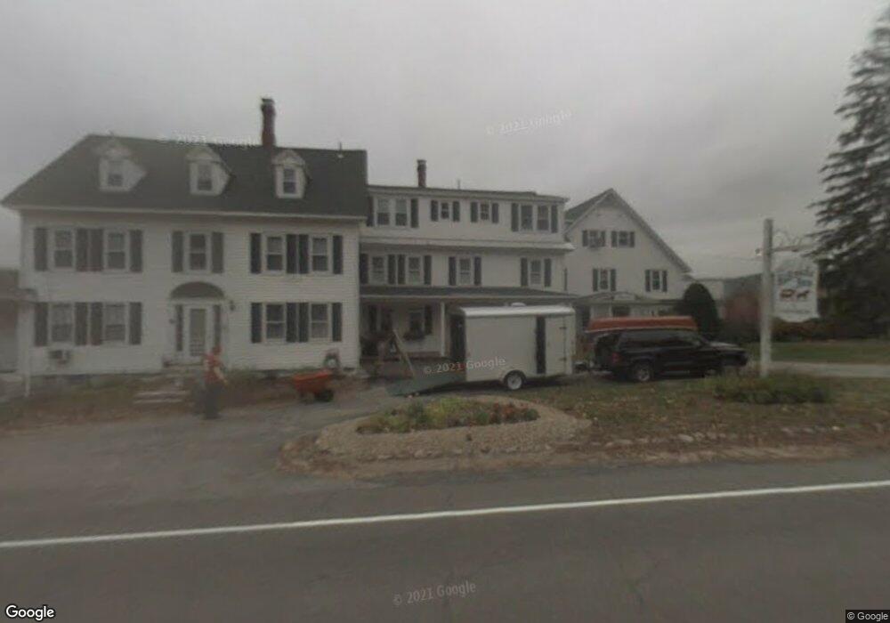
132 S Mayhew Turnpike Unit 2 Hebron, NH 03241
Estimated Value: $342,316 - $409,000
1
Bed
2
Baths
744
Sq Ft
$509/Sq Ft
Est. Value
About This Home
This home is located at 132 S Mayhew Turnpike Unit 2, Hebron, NH 03241 and is currently estimated at $378,829, approximately $509 per square foot. 132 S Mayhew Turnpike Unit 2 is a home located in Grafton County with nearby schools including Bridgewater-Hebron Village School.
Ownership History
Date
Name
Owned For
Owner Type
Purchase Details
Closed on
Oct 22, 2024
Sold by
Miller Emily R and Miller John T
Bought by
Miller Emily R and Miller John T
Current Estimated Value
Purchase Details
Closed on
Oct 25, 2019
Sold by
Uberti Ronald
Bought by
Miller Emily R and Miller John T
Home Financials for this Owner
Home Financials are based on the most recent Mortgage that was taken out on this home.
Original Mortgage
$157,500
Interest Rate
3.5%
Mortgage Type
Purchase Money Mortgage
Create a Home Valuation Report for This Property
The Home Valuation Report is an in-depth analysis detailing your home's value as well as a comparison with similar homes in the area
Home Values in the Area
Average Home Value in this Area
Purchase History
| Date | Buyer | Sale Price | Title Company |
|---|---|---|---|
| Miller Emily R | -- | None Available | |
| Miller Emily R | $175,000 | -- |
Source: Public Records
Mortgage History
| Date | Status | Borrower | Loan Amount |
|---|---|---|---|
| Previous Owner | Miller Emily R | $157,500 |
Source: Public Records
Tax History Compared to Growth
Tax History
| Year | Tax Paid | Tax Assessment Tax Assessment Total Assessment is a certain percentage of the fair market value that is determined by local assessors to be the total taxable value of land and additions on the property. | Land | Improvement |
|---|---|---|---|---|
| 2024 | $1,947 | $278,500 | $0 | $278,500 |
| 2023 | $1,777 | $278,500 | $0 | $278,500 |
| 2022 | $1,902 | $278,500 | $0 | $278,500 |
| 2021 | $1,816 | $278,500 | $0 | $278,500 |
| 2020 | $1,486 | $154,800 | $0 | $154,800 |
| 2019 | $1,500 | $154,800 | $0 | $154,800 |
| 2018 | $1,294 | $154,800 | $0 | $154,800 |
| 2017 | $1,384 | $154,800 | $0 | $154,800 |
| 2016 | $1,288 | $154,800 | $0 | $154,800 |
| 2015 | $1,078 | $135,400 | $0 | $135,400 |
| 2014 | $1,108 | $135,400 | $0 | $135,400 |
| 2013 | $1,084 | $134,700 | $0 | $134,700 |
Source: Public Records
Map
Nearby Homes
- 10 Merrill Rd
- 431 George Rd
- 497 W Shore Rd
- Lot 26 Skyline Dr
- 0 Skyline Dr Unit 19
- 00 Ledgewood Cir Unit 7
- 4 Birchwood Dr Unit A
- 33 Winterberry Ln
- 613 Mayhew Turnpike Unit 227-024 & 227-023
- 862 Mayhew Turnpike Unit 1
- 114 Ledgewood Terrace
- 171 Bell Rd
- 76 Davis Rd Unit 3
- 154 Bell Rd
- 199 Cottage City Rd
- 40 Adams Rd
- 341 Perkins Hill Rd
- 383 Wulamat Rd
- 301 Perkins Hill Rd
- 1678 Fowler River Rd
- 110 S Mayhew Turnpike
- 132 S Mayhew Turnpike Unit 14
- 132 S Mayhew Turnpike Unit 13
- 132 S Mayhew Turnpike Unit 12
- 132 S Mayhew Turnpike Unit 11
- 132 S Mayhew Turnpike Unit 10
- 132 S Mayhew Turnpike Unit 9
- 132 S Mayhew Turnpike Unit 8
- 132 S Mayhew Turnpike Unit 7
- 132 S Mayhew Turnpike Unit 6
- 132 S Mayhew Turnpike Unit 5
- 132 S Mayhew Turnpike Unit 4
- 132 S Mayhew Turnpike Unit 3
- 132 S Mayhew Turnpike Unit 1
- 2 Brooks Cir
- 31 Hillside Dr
- 145 S Mayhew Turnpike
- 1756 S Mayhew Turnpike
- 520 Pike Hill Rd
- 14 Brooks Cir