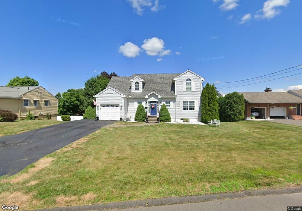
132 Southwell Rd Wethersfield, CT 06109
Estimated Value: $522,000 - $592,000
3
Beds
3
Baths
1,947
Sq Ft
$281/Sq Ft
Est. Value
About This Home
This home is located at 132 Southwell Rd, Wethersfield, CT 06109 and is currently estimated at $547,842, approximately $281 per square foot. 132 Southwell Rd is a home located in Hartford County with nearby schools including Emerson-Williams School, Silas Deane Middle School, and Wethersfield High School.
Ownership History
Date
Name
Owned For
Owner Type
Purchase Details
Closed on
Mar 11, 2020
Sold by
Breglio Susan C
Bought by
Breglio Susan C and Breglio John T
Current Estimated Value
Purchase Details
Closed on
May 10, 2002
Sold by
New Britain Ave Llc
Bought by
Breglio John T and Breglio Susan C
Home Financials for this Owner
Home Financials are based on the most recent Mortgage that was taken out on this home.
Original Mortgage
$150,000
Interest Rate
6%
Purchase Details
Closed on
Jun 8, 2001
Sold by
Rady Charles H
Bought by
New Britain Ave Llc
Create a Home Valuation Report for This Property
The Home Valuation Report is an in-depth analysis detailing your home's value as well as a comparison with similar homes in the area
Home Values in the Area
Average Home Value in this Area
Purchase History
| Date | Buyer | Sale Price | Title Company |
|---|---|---|---|
| Breglio Susan C | -- | None Available | |
| Breglio John T | $241,450 | -- | |
| New Britain Ave Llc | $65,000 | -- |
Source: Public Records
Mortgage History
| Date | Status | Borrower | Loan Amount |
|---|---|---|---|
| Previous Owner | New Britain Ave Llc | $250,000 | |
| Previous Owner | New Britain Ave Llc | $50,000 | |
| Previous Owner | New Britain Ave Llc | $75,000 | |
| Previous Owner | New Britain Ave Llc | $150,000 |
Source: Public Records
Tax History Compared to Growth
Tax History
| Year | Tax Paid | Tax Assessment Tax Assessment Total Assessment is a certain percentage of the fair market value that is determined by local assessors to be the total taxable value of land and additions on the property. | Land | Improvement |
|---|---|---|---|---|
| 2025 | $14,049 | $340,830 | $93,800 | $247,030 |
| 2024 | $9,283 | $214,790 | $72,030 | $142,760 |
| 2023 | $8,974 | $214,790 | $72,030 | $142,760 |
| 2022 | $8,824 | $214,790 | $72,030 | $142,760 |
| 2021 | $8,736 | $214,790 | $72,030 | $142,760 |
| 2020 | $8,740 | $214,790 | $72,030 | $142,760 |
| 2019 | $8,751 | $214,790 | $72,030 | $142,760 |
| 2018 | $8,711 | $213,600 | $70,700 | $142,900 |
| 2017 | $8,495 | $213,600 | $70,700 | $142,900 |
| 2016 | $8,232 | $213,600 | $70,700 | $142,900 |
| 2015 | $8,157 | $213,600 | $70,700 | $142,900 |
| 2014 | $7,848 | $213,600 | $70,700 | $142,900 |
Source: Public Records
Map
Nearby Homes
- 126 Southwell Rd
- 140 Southwell Rd
- 129 Jameswell Rd
- 121 Jameswell Rd
- 135 Jameswell Rd
- 118 Southwell Rd
- 131 Southwell Rd
- 139 Southwell Rd
- 288 Dale Rd
- 113 Jameswell Rd
- 125 Southwell Rd
- 280 Dale Rd
- 302 Dale Rd
- 119 Southwell Rd
- 110 Southwell Rd
- 107 Jameswell Rd
- 132 Jameswell Rd
- 126 Jameswell Rd
- 138 Jameswell Rd
- 120 Jameswell Rd