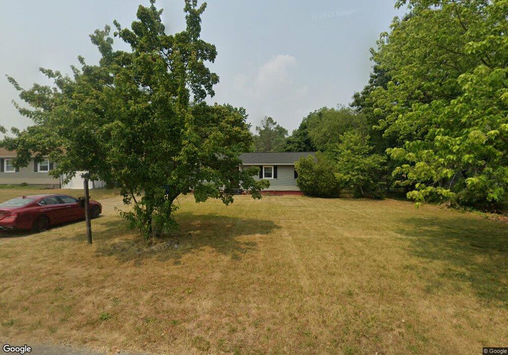
132 Turner St Clayton, NJ 08312
Estimated Value: $246,000 - $320,000
3
Beds
1
Bath
1,092
Sq Ft
$267/Sq Ft
Est. Value
About This Home
This home is located at 132 Turner St, Clayton, NJ 08312 and is currently estimated at $291,688, approximately $267 per square foot. 132 Turner St is a home located in Gloucester County with nearby schools including Herma S. Simmons Elementary School, Clayton Middle School, and Clayton High School.
Ownership History
Date
Name
Owned For
Owner Type
Purchase Details
Closed on
Jun 11, 2018
Sold by
Truster Gerald J
Bought by
Baginski Dariusz
Current Estimated Value
Home Financials for this Owner
Home Financials are based on the most recent Mortgage that was taken out on this home.
Interest Rate
4.54%
Purchase Details
Closed on
Feb 21, 2018
Sold by
Propel Financial Services Llc
Bought by
Truster Gerald J
Purchase Details
Closed on
May 23, 2017
Sold by
Us Bank Custodian Pfs Financiial 1 Llc
Bought by
Rio Prop Holdings Llc
Create a Home Valuation Report for This Property
The Home Valuation Report is an in-depth analysis detailing your home's value as well as a comparison with similar homes in the area
Home Values in the Area
Average Home Value in this Area
Purchase History
| Date | Buyer | Sale Price | Title Company |
|---|---|---|---|
| Baginski Dariusz | $38,100 | -- | |
| Truster Gerald J | $34,500 | Land Title Corporation | |
| Rio Prop Holdings Llc | -- | None Available |
Source: Public Records
Mortgage History
| Date | Status | Borrower | Loan Amount |
|---|---|---|---|
| Closed | Baginski Dariusz | -- |
Source: Public Records
Tax History Compared to Growth
Tax History
| Year | Tax Paid | Tax Assessment Tax Assessment Total Assessment is a certain percentage of the fair market value that is determined by local assessors to be the total taxable value of land and additions on the property. | Land | Improvement |
|---|---|---|---|---|
| 2025 | $6,915 | $279,400 | $93,300 | $186,100 |
| 2024 | $5,912 | $279,400 | $93,300 | $186,100 |
| 2023 | $5,912 | $146,300 | $53,400 | $92,900 |
| 2022 | $5,848 | $146,300 | $53,400 | $92,900 |
| 2021 | $5,691 | $146,300 | $53,400 | $92,900 |
| 2020 | $5,789 | $146,300 | $53,400 | $92,900 |
| 2019 | $5,691 | $146,300 | $53,400 | $92,900 |
| 2018 | $5,611 | $146,300 | $53,400 | $92,900 |
| 2017 | $5,516 | $146,300 | $53,400 | $92,900 |
| 2016 | $5,457 | $146,300 | $53,400 | $92,900 |
| 2015 | $5,296 | $146,300 | $53,400 | $92,900 |
| 2014 | $5,112 | $146,300 | $53,400 | $92,900 |
Source: Public Records
Map
Nearby Homes
- 510 Coleman Dr
- 320 E Clayton Ave
- 13 W Dehart Ave
- 35 W Dehart Ave
- 7 Hawthorn Way
- 6 Dubois Ave
- 216 E Howard St
- 338 Sugar Hill Dr
- 807 N New St
- 125 W Clayton Ave
- 170 S Dennis Dr
- 180 S Dennis Dr
- 237 S Delsea Dr
- 131 W Clinton St
- 124 W Howard St
- 238 W Center St
- 100 Aura Rd Unit 112
- 100 Aura Rd Unit 212
- 100 Aura Rd Unit 311
- 100 Aura Rd Unit 111
- 110 Turner St
- 156 Turner St
- 409 E High St
- 419 E High St
- 102 Turner St
- 305 Wilson Ave
- 00A Dubois Ave
- 00B Dubois Ave
- 1324 Willow St
- L:3 & 4 Market St
- L:2 Lincoln Blvd
- L: 2 &3 Market St
- 227 7th Ave
- L:7 Delsea Dr
- L:20-21 Hill St
- L: 7 Delsea Dr
- 00 Dehart Ave
- L; 4.01 Carvin St
- 296 Fries Mill Rd
- 220 7th Ave