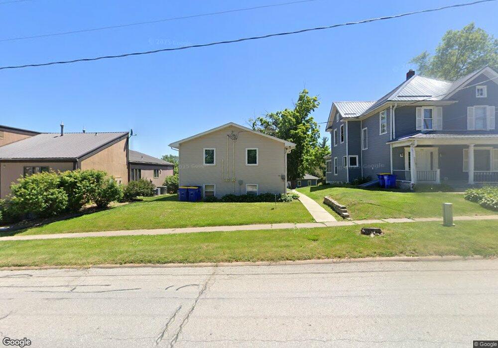
132 W Main St West Branch, IA 52358
Estimated Value: $147,000 - $193,000
4
Beds
2
Baths
884
Sq Ft
$192/Sq Ft
Est. Value
About This Home
This home is located at 132 W Main St, West Branch, IA 52358 and is currently estimated at $169,585, approximately $191 per square foot. 132 W Main St is a home located in Cedar County with nearby schools including Hoover Elementary School, West Branch Middle School, and West Branch High School.
Ownership History
Date
Name
Owned For
Owner Type
Purchase Details
Closed on
May 20, 2013
Sold by
Estate Of Carol J Secrest
Bought by
Hierseman John P
Current Estimated Value
Create a Home Valuation Report for This Property
The Home Valuation Report is an in-depth analysis detailing your home's value as well as a comparison with similar homes in the area
Home Values in the Area
Average Home Value in this Area
Purchase History
| Date | Buyer | Sale Price | Title Company |
|---|---|---|---|
| Hierseman John P | -- | None Available |
Source: Public Records
Tax History Compared to Growth
Tax History
| Year | Tax Paid | Tax Assessment Tax Assessment Total Assessment is a certain percentage of the fair market value that is determined by local assessors to be the total taxable value of land and additions on the property. | Land | Improvement |
|---|---|---|---|---|
| 2025 | $2,790 | $171,760 | $14,080 | $157,680 |
| 2024 | $2,790 | $164,250 | $14,080 | $150,170 |
| 2023 | $2,636 | $157,010 | $14,080 | $142,930 |
| 2022 | $2,440 | $126,140 | $13,080 | $113,060 |
| 2021 | $2,512 | $126,140 | $13,080 | $113,060 |
| 2020 | $2,434 | $124,130 | $11,070 | $113,060 |
| 2019 | $2,254 | $123,560 | $11,070 | $113,060 |
| 2018 | $2,206 | $123,560 | $0 | $0 |
| 2017 | $2,206 | $113,280 | $0 | $0 |
| 2016 | $2,148 | $113,280 | $0 | $0 |
| 2015 | $2,138 | $112,330 | $0 | $0 |
| 2014 | $2,138 | $112,330 | $0 | $0 |
Source: Public Records
Map
Nearby Homes
- 120 N Downey St
- 127 N Downey St
- 316 S Maple St
- 426 N 1st St
- 360 Cookson Dr
- 314 Sycamore Dr
- 312 Sycamore Dr
- 316 Sycamore Dr
- 121 Northridge Dr Unit 121-139
- 611 Riley Ln
- 173 Hilltop Dr
- 609 W Orange St
- 521 N 4th St Unit Louise Court Condos
- 557 N 4th St
- 3 Grant St Unit GR3
- 33 Lou Henry Ln Unit AM33
- 35 Lou Henry Ln Unit AM35
- 168 290th St
- 212 Dawson Dr
- 719 Sullivan St
- 136 W Main St
- 130 W Main St
- Parcel "P" Wetherell St
- 142 W Main St
- 136 Wetherell St
- 204 W Main St
- 137 W Main St
- 142 Wetherell St
- 208 W Main St
- 204 Wetherell St
- 123 Oliphant St
- 212 W Main St
- 203 W Main St
- 207 W Main St
- 112 W Main St
- 123 N Oliphant St
- 110 W Main St
- 113 W Main St
- 211 W Main St
- 212 Wetherell St